Your Cart is Empty
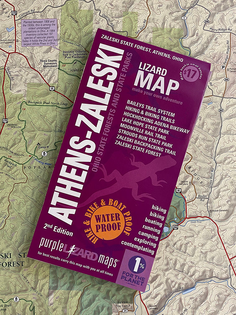


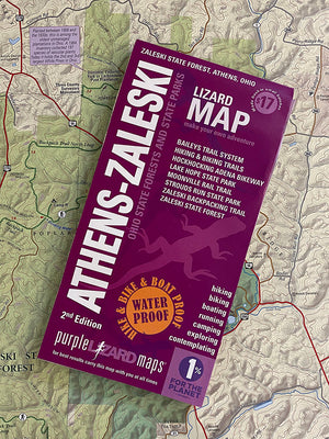
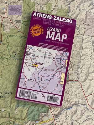


Athens-Zaleski Lizard Map, Ohio
$17.00
The most comprehensive map ever made of this fantastic area.
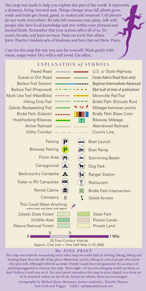
A beautifully designed, easy to read topographic map featuring contour lines, elevation data, shaded relief and all the key details you need to plan outstanding adventures: backroads and trails, trail use designations, road surfaces (paved/gravel/4wd), parking access, campsites, public lands, historic sites and more.
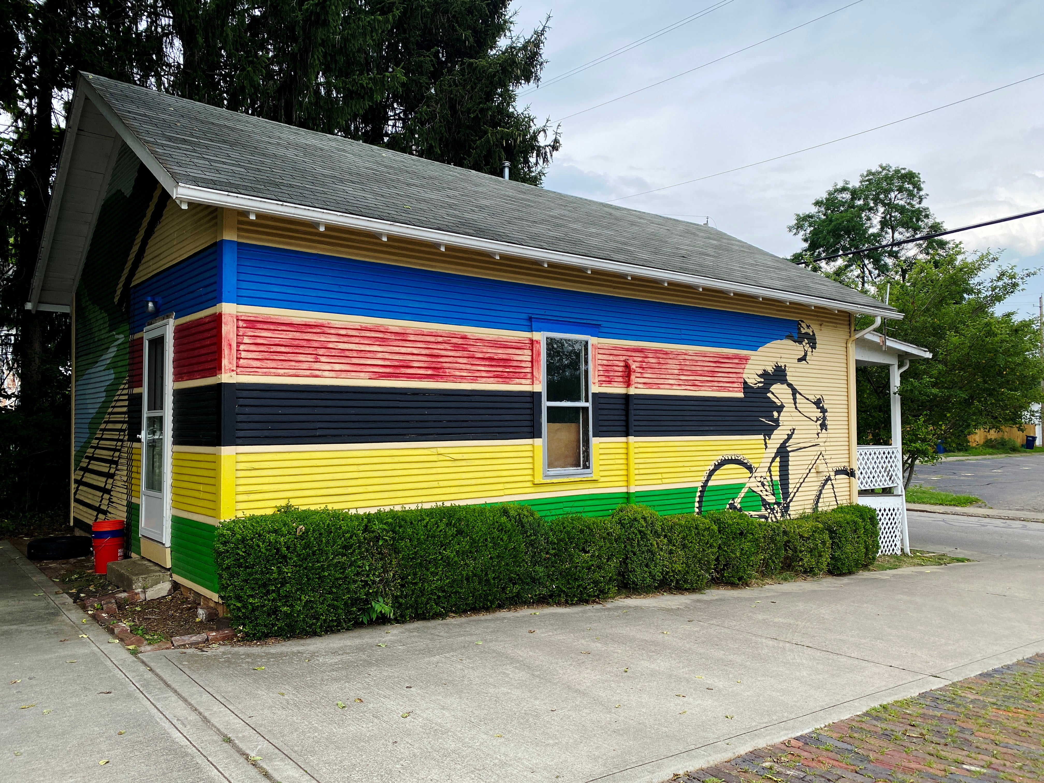
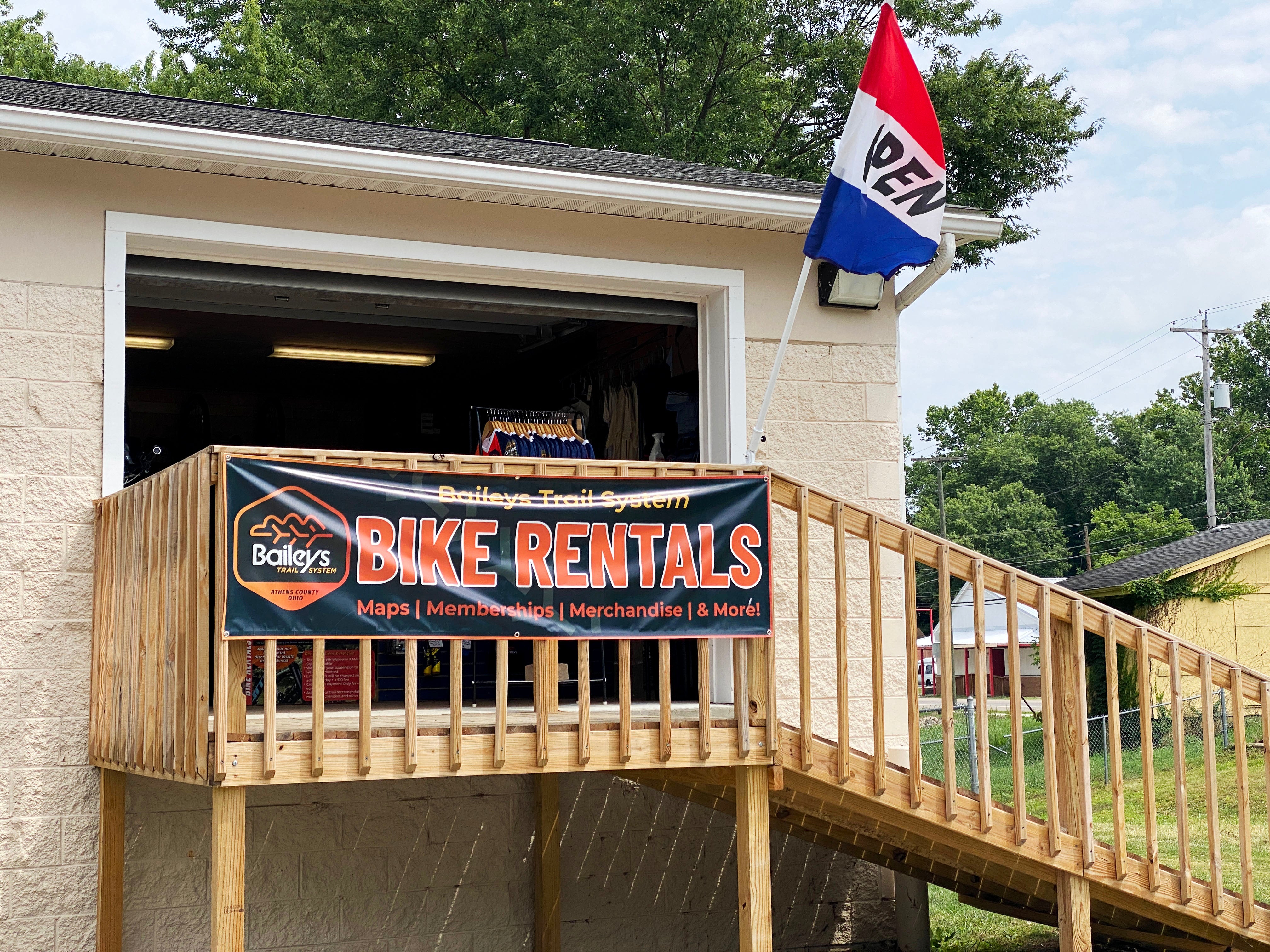
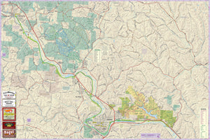
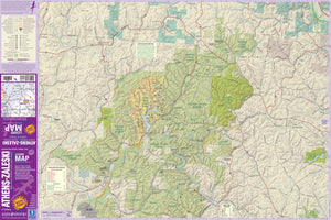
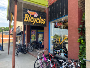
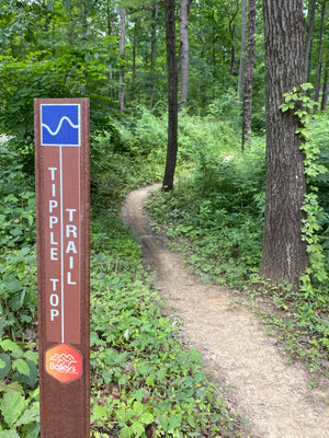
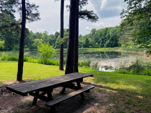
It features public lands, preserves, state parks, national forests, lakes and trails. Explore all the best recreation that the Athens, Nelsonville and Zaleski region has to offer, including the newly built Baileys Trail System, a destination mountain bike system nestled in the Appalachian foothills of Southeast Ohio.
"I have a couple of your maps and they are the BEST!"
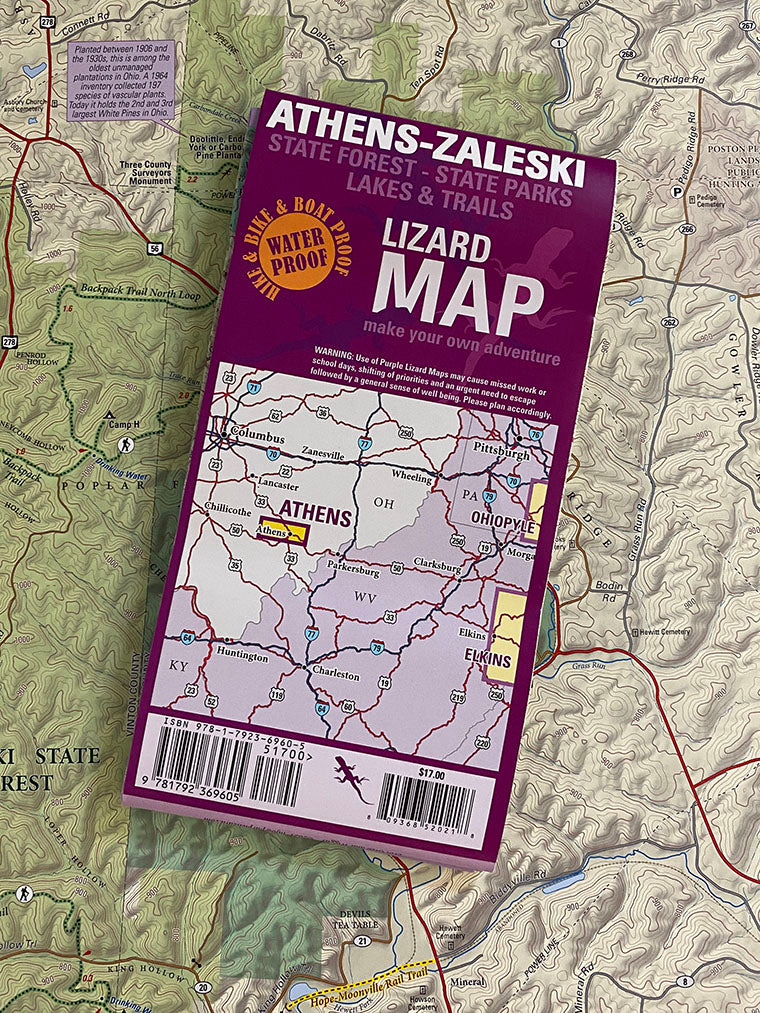
Lizard Maps are durable, waterproof, and give you the big picture – the map opens to 24” x 36” and folds easily to 4” x 8” to fit in your back pocket. The Athens-Zaleski Lizard Map scale is 1:31,000 (1 inch = 0.5 mile). Includes both lat./lon. and UTM coordinate systems.
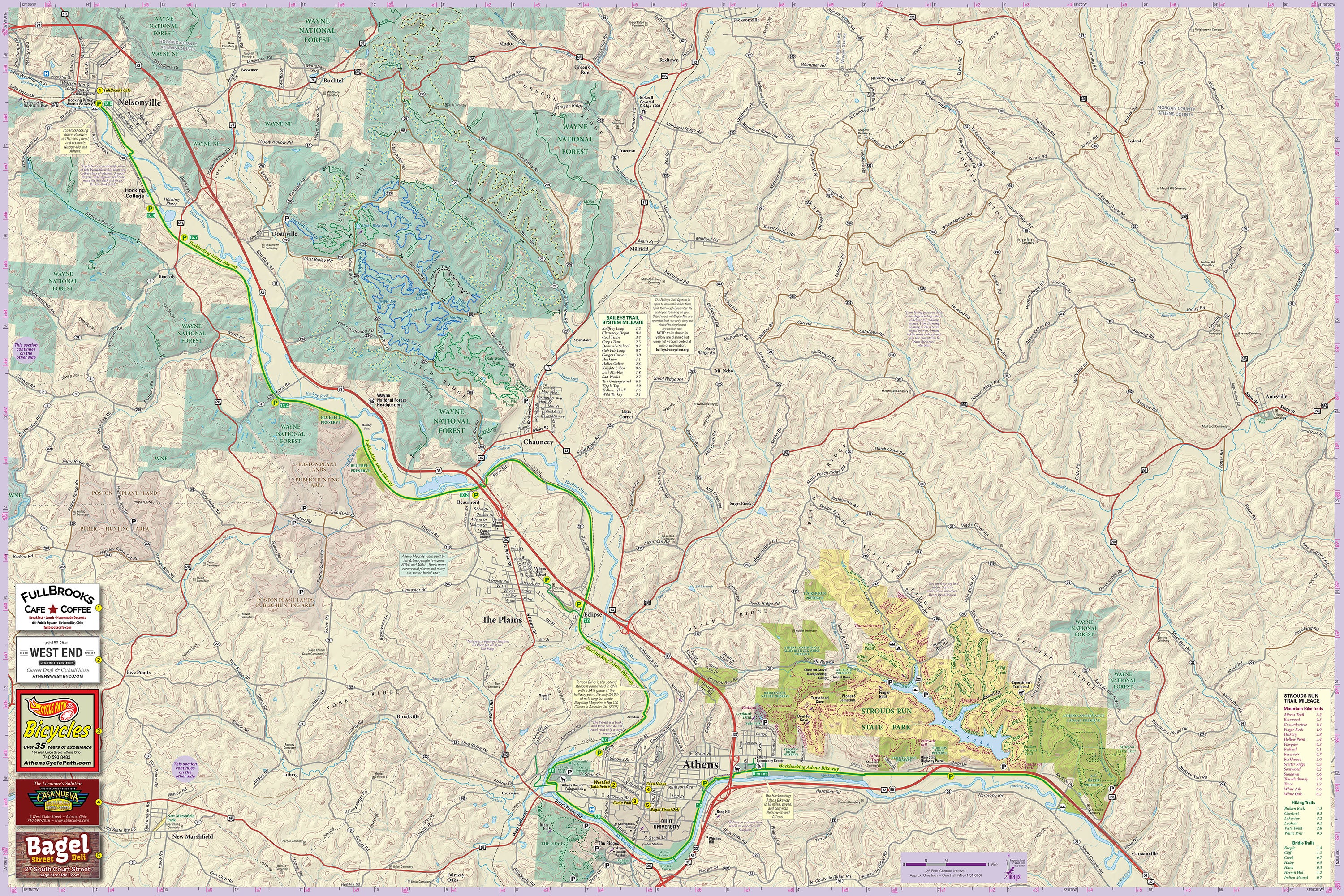
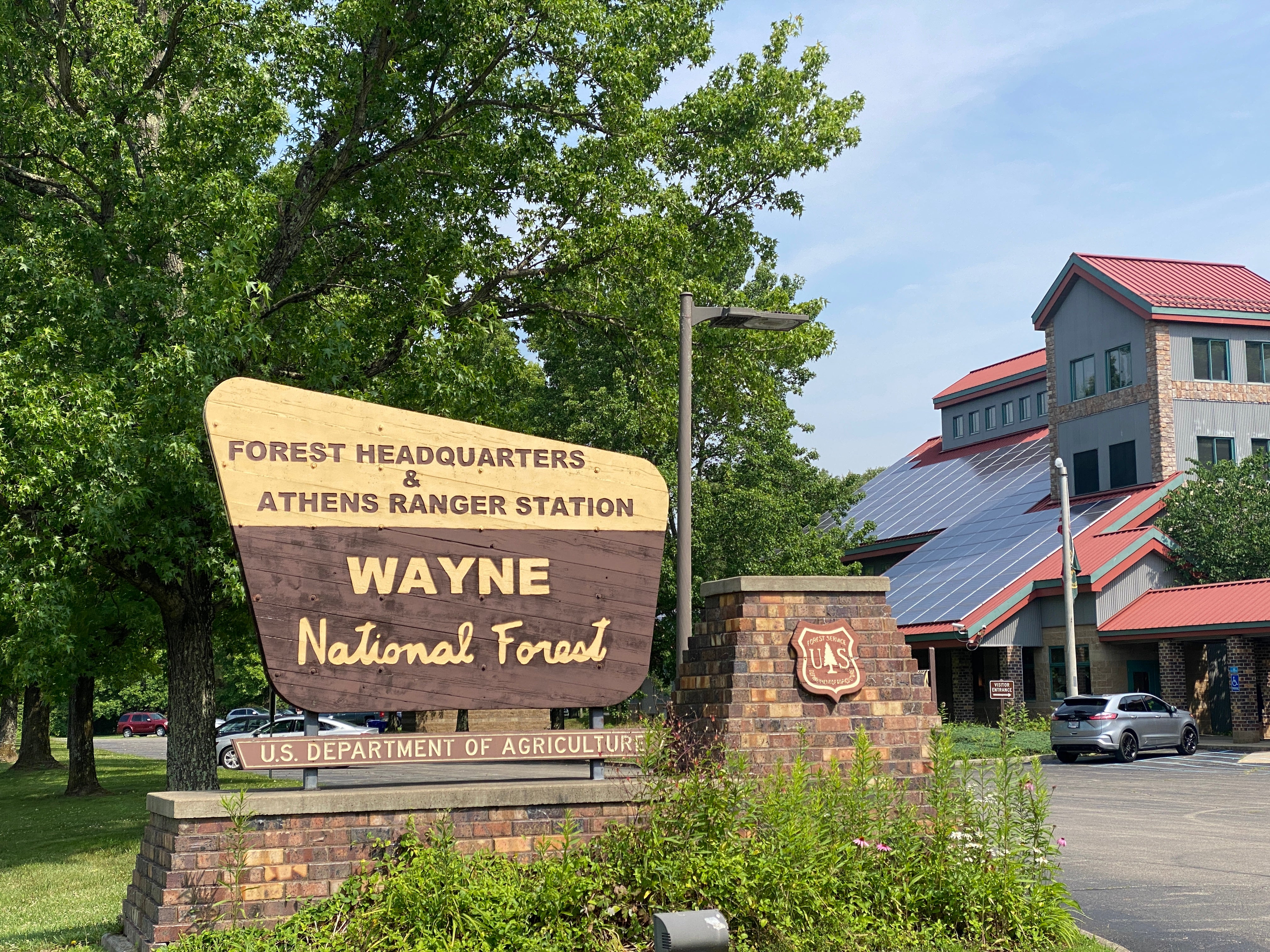
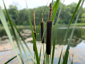
Public land: includes most of Zaleski State Forest, a section of Wayne National Forest, all of Lake Hope and Strouds Run State Park as well as land owned by the town of Athens and Ohio University.
Destinations: include the Lake Hope and Strouds Run State Parks which both offer trails, camping sites and lake recreation, and the Baileys Trail System, a destination mountain biking trail system nested in the foothills of the Appalachian Mountains with options for every level of rider.
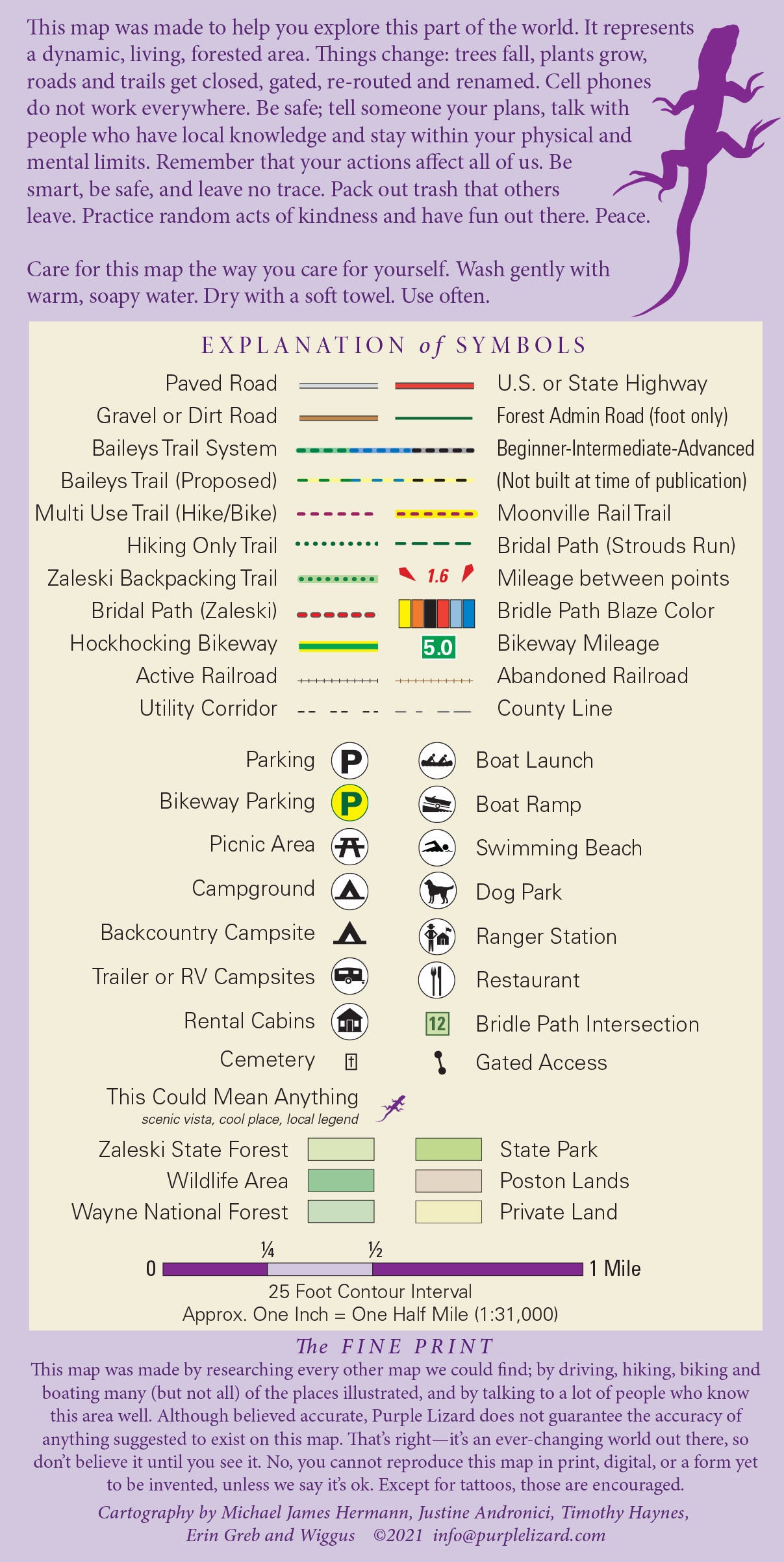
Roads: all Lizard Maps show which roads are paved, dirt/gravel or 4wd roads as well as which are gated.
Major hiking trails: include the 28.8-mile Zaleski State Forest Backpacking Trail shown in its entirety including the South, Middle and North Loops as well as connecting trails. The Zaleski Backpacking Trail is among the most popular in the state. It has three loops that are roughly 10 miles each, depending on how you enter and exit you can do a 10, 20 or 30+ mile trip with designated group campsites that have latrines and water. Not having to carry water makes this a great trip for all ages.
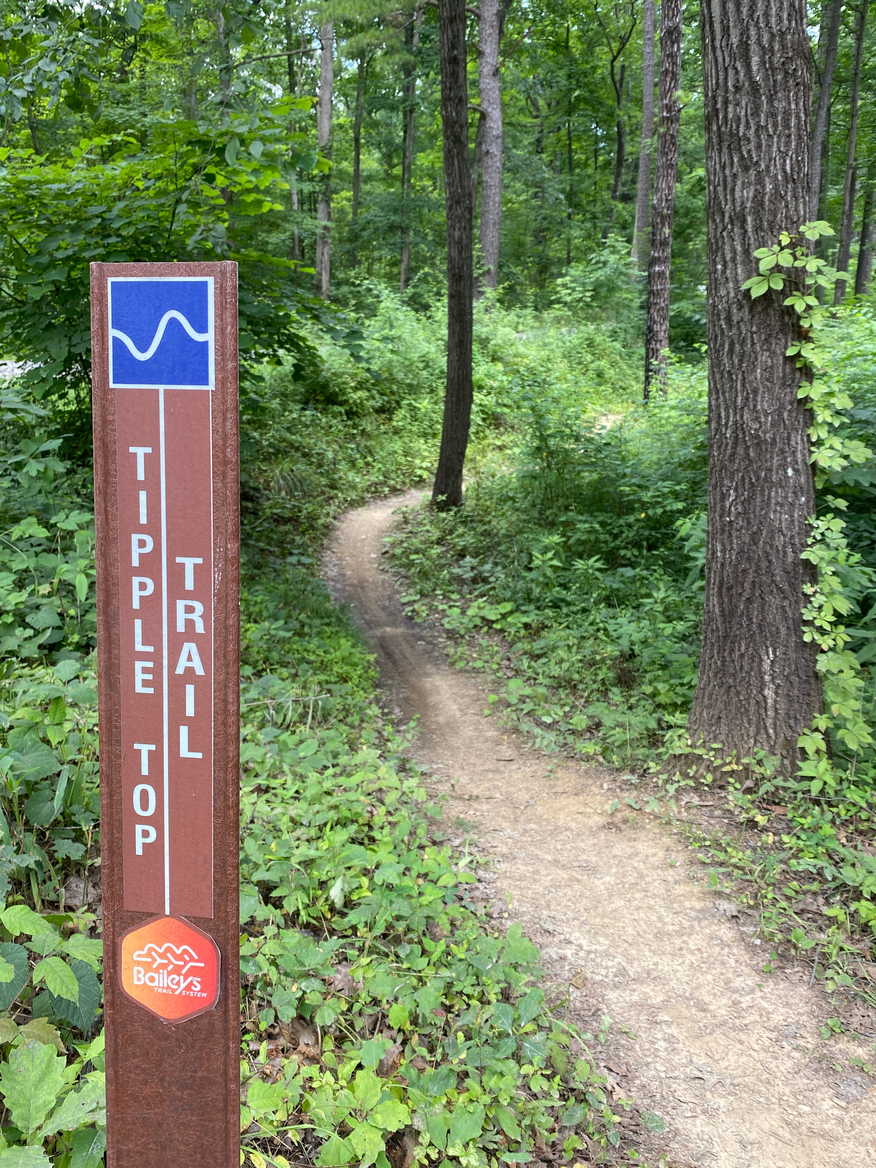
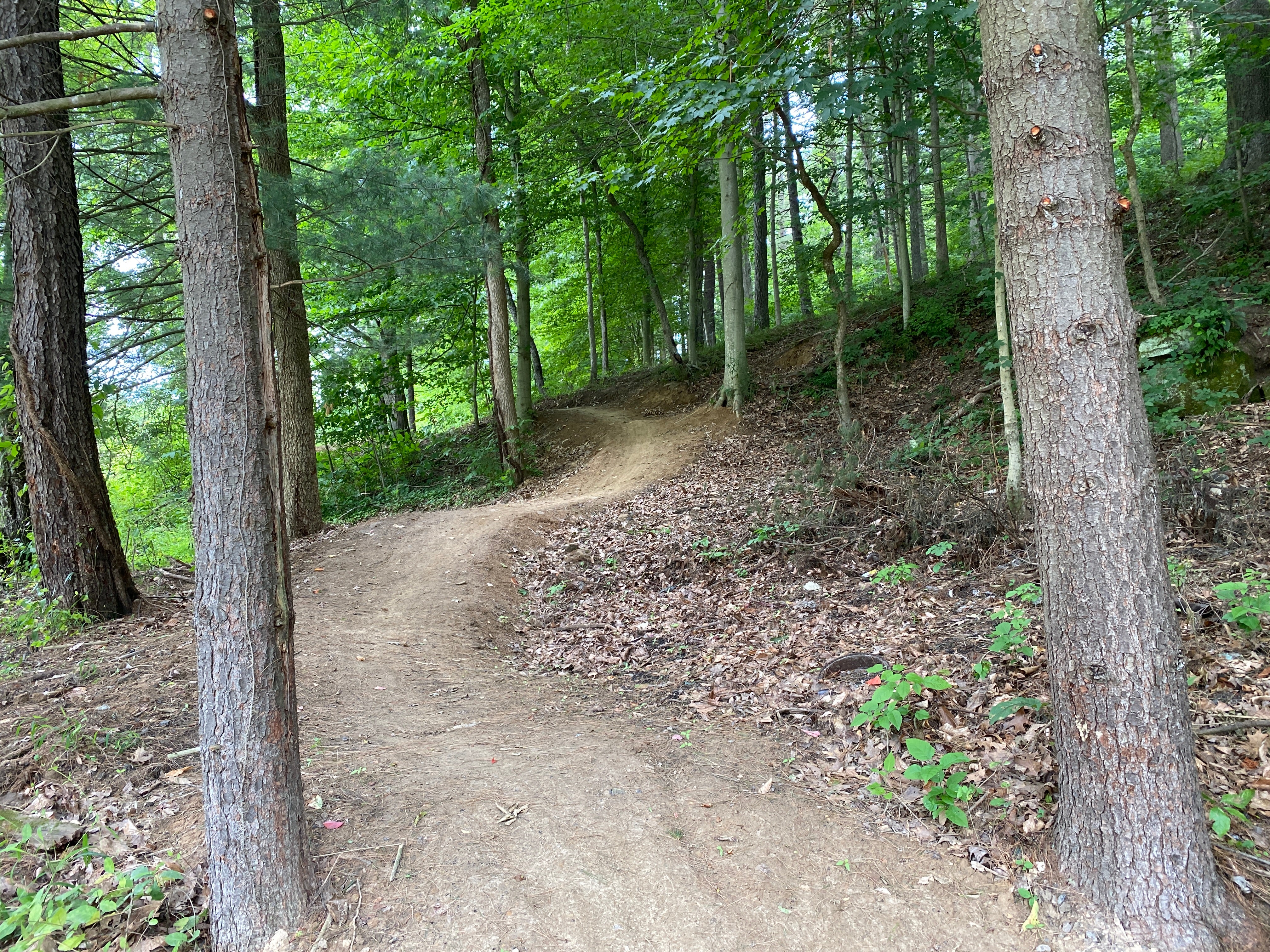
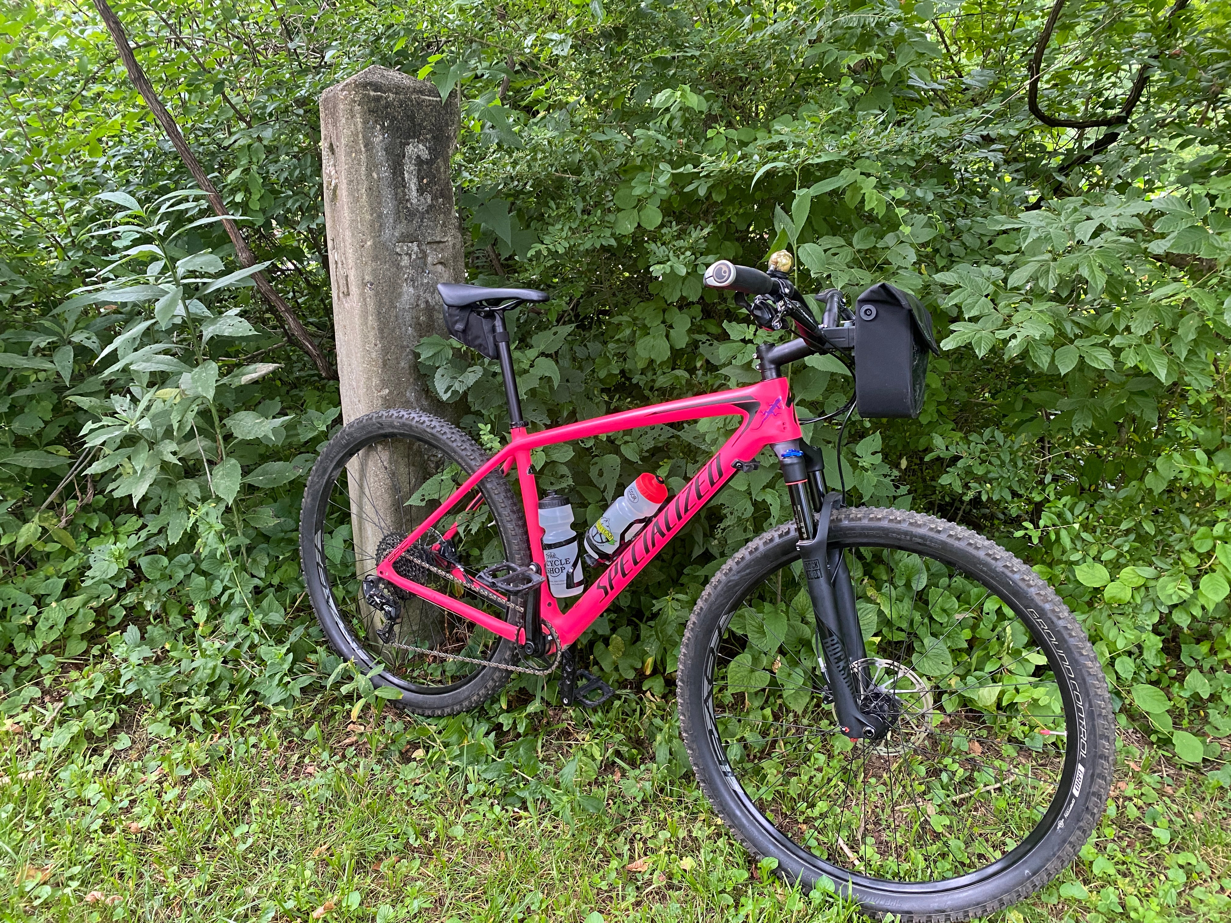
Major biking trails: The popular Bailey's Trail System is mapped as well as an incredible network of trails in Lake Hope and Strouds Run State Parks, as well as the Hockhocking Adena 20+ mile bikeway between Athens and Nelsonville. Road bikers and gravel riders enjoy a massive network of paved and gravel roads in the surrounding area, including the Moonville Rail Trail. If you think Ohio is flat you haven't been to Athens! These hills may be short but they are incredibly steep. Athens made it in Bicycling Magazine’s Top 100 Climbs in America - wait until you see what a 24% grade feels like!
Even more trails: Lizard Maps highlight and designate public trails and paths including hiking, biking and rail trails managed by federal, state and local authorities. The color-coded Bridle Trails are shown for equestrian riders.
Points of interest: Campgrounds, picnic areas, climbing areas, reservable car camping sites, scenic overlooks and lizard spots. Historic Adena Mounds are shown which date to 800BC.
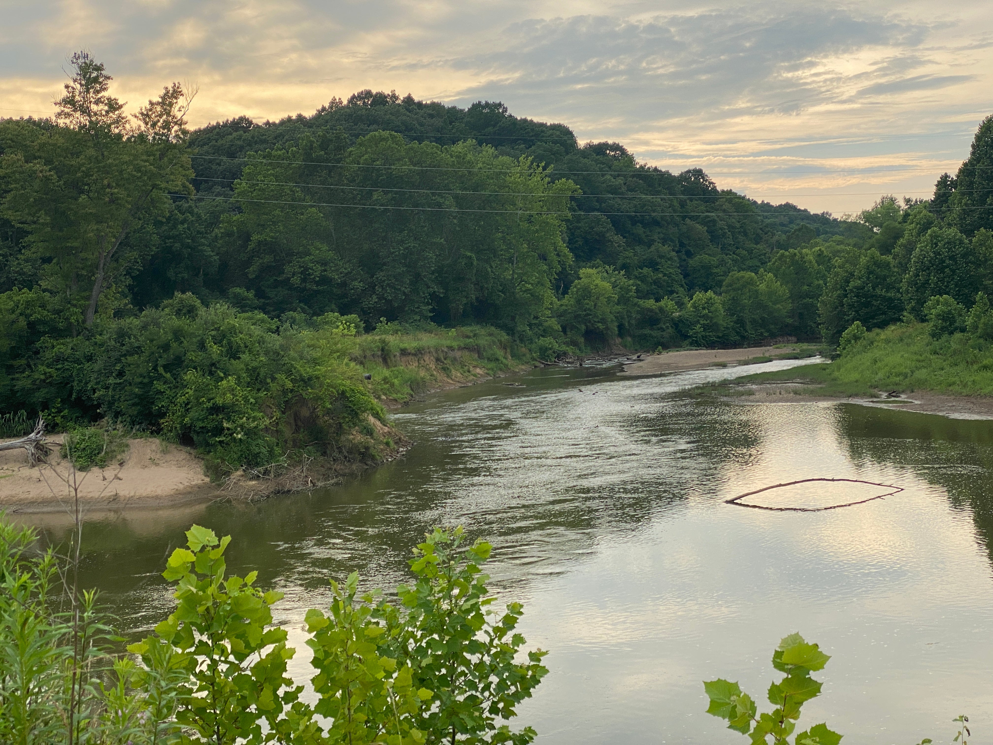
Destinations: include Waterloo Wildlife Area, Fox Lake Wildlife Area, Lake Snowden Recreation Park and Turkey Ridge Wildlife Area. The Hockhocking River is shown from Nelsonville to Strouds Run SP.
Towns: Athens, Chauncy, Nelsonville, The Plains, Zaleski, OH.
Lizards! The little purple Lizards you’ll find scattered on the map signify an interesting spot to check out. The Legend says “This Could Mean Anything: cool place, sweet view, local legend”.
Trail running is fantastic in this area. Hikers have a lot of foot-only options in Zaleski State Forest and Lake Hope and Strouds Run State Parks, as well as several Preserves in the surrounding area. Mountain bikers enjoy an incredible network of nested loops in Lake Hope and Strouds Run State Parks, the newly built Baileys trail system, as well as the Hockhocking Adena 18-mile bikeway between Athens and Nelsonville. Road bikers and gravel riders enjoy a massive network of paved and gravel roads in the surrounding area, including the fantastic Moonville Rail Trail. Equestrians have a comprehensive trail system, well marked with color blazes, that winds throughout the hollows of southern Zaleski State Forest. There is even a dedicated Horse Camping Area.
The Zaleski State Forest Backpacking Trail is among the most popular in the state. It has three loops that are roughly 10 miles each, depending on how you enter and exit you can do a 10, 20 or 30+ mile trip with designated group campsites that have latrines and water. Not having to carry water makes this a great trip for all ages.
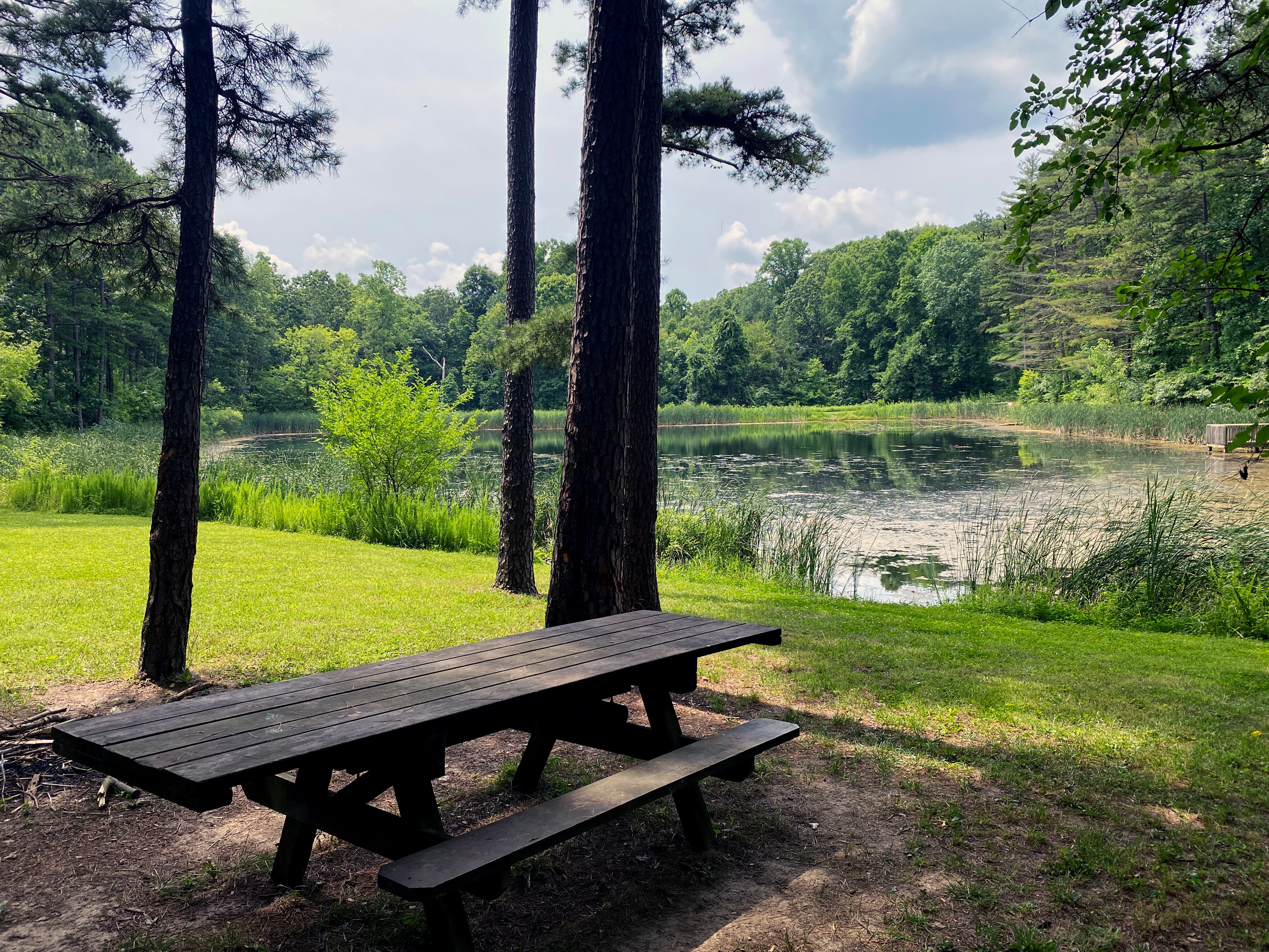
Just minutes from downtown Athens you will find Strouds Run State Park where you can pedal, hike or trail run on a seemingly endless network of wooded paths. Rent a canoe, kayak, pedal boat, paddle board or hydro-bike and explore the lake. About 30 minutes away is Lake Hope State Park, where you will find similar options nestled in the middle of Zaleski State Forest, which is the second-largest State Forest in Ohio with 28,000 acres waiting for you to explore. Tent camping and cabin rentals are available at each State Park if you just can't leave.
A quote from an article in Dirt Rag: "While I don’t want to overstate this, these [Athens] trails are truly outstanding on many levels. Their layout and construction are top notch, and they traverse a landscape studded with beautiful cliffs, coves, and rock formations. There are high ridges, deep ravines, and impressive lake and valley views. The singletrack is fast and flowing and at times rocky and tricky-technical. You will never be bored there."
Shipping Privacy and Return Policies
We are a proud member of 1% For The Planet.

Product Type : Maps