Your Cart is Empty

Make Your Own Adventure with the Tuscarora Lizard Map
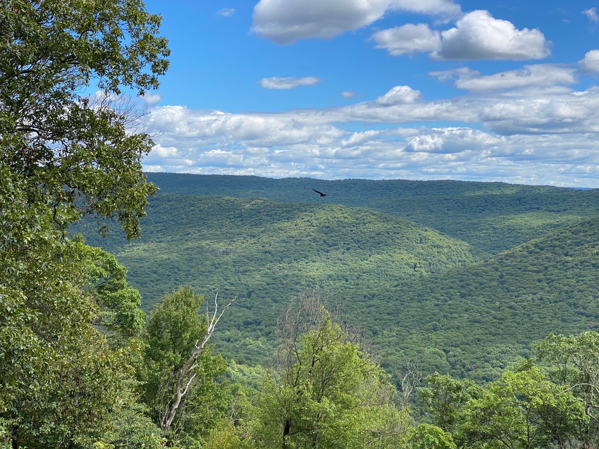
The Tuscarora State Forest in central Pennsylvania sprawls across six counties between Huntingdon and Lewistown in the north and Carlisle to the south. You’ll find remote roads and trails, mountain creeks, long ridgetop views and quiet waterside rests - everything you need for fantastic outdoor adventure. It is accessible too. You won’t find any high clearance four wheel drive roads or ATV trails; passenger cars can access all of Tuscarora State Forest.
There are hiking-only trails, shared-use trails, and lots of gated roads closed to traffic but perfect for exploring by foot, bicycle or horse. There is also a tremendous amount of Native and Colonial history on this map. You’ll find roads that follow Native footpaths developed thousands of years ago, covered bridges from the 1800s, springs built by the Civilian Conservation Corps in the 1930s, and some of the most beautiful farm valleys in the state.
Tuscarora has something for everyone.

Navigating Tuscarora
Tuscarora State Forest is split into two separate tracts: North and South. The Tuscarora Lizard Map is split into two sides; North and South, and you should be using the correct map side for each respective tract. There is some overlap on the two map sides so you can easily transition between them.

NORTHERN TRACT
The northern tract of Tuscarora State Forest sits between Mount Union and Lewistown, PA. It is a long, narrow tract bisected by one main route: East and West Licking Creek Drive, a dirt forestry road that connects the eastern side at Mifflin and Mifflintown from route 322 to the western side near Mount Union and route 22. This is the only continuous route through the forest. There are many gated side roads and trails to explore on foot or on horseback and bicycle; some offer loops and many go out several miles and stop at the forest boundary. There is one north-south route through McVeytown south to route 35 on a mix of paved and dirt roads. You can make a loop out of it with Blacklog Valley Road.
Although the northern tract is long and narrow, there are 15 remote motorized campsites in this section. East and West Licking Creeks are both popular destinations for fly fishing, and the Guss Picnic Area is a beautiful spot to sit by the creek and explore the short trails nearby.

The short trip up Longfellow Road will reward you with one of the best double vistas from the ridgeline of Blue Mountain: Anderson Gap Vista to the northwest overlooks the Juniata River towards Jacks Mountain, and Short Mountain Vista to the southest overlooks East Licking Creek and the rolling hills towards Shade Mountain. These two vistas are 100 feet apart as the road crests the ridge.

The north side also maps out the Juniata River from Huntingdon, PA to Port Royal, PA. This is a paddlers river with many launch sites available to put in and take out canoes and kayaks. Small motor boats can also access the Juniata, although it is largely a shallow river. There are several small, public islands available to explore and some have campsites which can be used to plan longer trips downriver. The river miles are shown along the way to help you plan the trip. Check in with Rothrock Outfitters in Huntingdon for river conditions, they know this section of water well.
The north side of this map also includes a large swath of Rothrock State Forest and fills in some areas of Rothrock that are not shown on the Rothrock State Forest Lizard Map. Specifically, the area that the Standing Stone Trail passes through on Jacks Mountain by the town of Mount Union. The Standing Stone Trail (SST) is an 84-mile long hiking trails that connects the Mid State Trail and the Tuscarora Trail. This map shows it from the Butler Knob Shelter in the south (State game Lands 99) to Willie’s Window just past the Stone Mountain Hawk Watch Platform in the north. The SST is a spectacular trail and some of the ‘Greatest Hits’ are mapped out here on both sides of the famous Thousand Steps section along route 22. In Rothrock, the section through Rocky Ridge Natural Area is a special treat as it wanders through large rock outcrops.
Lewistown and Huntingdon are the two ‘big’ small towns on the northside, most of the others are crossroads or very small communities where supplies will be limited. Look to these two towns to resupply, or to find bike shops, coffee shops, motels and eateries.
The big valley in between the north and south tract has some of the most beautiful farmland vistas we’ve ever seen. All of those backroads are worthy of an official Scenic Drive designation, and history buffs will appreciate the area around Academy, PA.

SOUTHERN TRACT
The Southern Tract is larger and sprawls along several ridges and valleys. There are over 30 remote motorized campsites as well as two State Parks Campgrounds (Fowler Howler and Colonel Denning). The very remote Tuscarora Trail passes through this tract as it connects back to the Appalachian Trail near Carlisle – after leaving the Appalachian Trail in Virginia – on its 250 mile route through VA, WV, MD and PA. The southern tract is accessible from a few state highways but 233 and 274 cut right through sections allowing you to get on the dirt forestry roads easily.

There are two Natural Areas to explore in the southern tract: the Frank Masland Natural Area and The Hemlocks Natural Area. Natural Areas are only accessible by foot, and both of these special places are worth exploring.

There are three State Parks in the southern tract: Big Spring, Fowlers Hollow and Colonel Denning. Big Spring is the smallest park with several picknick areas and restrooms. The Tunnel Trail is the featured attraction which is a short loop that leads to an unfinished railroad tunnel that you can explore. Fowlers Hollow has picknick areas and a small campground loop, and access to several gated roads and trails to hike, bike or ride horses on. Colonel Denning is the crown jewel with a swimming lake, larger campground and access to several popular hiking trails. The hike to Flat Rock Overlook is well worth the effort, providing stunning views south towards the mountains of Michaux State Forest.
The Tuscarora Trail can be day hiked in many places throughout the southern tract. There are long sections of ridgetop trail that can be hiked as an out and back, and you’ll find many sections that cross the ridge and valley topography that can be used to make any number of loop hikes using other trails or roads. Several excellent vistas can be found within a few miles on either side of route 74 at Waggoner’s Gap on Blue Mountain. Please note there is no public access to the Reineman Wildlife Sanctuary; stay on the Tuscarora Trail.

From Waggoner’s Gap you are very close to Carlisle, which has all the amenities you could want to restock or simply base your adventuring from. There are many beautiful parks, paths and rail trails in this historic town, as well as bicycle shops, outfitters and eateries. The PA Turnpike and Interstate 81 service Carlisle, so it’s a pretty easy place to start or finish your Tuscarora adventures!
