Your Cart is Empty
Explore Loyalsock State Forest in the PA Wilds
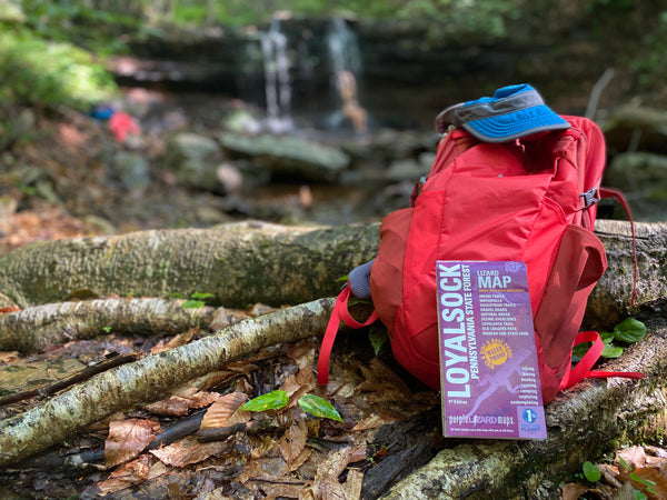
Loyalsock State Forest, located in the heart of the PA Wilds, has just about everything that an outdoors lover could want. Waterfalls, vistas, trails, gravel roads, swimming holes, historical relics, camping sites; this forest has it all! The Purple Lizard Team spent several months learning the finer details of this forest and the surrounding lands that are open to the public when we were working on the Loyalsock Lizard Map. We hiked or ran most of the trails, including some long forgotten trails. We drove almost every road in the forest. We camped at several of the car camping sites, visited local private campgrounds, and stayed at the cabins in Worlds End State Park. We met with land managers, club leaders, local business owners, local authors, bloggers, photographers, and private land owners. We stopped at local eateries to re-fuel, local coffee shops to re-energize, and local shops to get to know the area as best we could.

The result from all of this research? We've created an adventure-proof map that unlocks a massive landscape for you to explore from Williamsport northeast to Worlds End State Park. We did this just so you can get out there and enjoy this wonderful place! So scroll away to check out some highlights of this map, then pick up a copy for yourself to plan your own excursion to the 'Sock this year!
Waterfalls
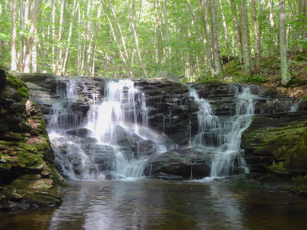
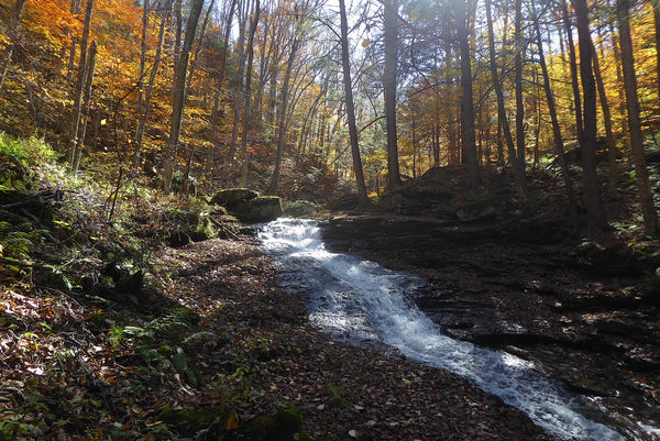
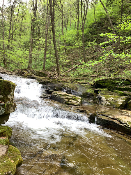
Yep, Loyalsock State Forest has plenty of waterfalls. Many of these waterfalls are along popular hiking trails, but some are not. The Loyalsock Lizard Map notes special, off-trail waterfalls and cascades which aren't noted elsewhere. Of course we didn't mark every single cascade and waterfall - there are just too many in this area - but we did list many of the falls we believe are worth finding within public lands on our map.

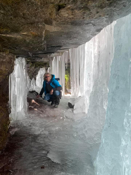
Jacoby Falls is popular winter hike that is easily accessible 3-mile roundtrip from a parking lot along a plowed township road. The frozen falls have a chamber you can hike into. You'll want micro spikes or some type of traction cleat for this hike - hiking poles with a spike point are also helpful.
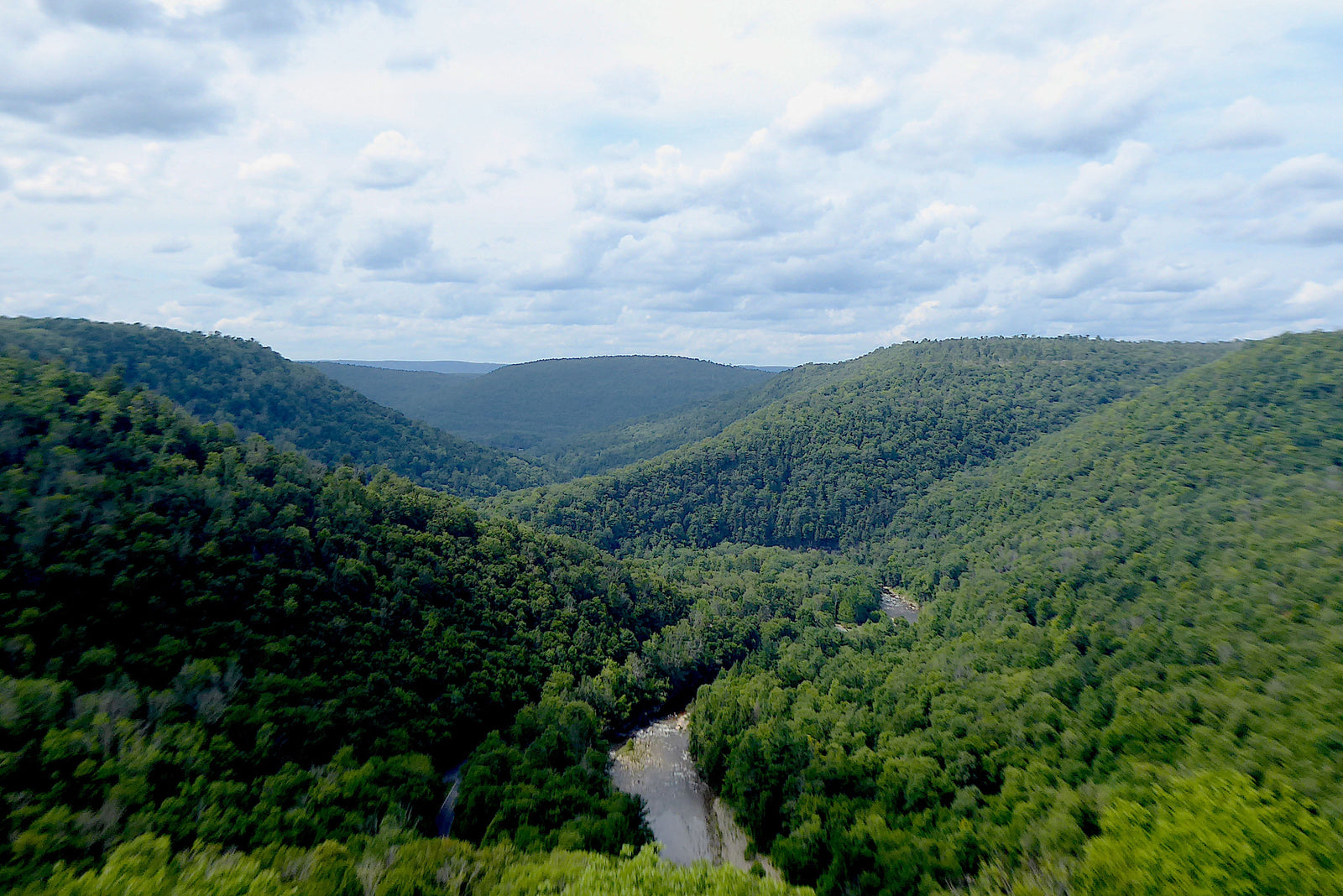
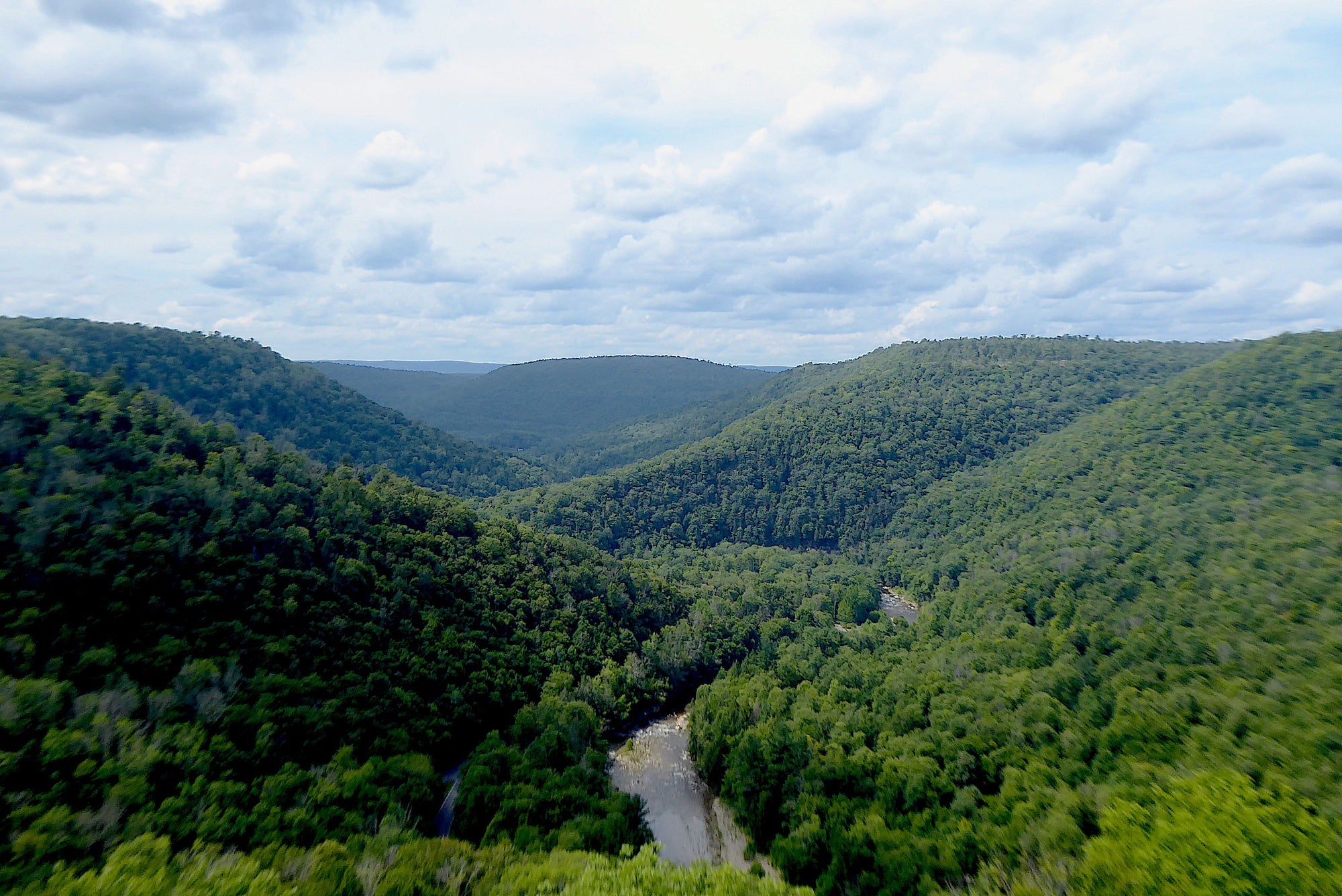
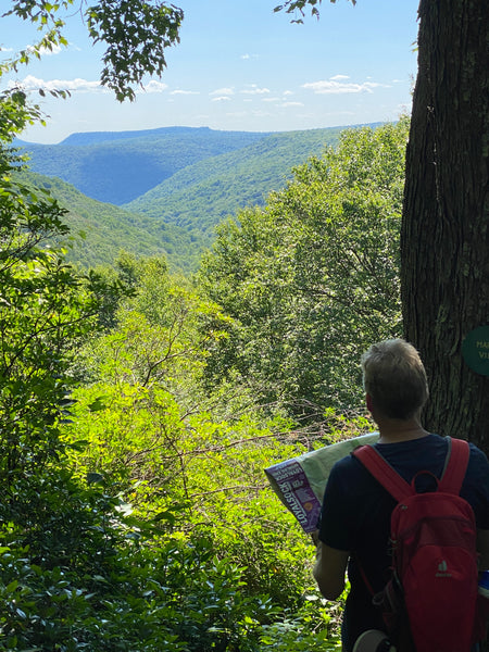
Vistas
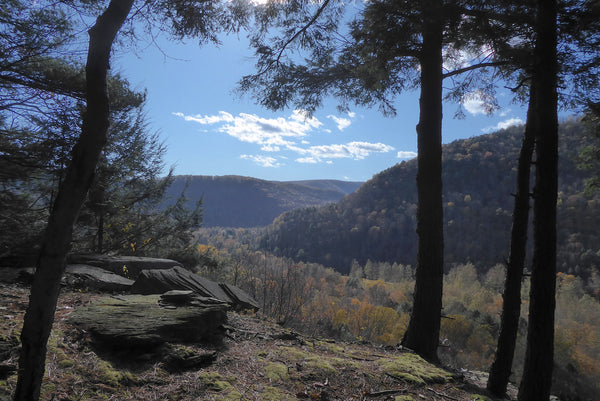
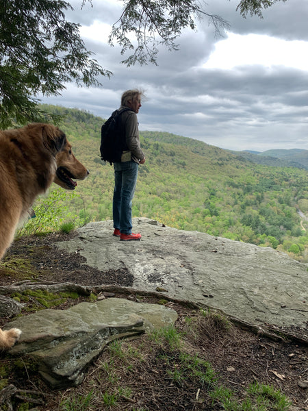
The vistas in Loyalsock State Forest and the surrounding area are numerous and amazing! Some vistas, like High Knob, are accessible by car. Other vistas, like the picture above, are on hiking trails. Still other vistas can be found by those who enjoy hiking off trail to find special places. The Loyalsock Lizard Map names some of the most popular vistas. As always, we add little purple lizards on the map to help you find some of our favorites.
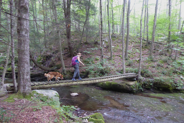
Mountain Streams
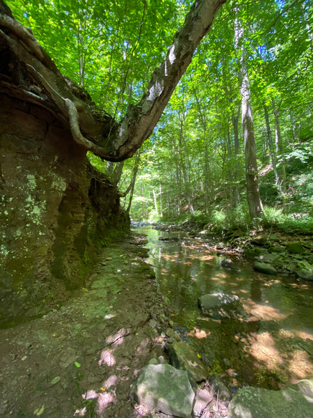

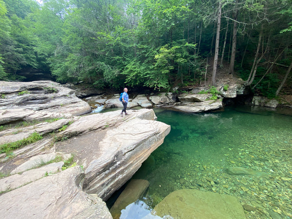
Loyalsock State Forest includes a ridiculous amount of water. Seriously, if you're looking for water, you've found the right place! The Purple Lizard Loyalsock Lizard Map notes all public put-ins and take-outs for paddling and floating adventures within state forest lands. Paddlers and swimmers beware, the streams in this part of the state can rise and fall rapidly, even from a quick summer thunderstorm. When you do visit, take note of how multiple flood events in the last few years have changed the patterns and flow of the water in the valleys.
Hiking and Backpacking
Loyalsock State Forest has many trail choices for those looking for a walk in the woods for a few minutes or a few hours. Or drop out altogether for a multiday backpacking adventure along the Old Loggers Path or Loyalsock Trail.

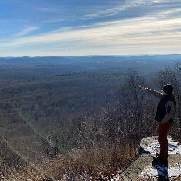
Vistas
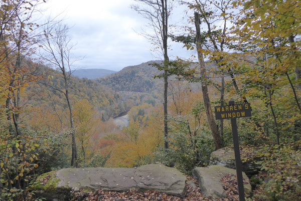
Did we mention vistas already? I guess we did, but there so many in Loyalsock it's worth another take!
Worlds End State Park
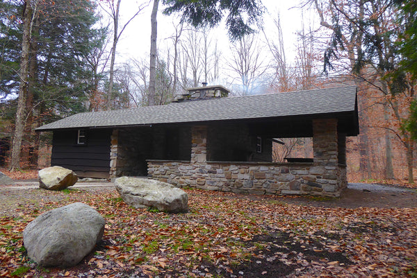
Speaking of camping, Worlds End State Park offers plenty of car camping as well as year-round cabin rentals! The Loyalsock Lizard Map includes all of Worlds End State Park, as well as an inset map of the dense trail system. There are a number of great trails within the park that offer stunning views and waterfalls. One of the newest trails in the park, Cold Run Trail, is sure to become a favorite among visitors.
Forest Roads
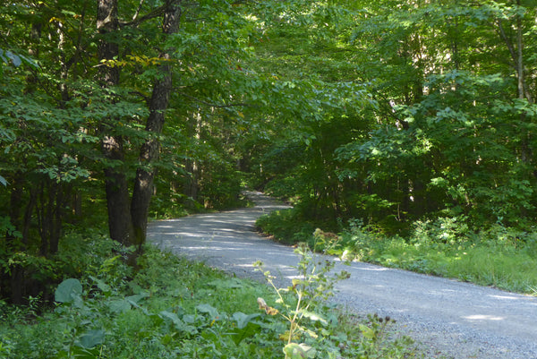
Just like most other PA state forests, Loyalsock is full of roads with a varying level of maintenance and use. While true 4wd roads aren't a part of Loyalsock, unless you find them after a storm washed parts away, there is still plenty of fun to be had for all types of cars and drives. No matter where you drive in this forest, please drive cautiously and keep a lookout for other forest users (and creatures) on the roadways.


Have Fun Out There!
