Your Cart is Empty

Six Mile Run South: A Winter Day Hike In Moshannon State Forest, PA
Fighting winter blues? Head out to Black Moshannon!
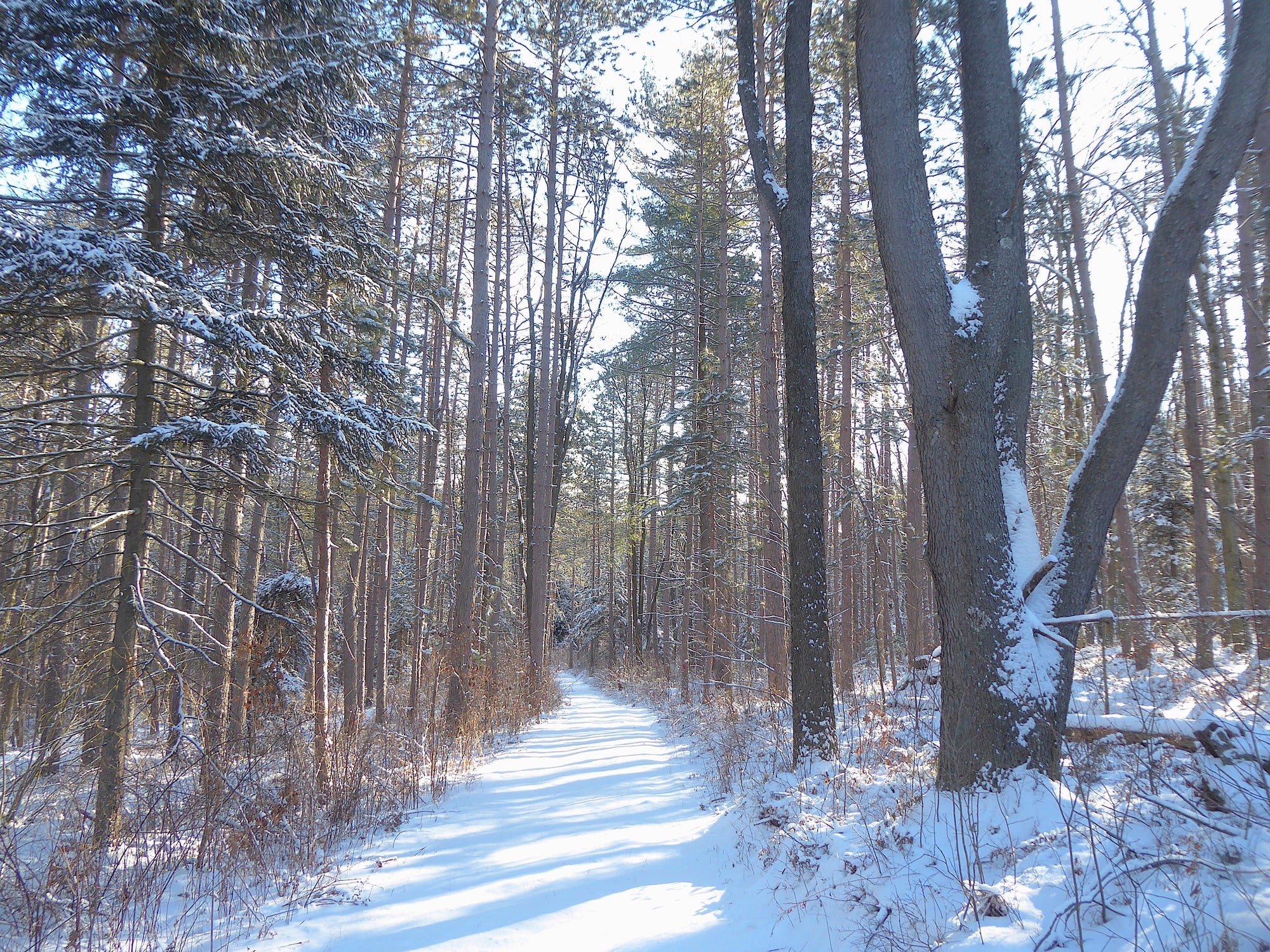
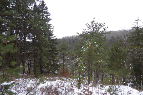
Get outside to enjoy evergreen trees while discovering trails near Black Moshannon State Park! Snow or no snow, it doesn't much matter! It's always a great time to grab your Moshannon Lizard Map and follow along on a short adventure along Six Mile Run. This hike includes green leaves and clear streams all year long - oftentimes with a winter blanket of beautiful snow!
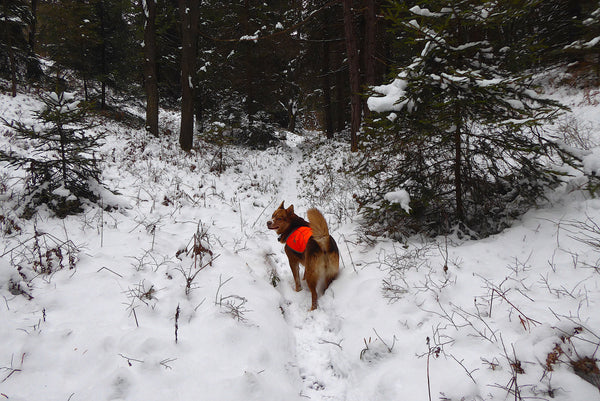
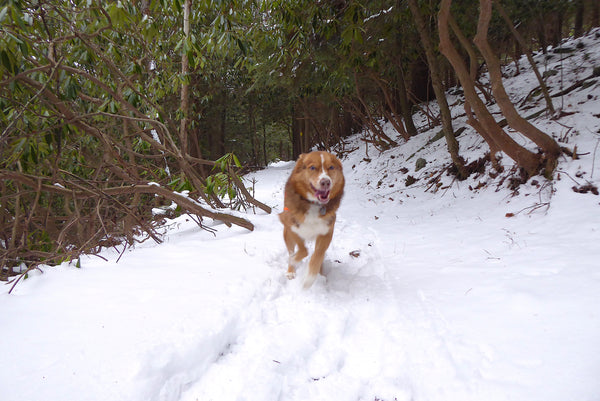
Of course our pets need exercise too. Bring them along on this hike if they are conditioned for the winter temps, but keep them under very close control, especially since this area is populated by porcupines. Porcupines are definitely not your dog's best friend!
This hike, which can be 4 miles or an expanded into a 8 mile hike (info on both options below!) begins at the intersection of Route 504 and Six Mile Run Road, which is about 2.5 miles west of Black Moshannon State Park, or 6 miles east of Route 322 in downtown Philipsburg. Route 504 is usually in pretty good shape all winter, but be sure to watch for black ice just in case.
Parking?
A few parking areas exist near this intersection, but remember to avoid parking in front of any gated driveways that lead to private cabins. The best spot to park is on the north side of Route 504 at a plowed State Forest lot along Six Mile Run Road. This spot usually holds up to 5 cars over the winter season. We omitted a parking symbol here on the Moshannon-Quehanna Lizard Map to avoid possible confusion with the private cabin.
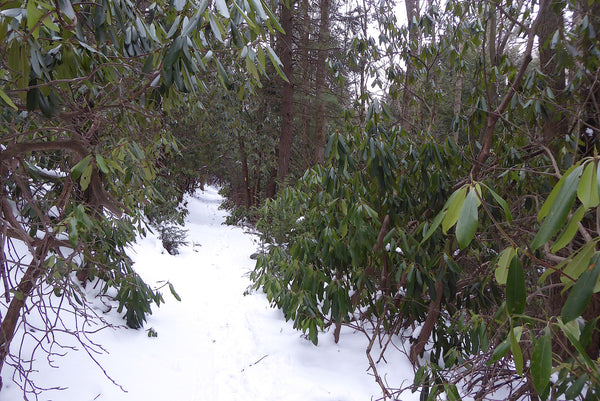
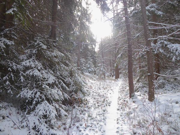
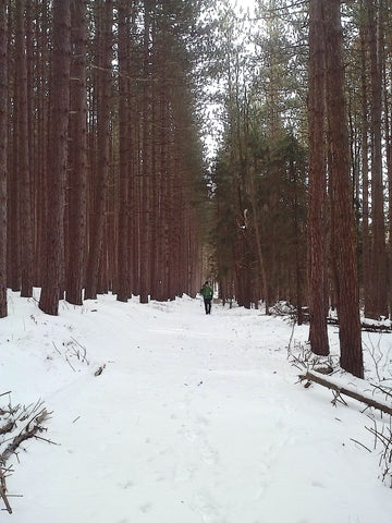
Begin hiking southbound on the Allegheny Front Trail (AFT) by stepping over a gated wooden bridge. Follow the yellow blazes as they immediately turn left and begin climbing for a short bit. The trail then switchbacks sharply and levels off as it leads through a tunnel of large rhododendrons, which keep their green leaves year-round. Enjoy the bright colors!
Note: Hikers who mistakenly miss this switchback will find themselves following an unmaintained and unblazed old trail upstream along Hutton Run, which leads towards the Mid-State Airport. This is not an official DCNR trail, so we don't recommend using it.
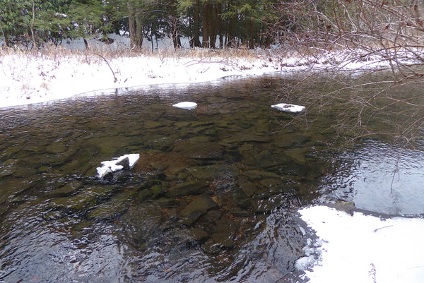
Soon enough the trail descends towards Six Mile Run, which is stunningly clear here. Since 1997 efforts by Clearwater Conservancy and DCNR have helped to mitigate sediment runoff that used to negatively effect these waters and the plant and animals species that depend on clean water. Learn more about the Corman Clearwater Crossing and the Dirt and Gravel Road Maintenance Program.
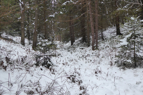
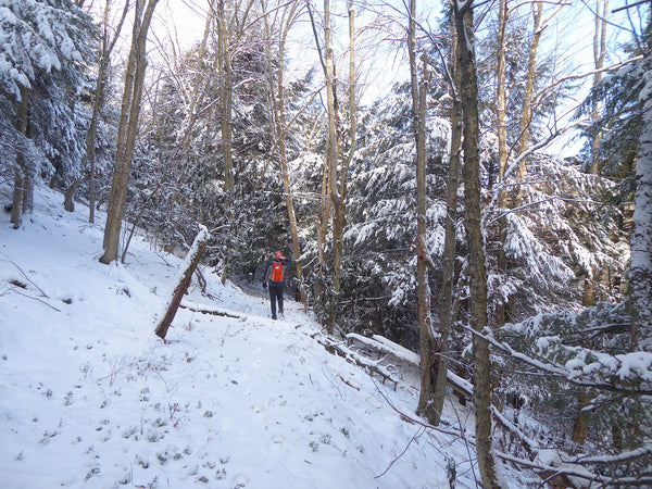
The AFT meanders up and down along this stream for a while before climbing up a beautiful side hollow on an old logging grade. Again, take time to look up and enjoy the beautiful green needles from trees such as red pine, white pine, and hemlock. Take note of a pipeline and access road at the top of this 250 foot climb. This is Shields Dam Trail, which is referenced on your Moshannon Lizard Map.
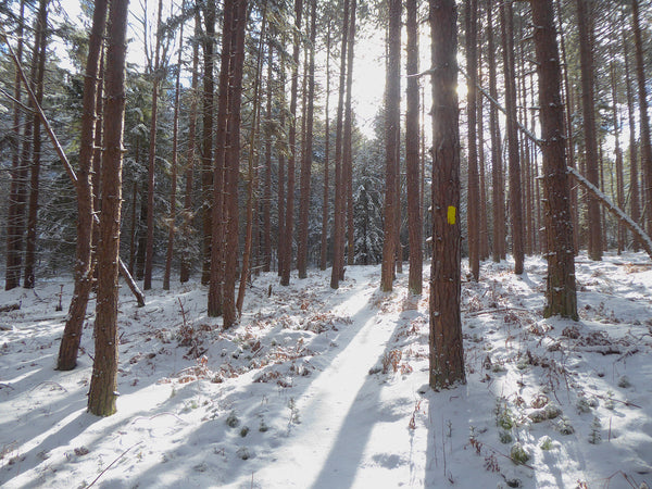
The trail winds through an old red pine plantation. Luckily, the bright yellow blazes stand out well in this type of forest, so hikers can easily follow the path. Reach another logging road, which is again Shields Dam Trail.
Choices, Choices!
We suggest pulling out your map and making a decision here: Turn right on Shields Dam and follow it as it loops back to the AFT, which then leads you back to your car. This creates a hike of about 4 miles total. If you are feeling good and have plenty of sunlight, keep heading south! We'll lead you on a hike that is about 7-8 miles total length!
The AFT descends off of the plateau onto a logging grade that parallels Six Mile Run about 100 feet above the stream. Follow this gentle grade the whole way to Shields Dam Road, which is gated towards the left. Pass through the gate and follow this road, which is also a snowmobile trail, for about a mile unto the red blazed Shields Dam Trail veers off to the left.
Shields Dam Trail is an easy trail that stay on top of the plateau for less than one mile before crossing the AFT. You've been here before, check for your tracks! Continue straight on Shields Dam Trail past this intersection. Soon enough the trail makes a sharp right hand turn, then reaches the AFT yet again. This time, hop back on the AFT, turn left, and retrace your steps back to your car on Route 504.
Now go home and be proud of yourself (and your pup) for braving the winter conditions and enjoying some outside exercise!

Permanent markers work great on our maps! Notice the rudimentary arrows we made on our map to show the route described above.
