Your Cart is Empty

Winter Wonderland: Dolly Sods Wilderness, West Virginia
Lizard Seeker Eriks Perkons recently completed an overnight winter backpacking trip in Dollys Sods Wilderness Area, West Virginia. This was his first time exploring this area. Even though winter clouds and an oncoming winter storm blocked the vistas, he still had a great time! Read about his trip below.
By Lizard Seeker Eriks Perkons
A Winter Weekend In Dolly Sods
With the addition of the new Dolly Sods-Seneca Rocks Lizard Map to my map and guide collection, I spent a few days poring over the network of trails before I just had to get out and explore. Winter is a great time to get out if you want solitude, and that is just what I was looking for. Outdoor recreation in the winter does come with its own set of challenges to prepare for, though too. (check out Purple Lizard's post for great tips on getting out in winter!)
Winter Trailhead Access
While the Dolly Sods Wilderness can be accessed by a number of forest roads, most are unmaintained and gated during winter, making the Red Creek Trailhead (near Laneville) the best choice when snow starts to fall. Having never set foot on this wild high plateau before, I planned for a general circumnavigation to see as much as possible. My goal was a three day solo trip, with the first two days in the Dolly Sods, and wrapping up a third day in the Roaring Plains West Wilderness to the south.
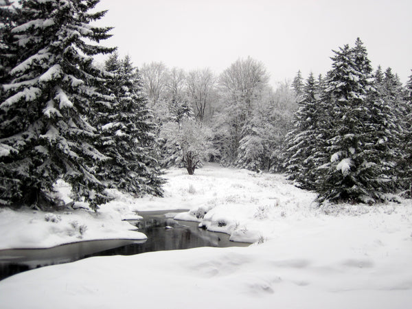
I arrived mid-morning on a cloudy weekday, to a parking lot empty except for one other car and a few inches of snow. The Red Creek Trail is a wide, easy walkway, which I quickly abandoned after crossing the wide unbridged creek to climb up Little Stonecoal Trail. The snow steadily deepened on the ascent, as a stream noisily cascaded down far below.
Walking In The Wilderness
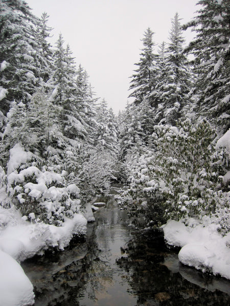
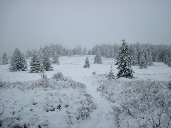
The top of the plateau is truly a wild place. Up here the trails were all essentially untracked, and I wouldn’t see another fresh (human) footprint until I descended the following day. Recent windy, wet weather plastered snow to the trees and rhododendron, and buried the trails around six inches deep, except where running water kept it clear.
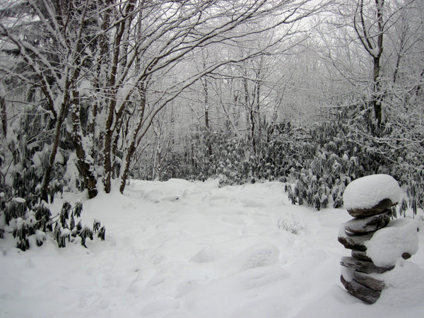
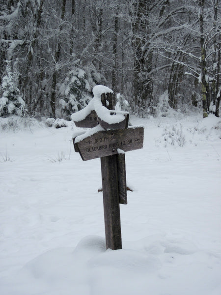
With the heavy snow weighing down the branches, the infrequent signs and the total lack of blazes, winter navigation is definitely a challenge in the Sods. Occasional cairns poked through the snow, but not enough to rely on. In addition, the cold weather quickly sapped the batteries in my electronics. A map, compass, and practice using them are indispensable up here in Dolly Sods; I relied on these tools frequently.
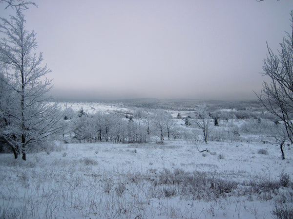
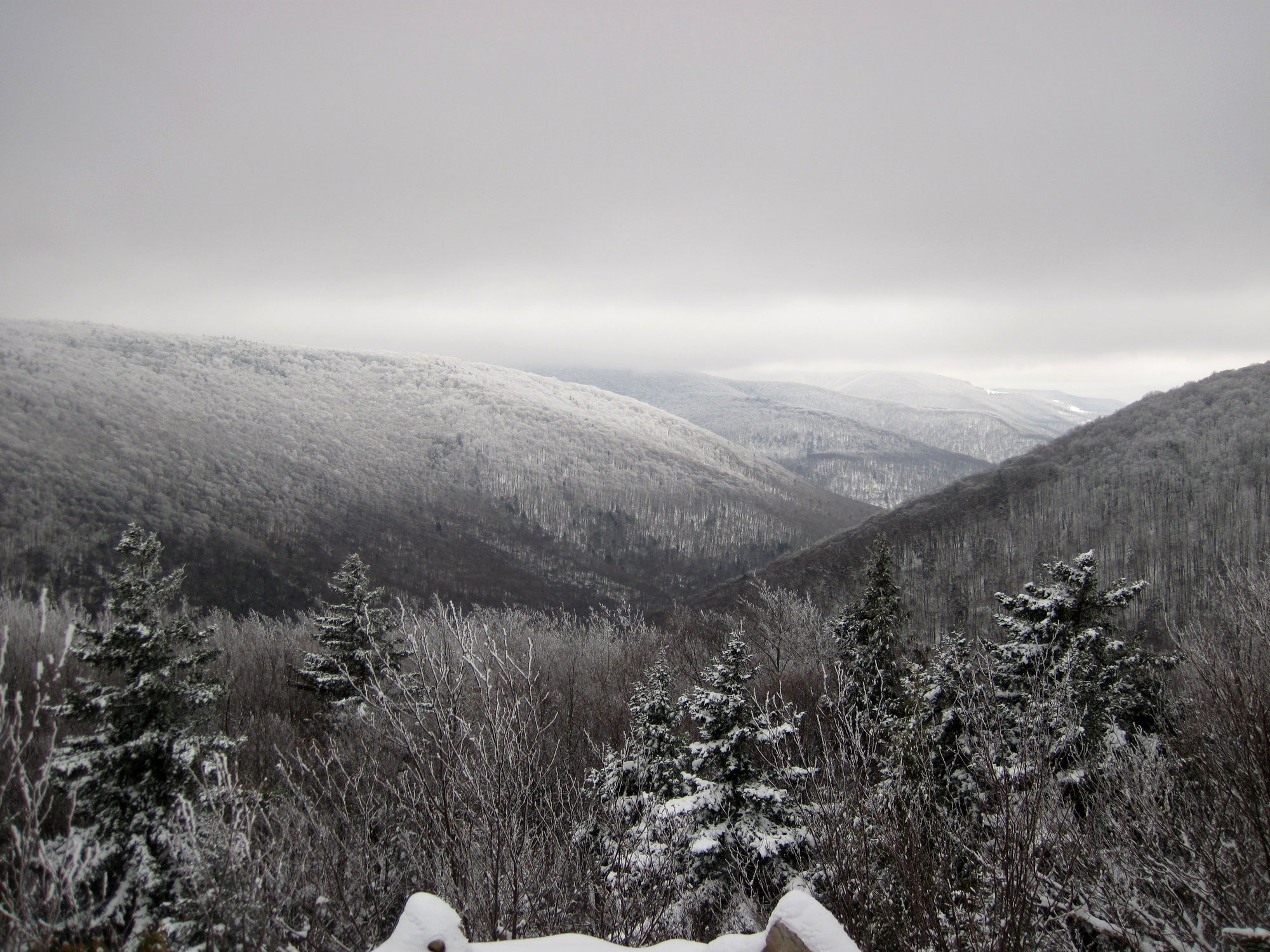
Dolly Sods is really an amazingly beautiful wilderness. Despite spending most of the trip in the clouds, the trail would occasionally open up to views over the snowy landscape.
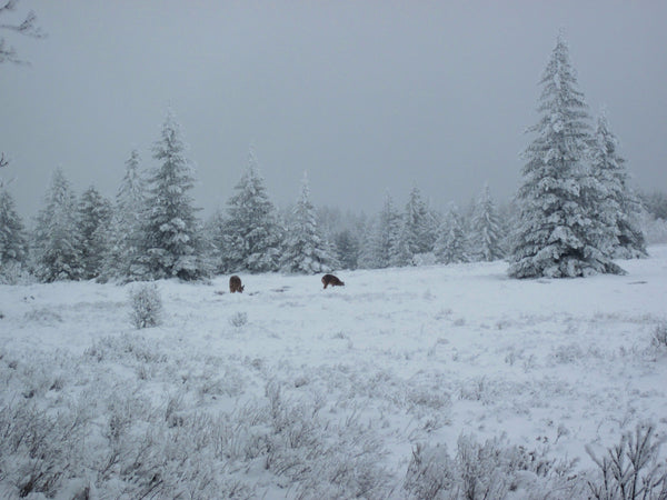
Deer, coyote, bobcat, and grouse left tracks everywhere, but I saw little besides a few deer. The whole area is also extremely wet right now. Under the snow was deep slushy mud or black ice, making walking slow. I foolishly left my snowshoes in the car, so the hidden pits and puddles left me stumbling and sliding. While I’d planned on a much longer day, I only managed around 14 miles the first day, and made camp at one of the many campsites scattered across the wilderness.
A Frozen Wilderness
Following a cold, breezy night, I put on my frozen shoes and headed out into the morning light for day two. After the previous day’s low mileage, and with heavy snow forecast for the next night, it became clear I’d have to cut back on my plans. While giving up on plans is never fun, it’s always a good idea to listen to those doubts, especially on solo trips. Consider Purple Lizard Maps take on this topic.
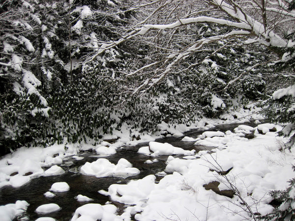
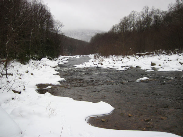
Anyways, the day still promised a good amount of hiking! From my campsite on Upper Red Creek Trail, I generally followed Red Creek back to the parking lot. The trail rolled through meadows and dark forests, with occasional views of the streams through the trees.
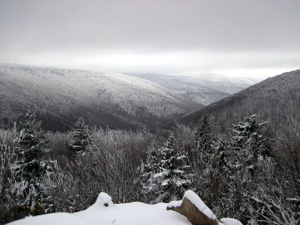
I took a detour to check out Lions Head (and extend my day), a rocky outcrop hanging above the southern end of Rocky Point Trail. This overlook is accessible by a steep scramble up a boulder fieldand offers a wide vista up and down the valley, and also climbs higher than I was willing to go alone in the snow.
Hiking Back To Red Creek Trail
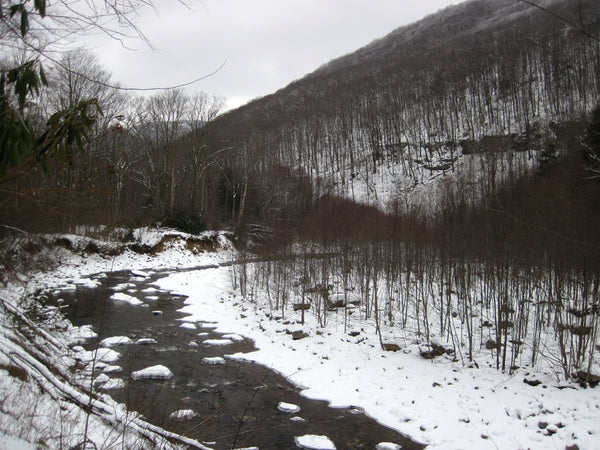
After a cold lunch here, I followed the trail as it dropped back down to the valley floor and crossed the deep and fast stream(remember this is without a bridge) one final time. Back on the easy lower Red Creek Trail, a short walk along the water took me back to the car, where dry socks and shoes, and a long drive through the slowly growing blizzard were waiting for me.
More Adventures in West Virginia

Make Your Own Adventure!

