Your Cart is Empty


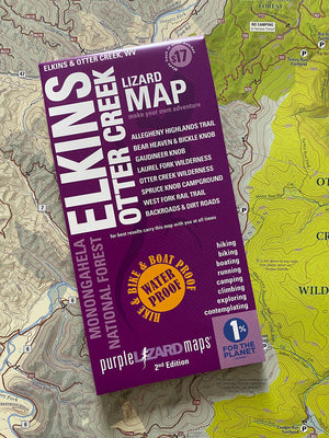
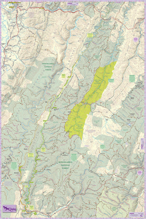

Elkins-Otter Creek Lizard Map: West Virginia
$17.00
A real map for people who love real-world experiences
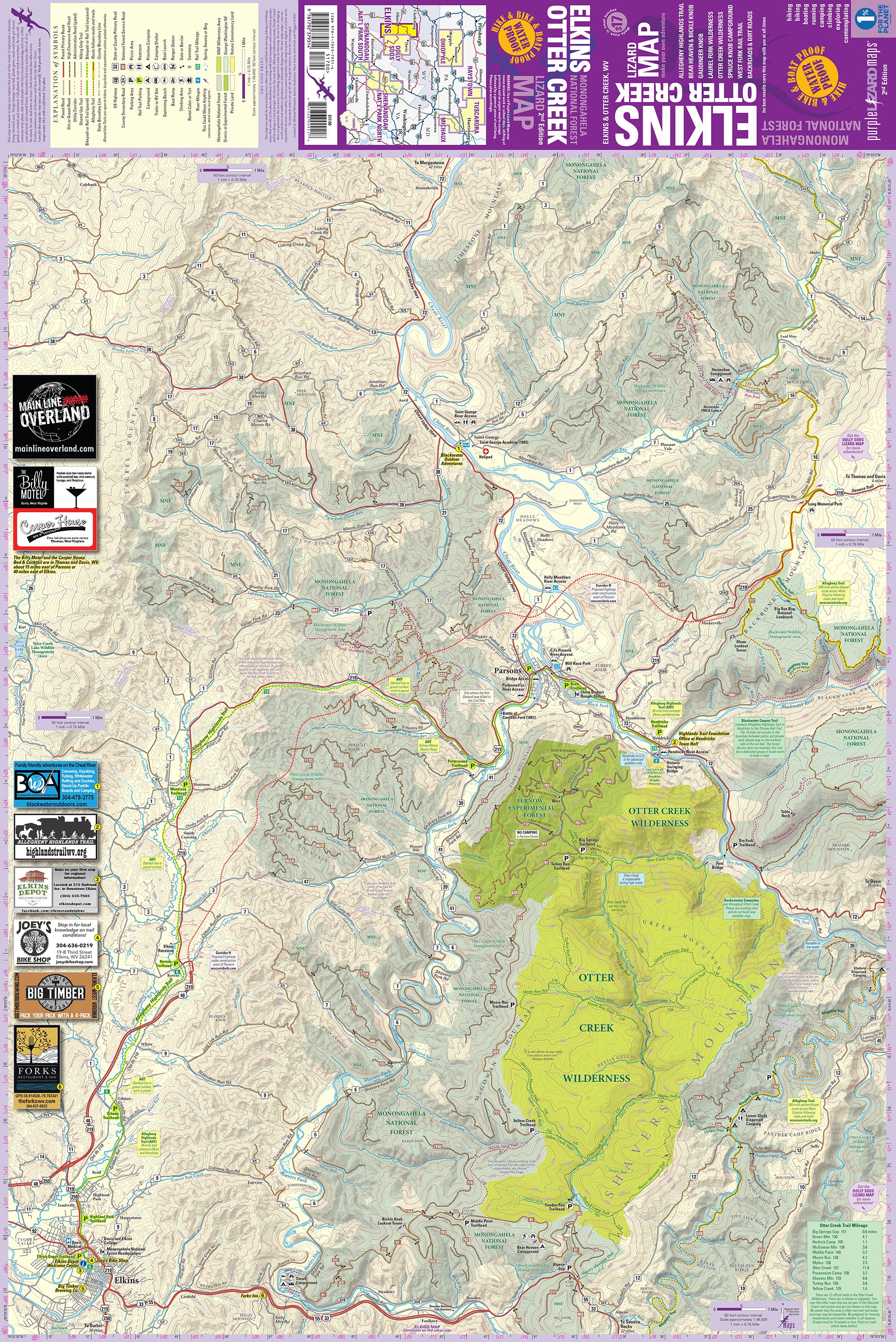
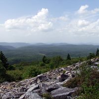
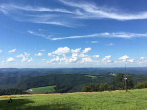
The Elkins-Otter Creek Lizard Map will help you plan all your adventures in and around the northwestern tier of Monongahela National Forest including the Otter Creek and Laurel Fork Wilderness.
"Your maps have been a huge help in my explorations of new nearby mountains. I especially like the fact that they show borders of state/national/private property and available parking as well as trails as this kind of info is somewhat difficult to find on current other available formats. I also love the quality of the paper." - Kendal in WV
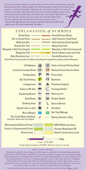
A beautifully designed, easy to read topographic map featuring contour lines, elevation data, shaded relief, and all the key details you need to plan your adventures: backroads and trails, trail use designations, road surfaces (paved/gravel/4wd), parking access, campsites, public lands, historic sites and more.
Lizard Maps are durable, waterproof, and give you the big picture – the map opens to 24” x 36” and folds easily to 4” x 8” to fit in your back pocket. The scale is 1:48,000 (1 inch = 0.75 mile). Includes both lat./long and UTM coordinate systems.
Second Edition, 2022 ISBN 978-1-7923-7931-4
"We are volunteers at a wilderness area. Many people don't know what to expect and are less than fully prepared and many come without a paper map! We hand out a free basic USFS map but we ALWAYS personally recommend they get a Lizard! Your maps are the best!" - Chris in WV
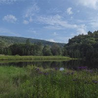
Public land: the northwestern tier of Monongahela National Forest, Fernow Experimental Forest, Otter Creek Wilderness, Laurel Fork North and South Wilderness and a section of George Washington National Forest.
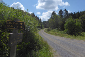
Destinations: Gandy Creek Dispersed Camping Area, Johnny Meadows Camping Area, Spruce Knob Campground, Sinks of Gandy, Middle Mountain Cabins, Gaudineer Scenic Area, Fort Cheat Historic Site, Stuart Campground, Stone Coal Dispersed Camping, Little River Dispersed Camping, Locust Springs Recreation Area, Bear Heaven and Bickle Knob Observation Tower.
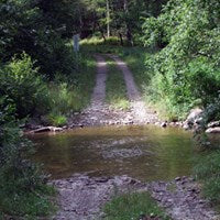
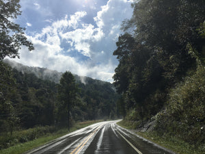
Roads: all Lizard Maps show which roads are paved, dirt/gravel or 4wd roads as well as which are gated. Perfect for bicyclists, dual sport riders and overlanders looking to put together a remote backcountry route across public lands.
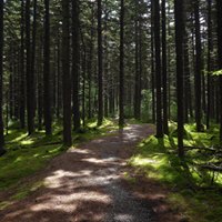
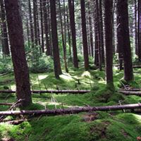
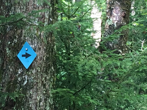
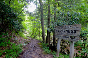
Major hiking trails: designated hiking trails in the Otter Creek Wilderness, Laurel Fork North and South Wilderness, East Fork Trail and sections of the 300-mile Allegheny Trail.
Major biking trails: Blackwater Canyon Trail and Allegheny Highlands Trail, a 25-mile rail trail connecting Elkins and Parson, WV, and the rustic West Fork Mountain Bike Rail Trail, a 25-mile mildly improved rail trail between Glady and Durbin, WV.
Even more trails: Lizard Maps highlight and designate public trails and paths including hiking, biking, equestrian, skiing and rail trails managed by federal, state and local authorities, including sections of the 300-mile Allegheny Trail.
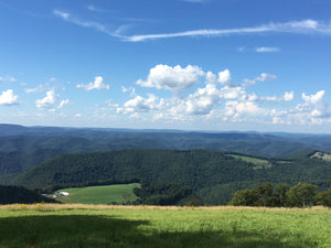
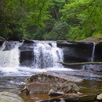
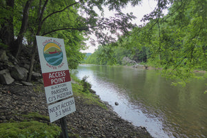
Points of interest: campgrounds, picnic areas, river access, boat launches, primitive car camping sites, scenic overlooks, observation towers, waterfalls and lizard spots.
Rivers: the Cheat River at Parsons, WV, Dry Fork of the Cheat River, and Shavers Fork.
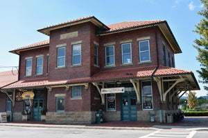
Towns: Beverly, Durbin, Elkins, Parsons, Saint George, WV.
Lizards! The little purple Lizards you’ll find scattered on the map signify an interesting spot to check out. The Legend says “This Could Mean Anything: cool place, sweet view, local legend”.
Ready for more West Virginia Adventure?
More WV adventure is right next door to the Elkins - Otter Creek Map. Grab the Dolly Sods-Seneca Rocks map and start planing today.
Want a taste of what you can expect on the Elkins and Dolly Sods Lizard maps?
Check out the WV Lizard Adventure Blogs
All Purple Lizard maps are available flat (rolled up, unfolded) suitable for framing in a corporate lobby or just nailing to a cabin wall. The map cost is the same ($17) but shipping varies. E-mail info@purplelizard.com for specifics.
Shipping Privacy and Return Policies
We are a proud member of 1% For The Planet.

Product Type : Maps