Your Cart is Empty
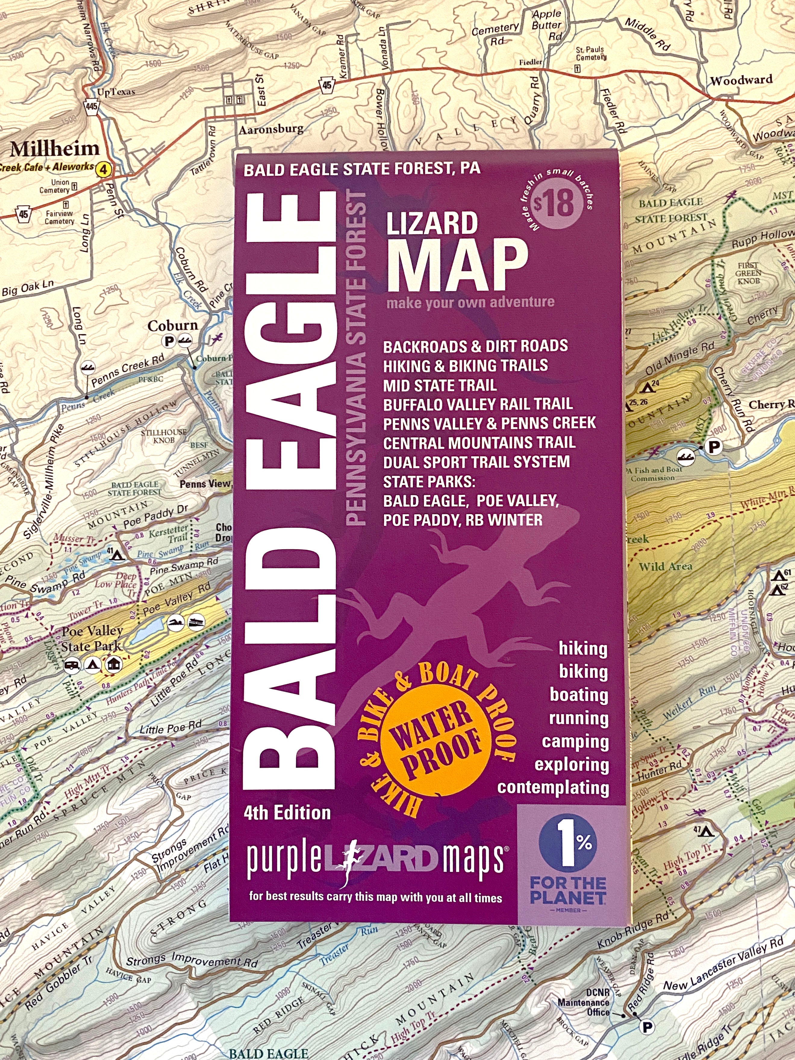
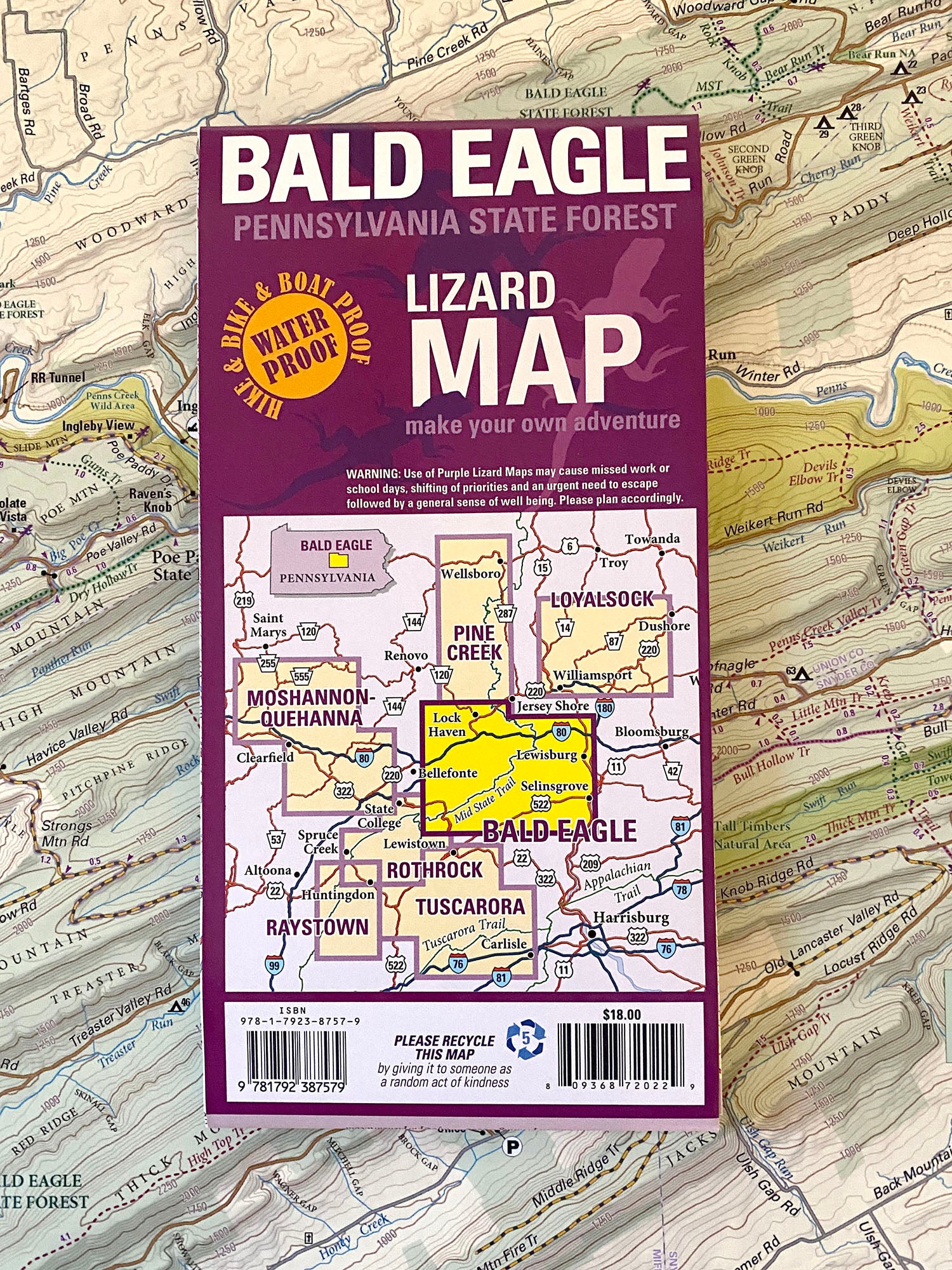
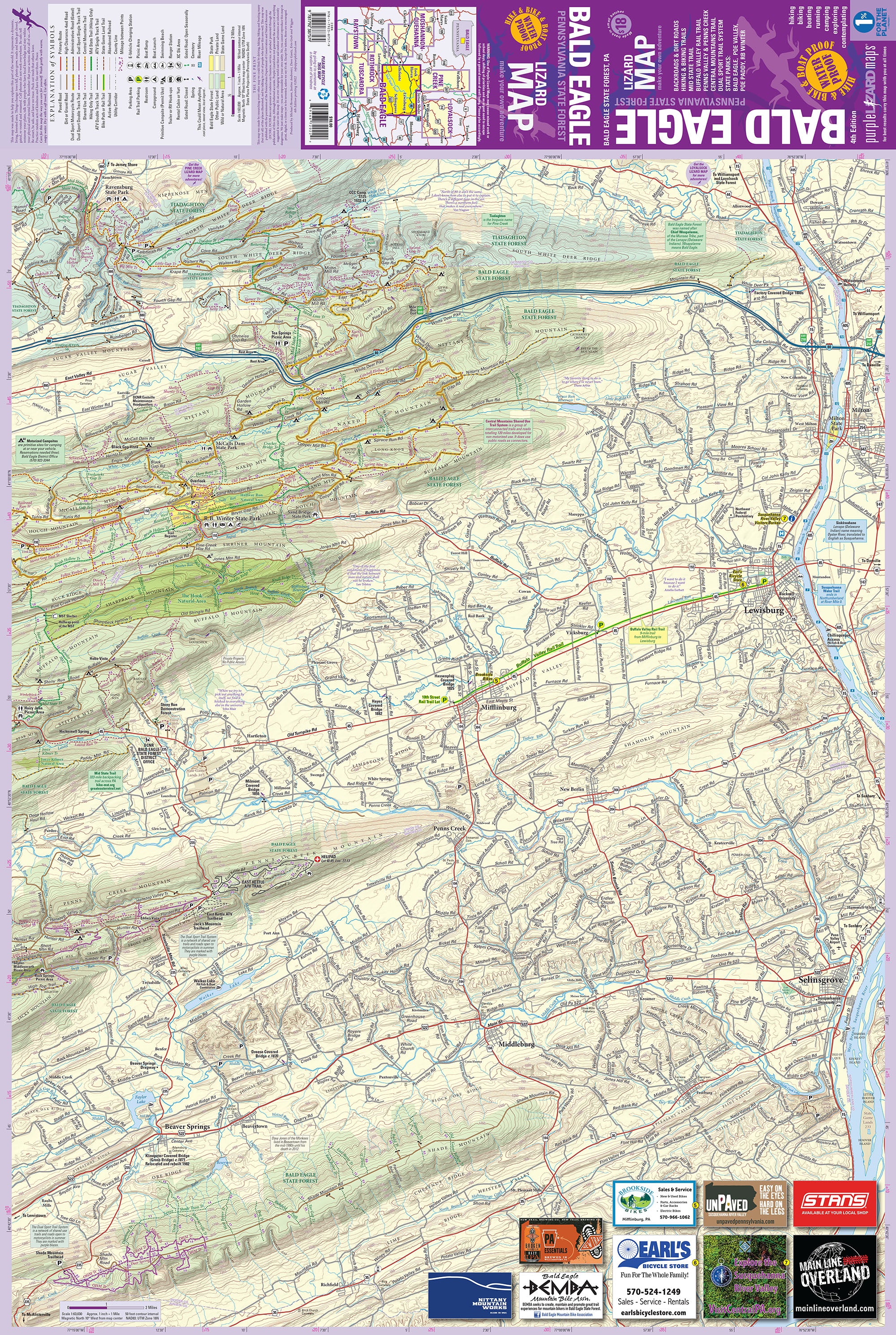


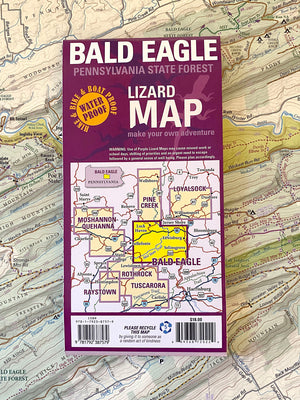


Bald Eagle Lizard Map, Pennsylvania
$18.00
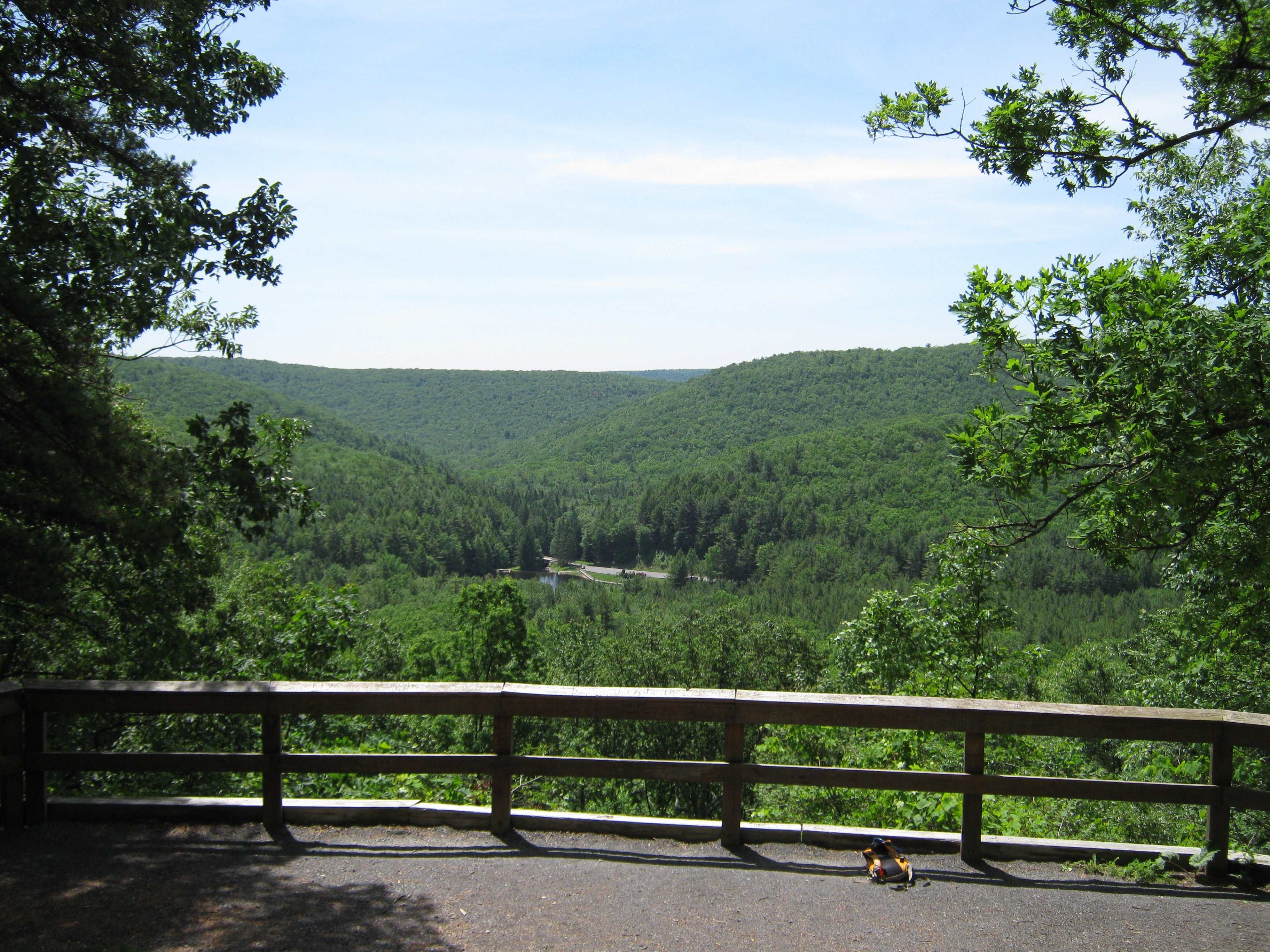
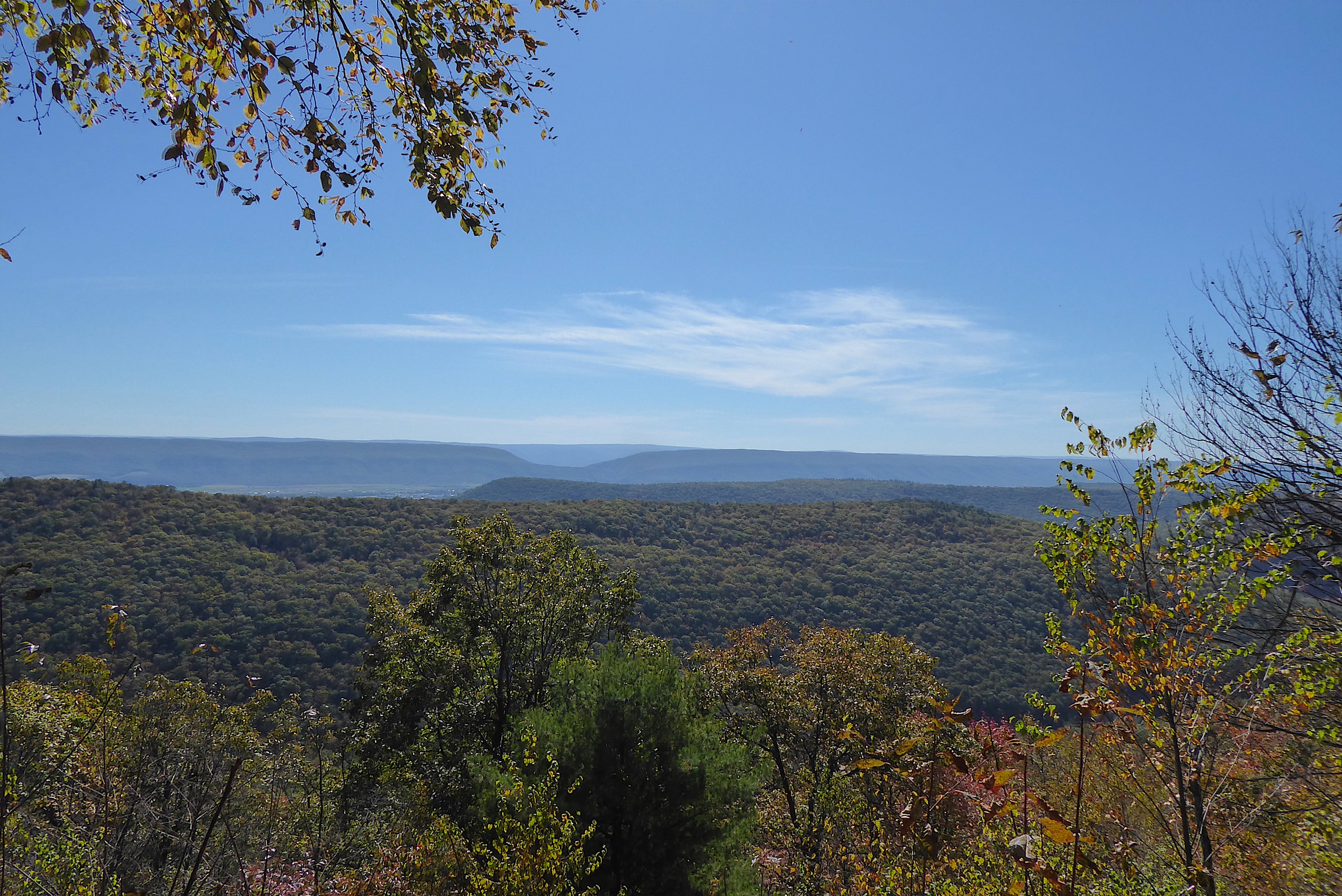
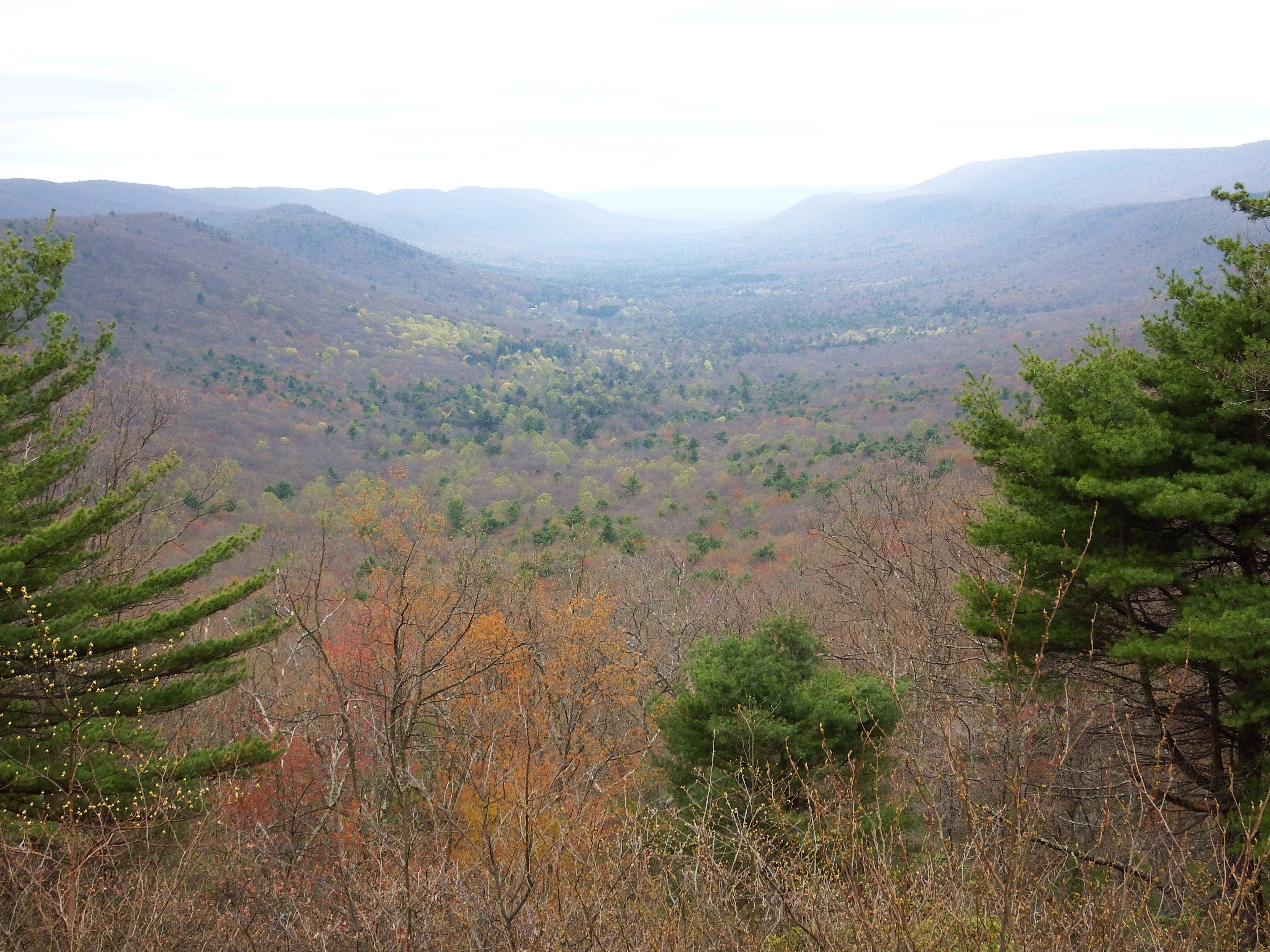
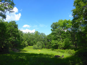
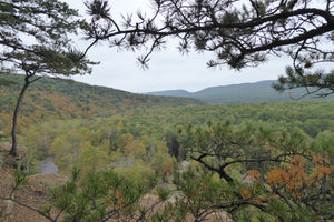
The Bald Eagle Lizard Map will help you plan all your adventures in and around Bald Eagle State Forest - a true jewel for outdoor recreation in the heart of the Central Pennsylvania mountains with over 200,000 acres of state forest to explore!
"I plan to take my son to Bald Eagle State Forest next summer and get him into the woods as young as I can. He will be 3 in August. Your maps will help me with my goal of passing my love of the outdoors to the next generation." — David in PA
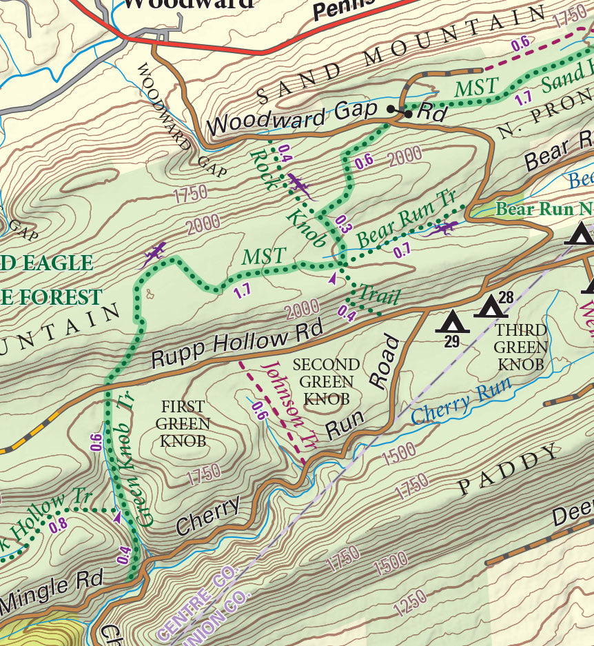
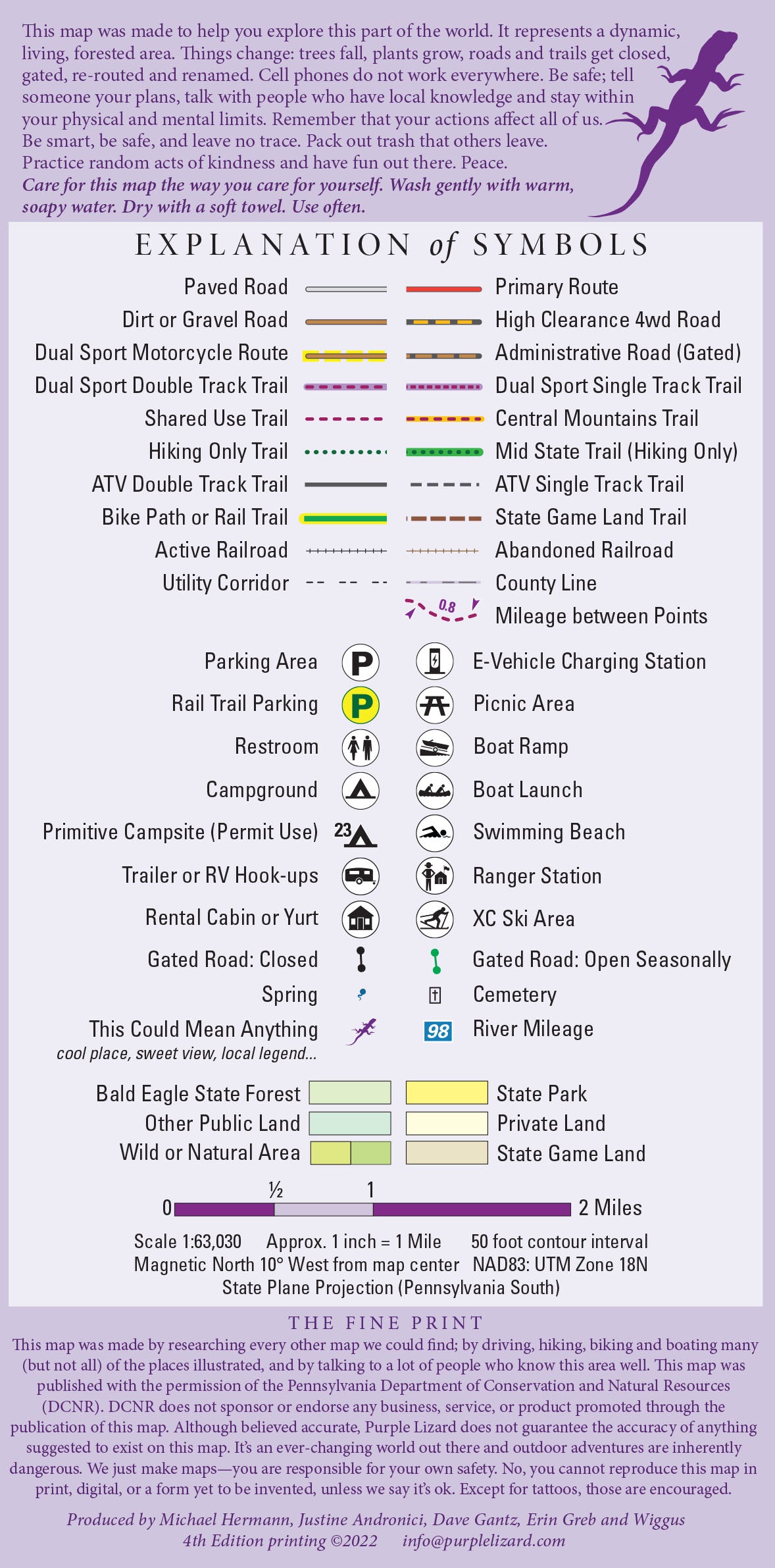
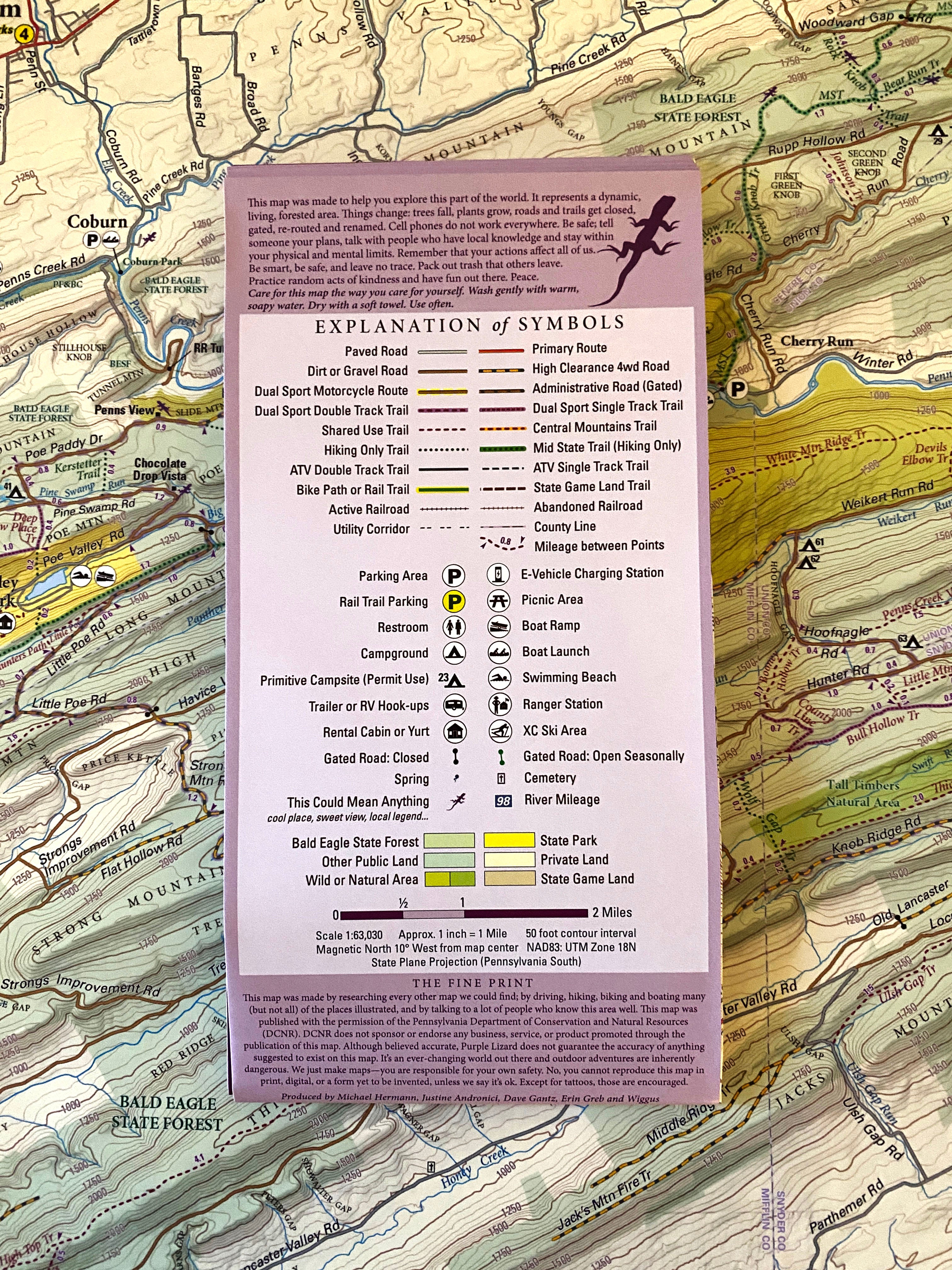
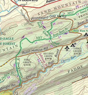
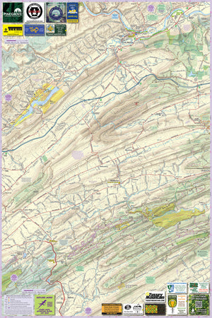
A beautifully designed, easy to read topographic map featuring contour lines, elevation data, shaded relief, and all the key details you need to plan your adventures: backroads and trails, trail use designations, road surfaces (paved/gravel/4wd), parking access, campsites, public lands, historic sites and more.
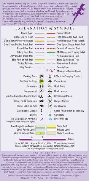
Lizard Maps are durable, waterproof, and give you the big picture – the map opens to 24” x 36” and folds easily to 4” x 8” to fit in your back pocket. The scale is 1:63,030 (1 inch = 1 mile). Includes both lat/lon and UTM coordinate systems.

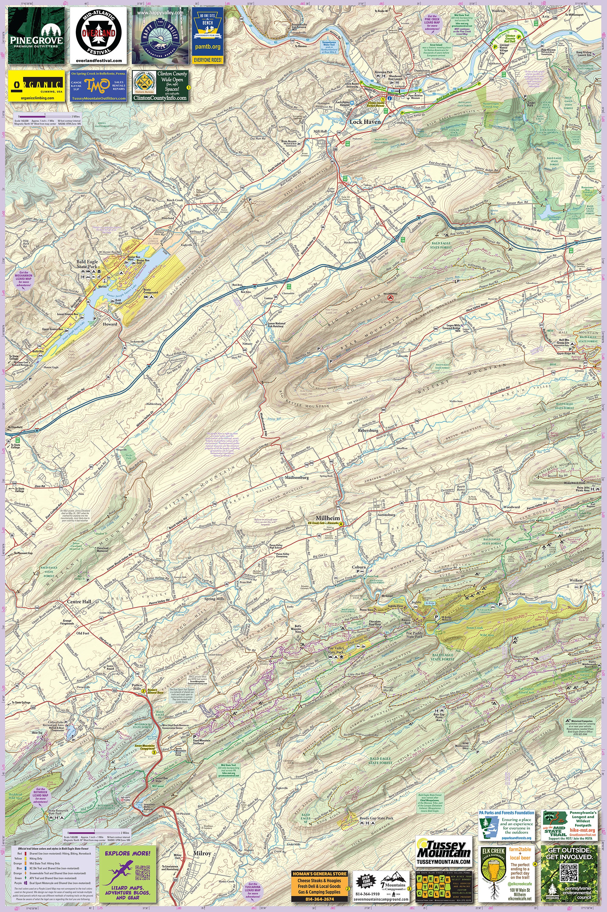
Public land: over 195,000 acres of Bald Eagle State Forest, parts of Rothrock and Tiadaghton State Forests, as well as Poe Valley, Poe Paddy, Reeds Gap, RB Winter, Ravensburg, Milton, Sand Bridge, McCall Dam and Bald Eagle State Parks, and parts of State Game Lands 295, 317, 323, 255.
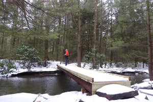
Destinations: include fly fishing on White Deer Creek and Penn's Creek, the Poe Valley and Poe Paddy State Parks, and countless hiking and biking trails in this very remote part of the Pennsylvania mountains.
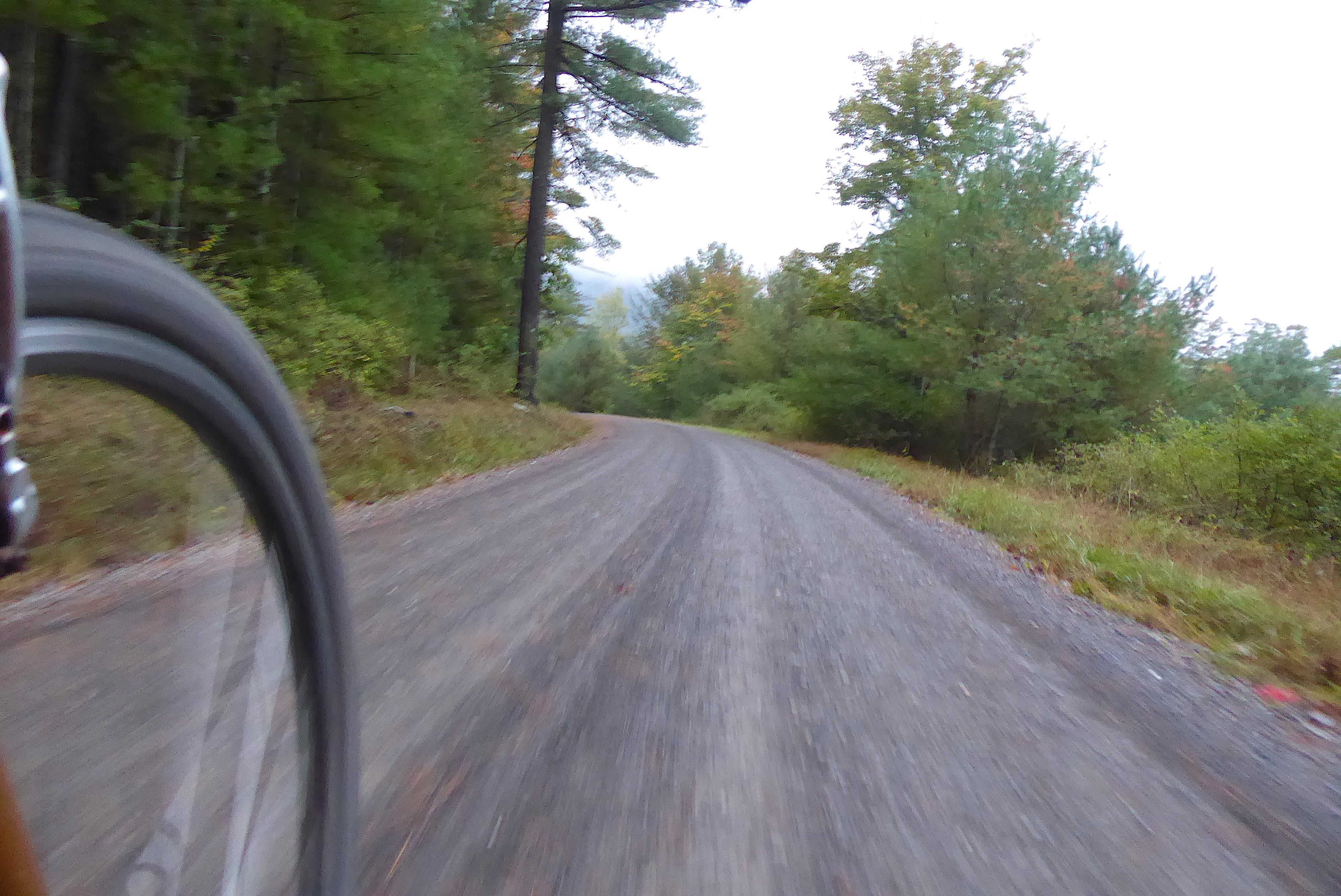
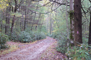
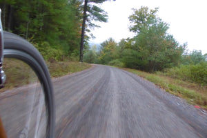
Roads: all Lizard Maps show which roads are paved, dirt/gravel or 4wd roads as well as which are gated. Perfect for bicyclists, dual sport riders and overlanders looking to put together a remote backcountry route across public lands.
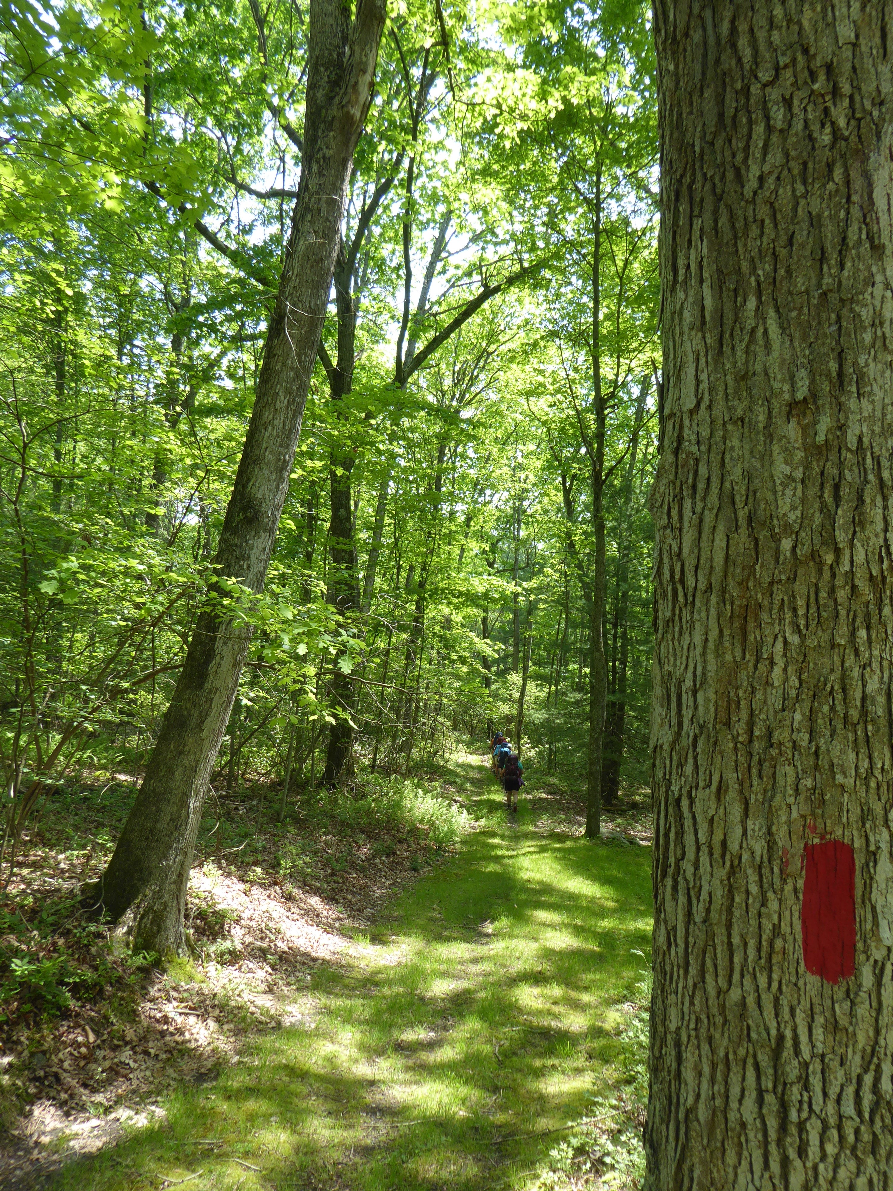
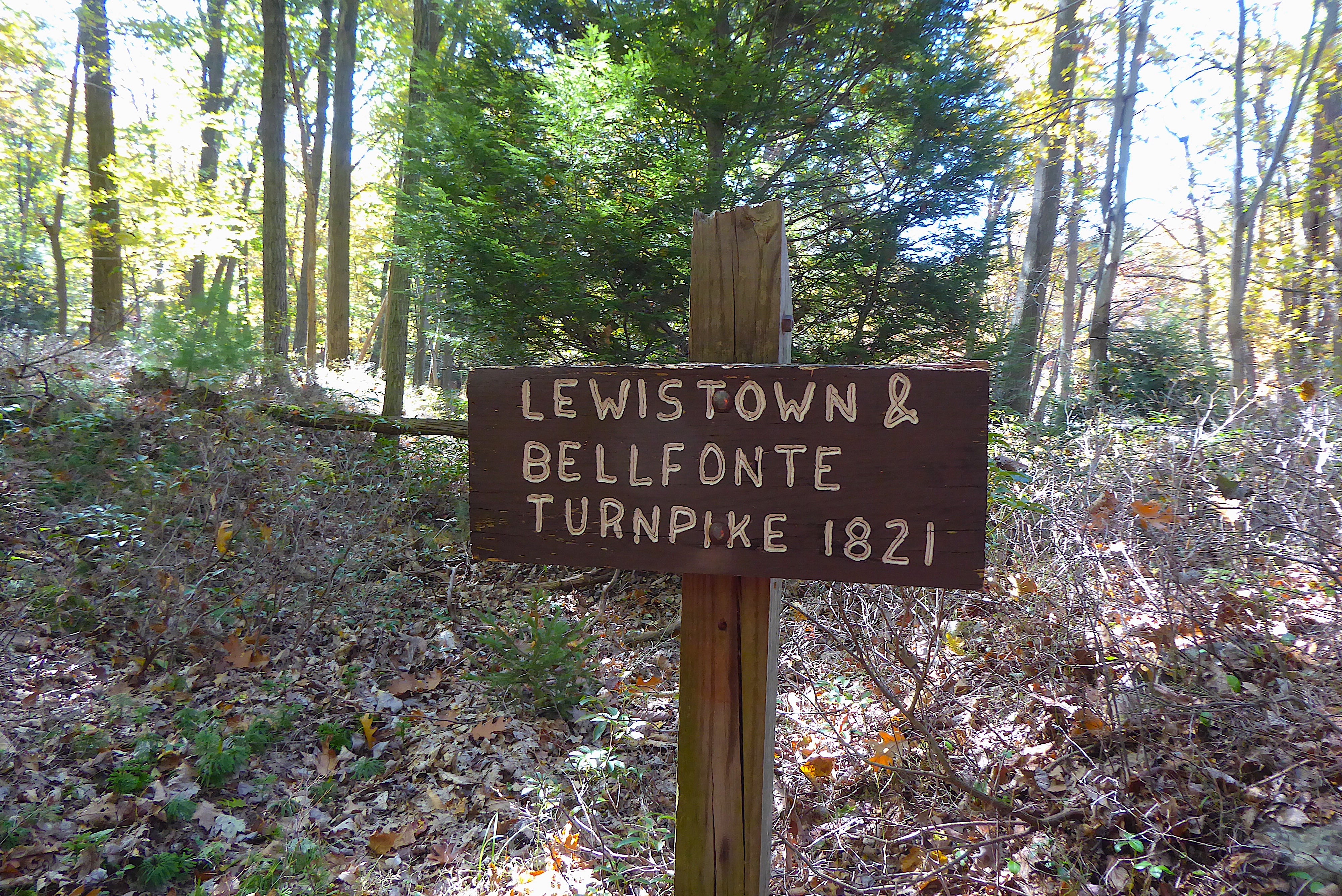
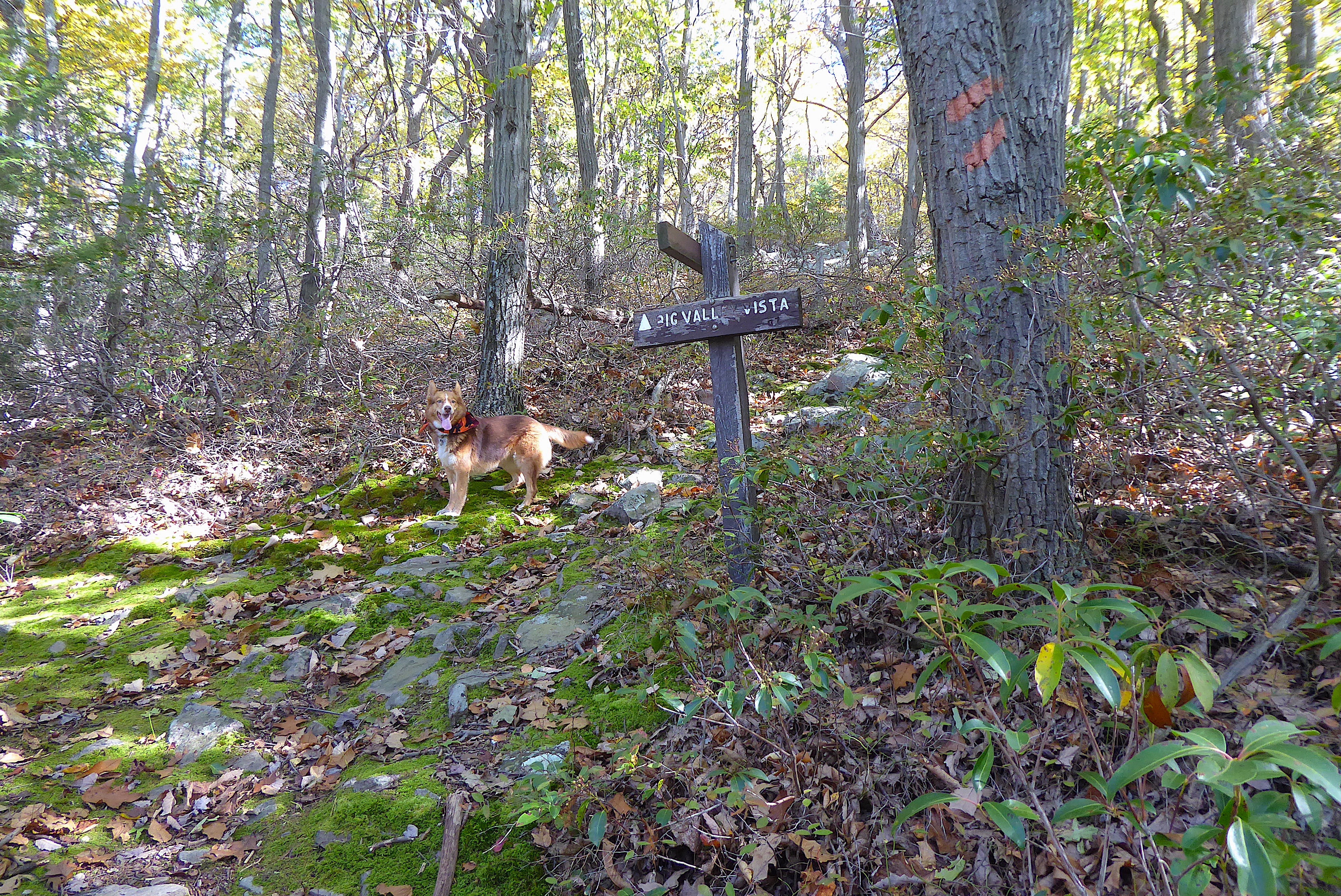
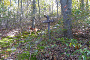
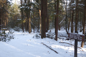
Major hiking trails: the Bald Eagle SF section of the 323-mile Mid State Trail (MST) shown from Woolrich, PA to the MST Tunnel under Route 322 at Seven Mountains. The MST continues on both the Purple Lizard Rothrock and Pine Creek Lizard Maps.
Major biking trails: Bald Eagle has a tremendous amount of mountain bike trails which is one reason it has been the location for the Wilderness 101 and Trans-Sylvania Epic Stage Race for many years. The Central Mountains Trail System is a network of shared use trails in the RB Winter State Park area. The Buffalo Valley Rail Trail is a 9-mile path between the towns of Lewisburg and Mifflinburg. The very popular unPAved gravel bike event is held entirely on this map.
Even more trails: Lizard Maps highlight and designate public trails and paths including hiking, biking, equestrian, skiing, snowmobiling and rail trails managed by federal, state and local authorities. For paddlers, the Susquehanna River Trail is shown from mile 3 to mile 19 on the West Branch at Lewisburg, PA. The Seven Mountains Dual Sport Trail is included, which is open seasonally for licensed motorcycles, along with the Shade Mountain Off Highway Motorcycle Trail (OHM) which is open seasonally for off road motorcycles. The East Kettle ATV Trail at Jack’s Mountain is shown.
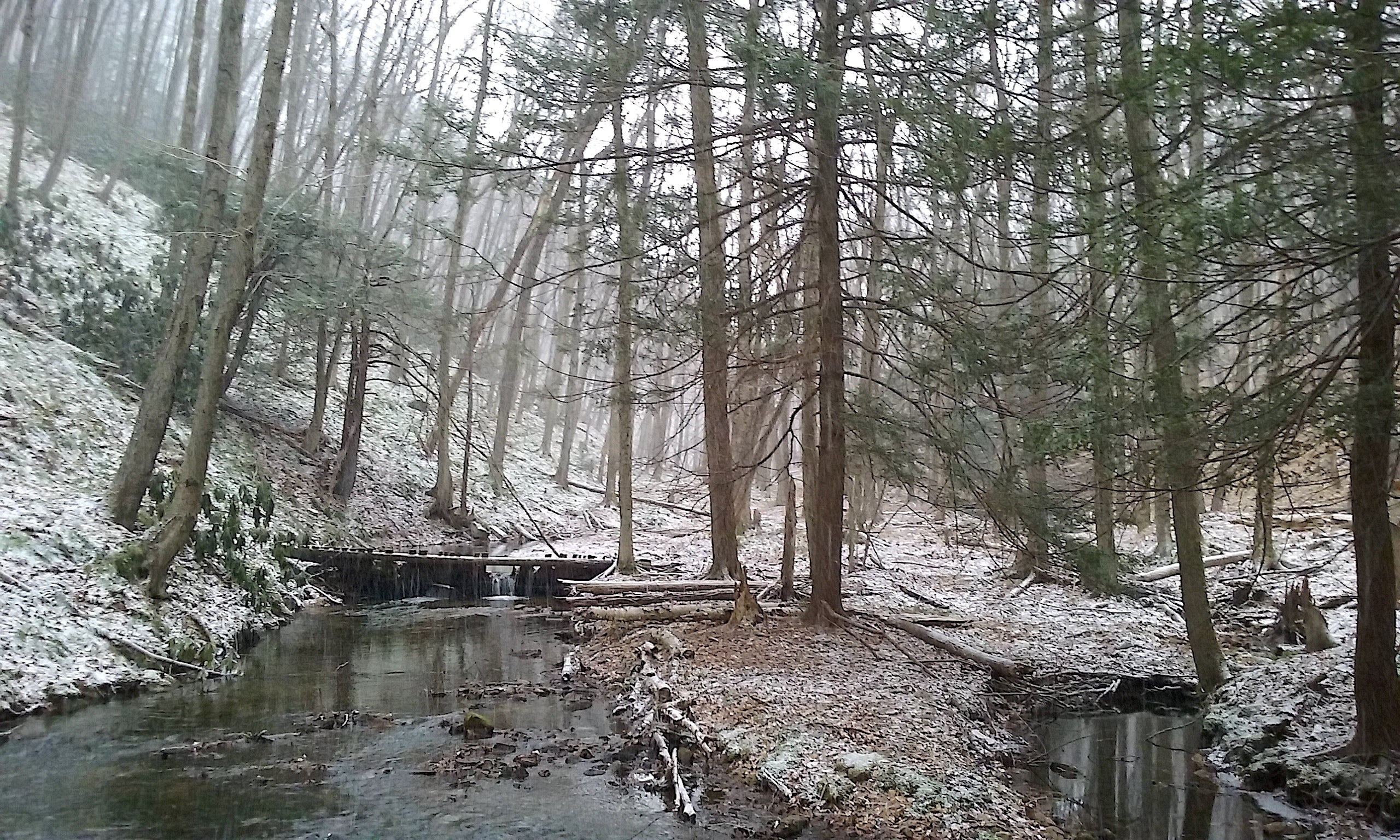
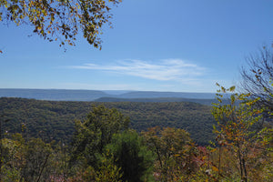
Points of interest: campgrounds, picnic areas, climbing areas, over 60 numbered, reservable car camping sites, scenic overlooks, observation towers and lizard spots.
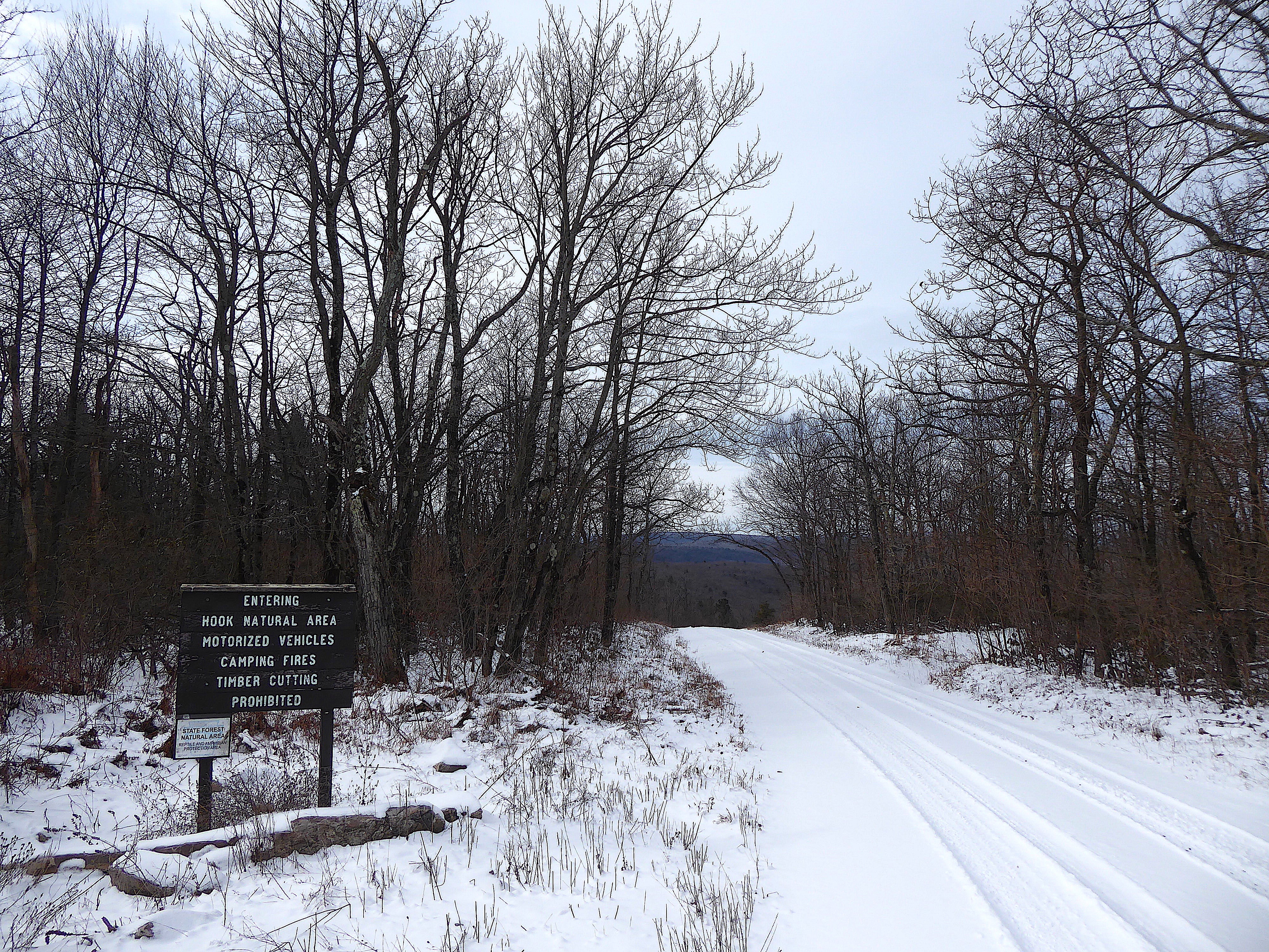
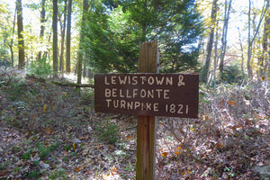
Natural Areas and special designated areas: the Penn's Creek Wild Area, Tall Timbers Natural Area, Snyder Middleswarth Natural Area, Rosecrans Bog Natural Area, Halfway Run Natural Area, The Hook Natural Area, Walker Lake and Lock Haven City Authority land.
Towns: Avis, Beaver Springs, Centre Hall, Howard, Lewisburg, Lock Haven, Madisonburg, Middleburg, Mifflinburg, Millheim, Milroy, Milton, New Berlin, Penn's Creek, Rebersburg, Selinsgrove, Spring Mills, and Potters Mills, PA.
Lizards! The little purple Lizards you’ll find scattered on the map signify an interesting spot to check out. The Legend says “This Could Mean Anything: cool place, sweet view, local legend”.
Bald Eagle State Forest and the surrounding area is one of the best outdoor recreation playgrounds in the state. Get the Lizard Map and make your own adventure in Bald Eagle.
Love Bald Eagle State Forest?
Check out these Adventure Blogs
You'll also want to check out the adjacent Rothrock State Forest Lizard Map
Looking for this Lizard Map in an app? Head to Avenza!
![]()
Health warning: continued use of these maps may result in an inability to stay indoors and a sudden criticism of traffic. Your skin may become covered with dust and dirt. Mild confusion will make it difficult to relate time and distance, which may alter your definition of weather. There is a potential for all of these side effects to occur simultaneously and without warning. That's why we are warning you now.
Shipping Privacy and Return Policies
We are a proud member of 1% For The Planet.

Product Type : Maps