Your Cart is Empty


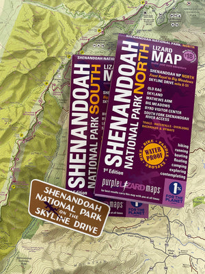


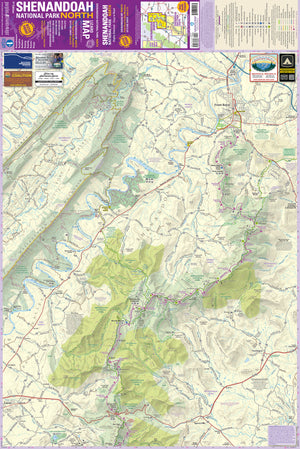

Shenandoah National Park Lizard Maps, Virginia
$36.00
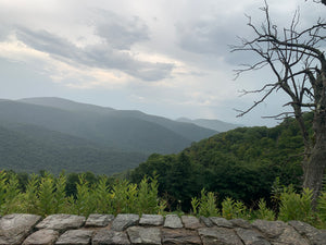
Outstanding Shenandoah Adventure Starts Here
You won't miss a thing when you explore Shenandoah with Purple Lizard Maps. Perfect for road trippers,hikers, backpackers, carcampers, day trippers and wanderers!
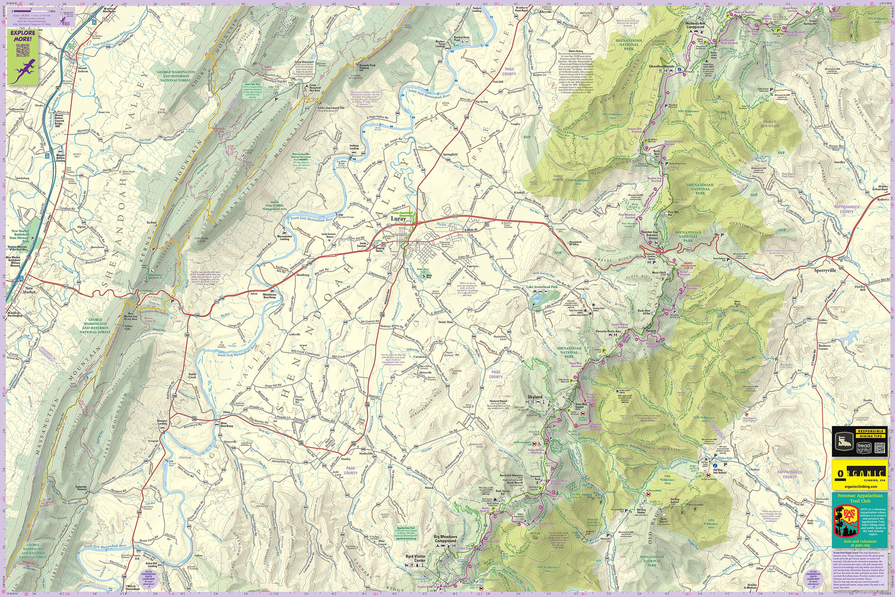
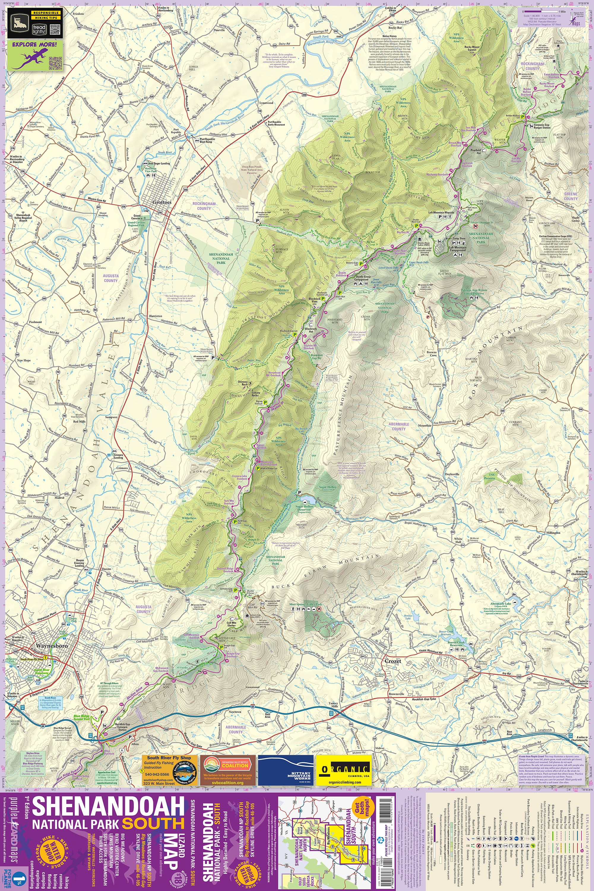
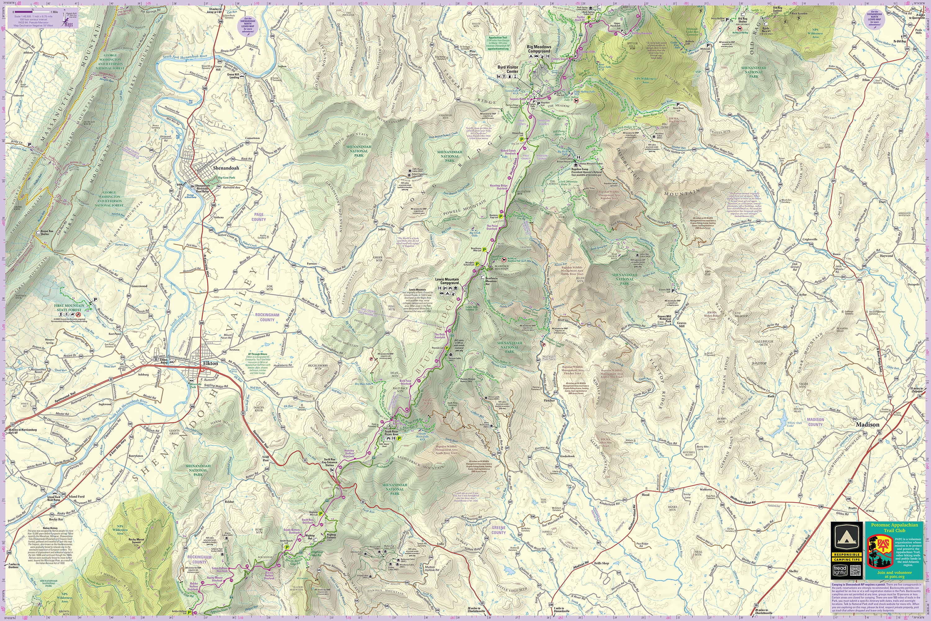
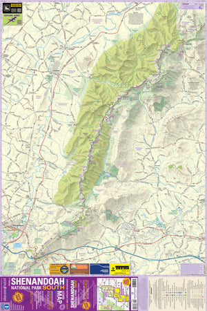
These are the most comprehensive, detailed, high quality, easy to read topographic maps available of this stunning landscape. Covering Shenandoah National Park from Front Royal to Waynesboro and Crozet, including all the hiking trails in the National Park, South Fork Shenandoah River, Page Valley and Shenandoah Valley.
This area is far too big and has way too many fantastic outdoor recreation choices to do it justice with one map - we designed two maps at a detailed scale so you can make your best adventures.
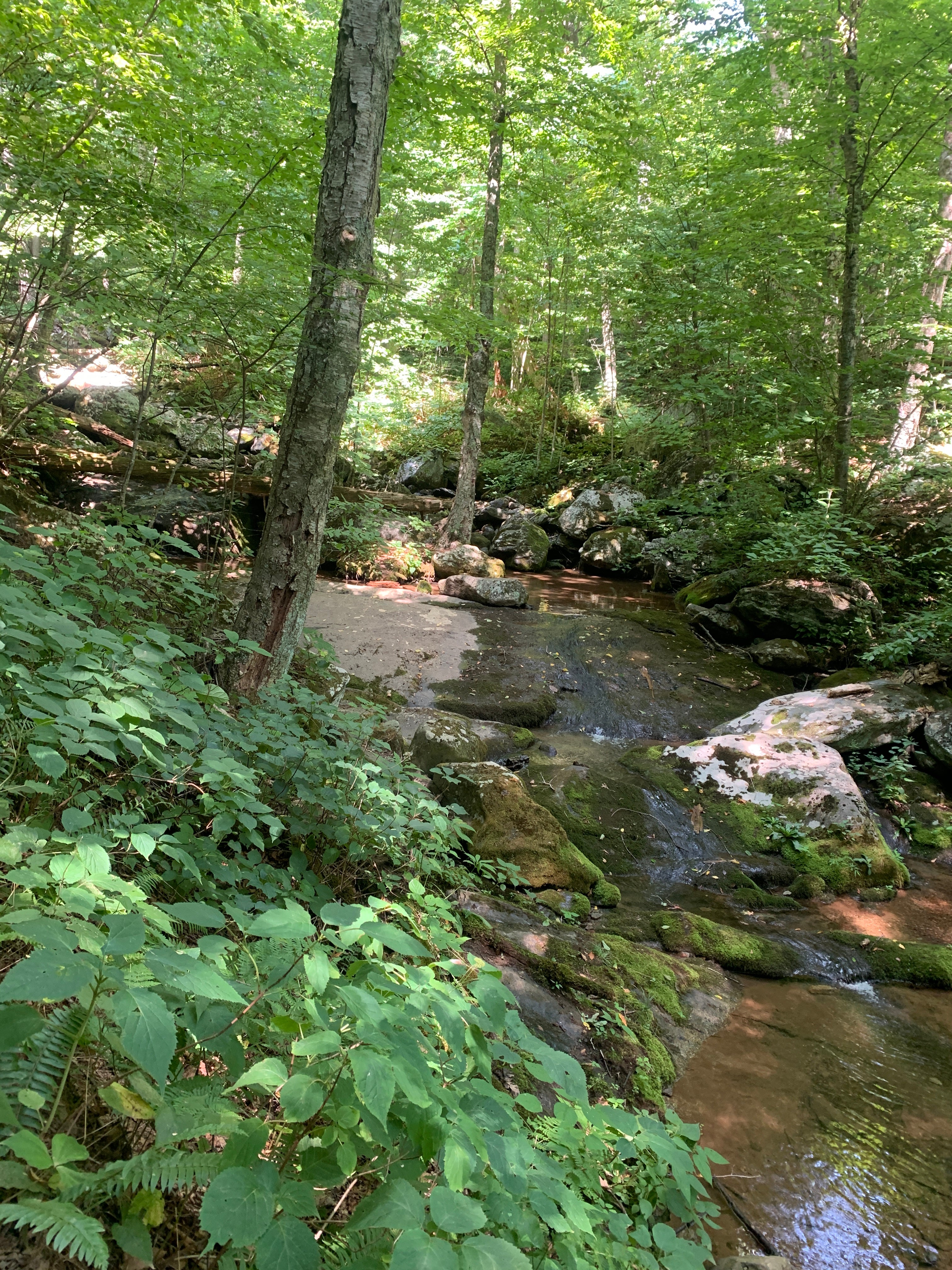
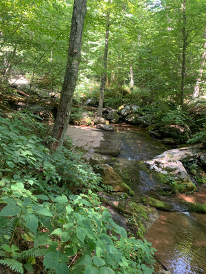
We spent weeks in and around Shenandoah Valley and the National Park researching, field checking, hiking, driving and constantly refining the design to bring you an amazing set of maps to unlock this magnificent landscape. The Shenandoah Lizard maps will show you Shenandoah's backroads, trails, vistas, waterfalls and special spots.
-
Shenandoah Valley from Front Royal to Waynesboro and Crozet
-
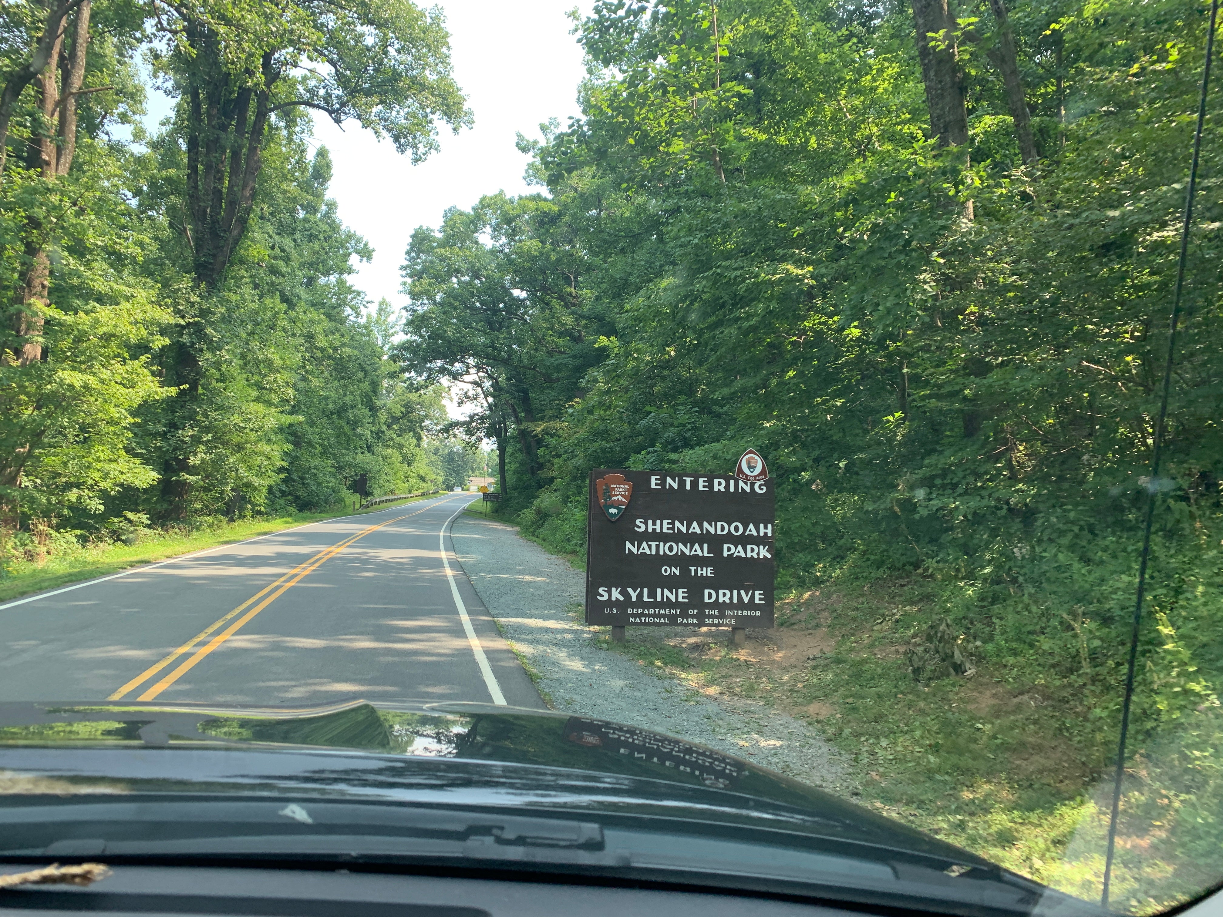
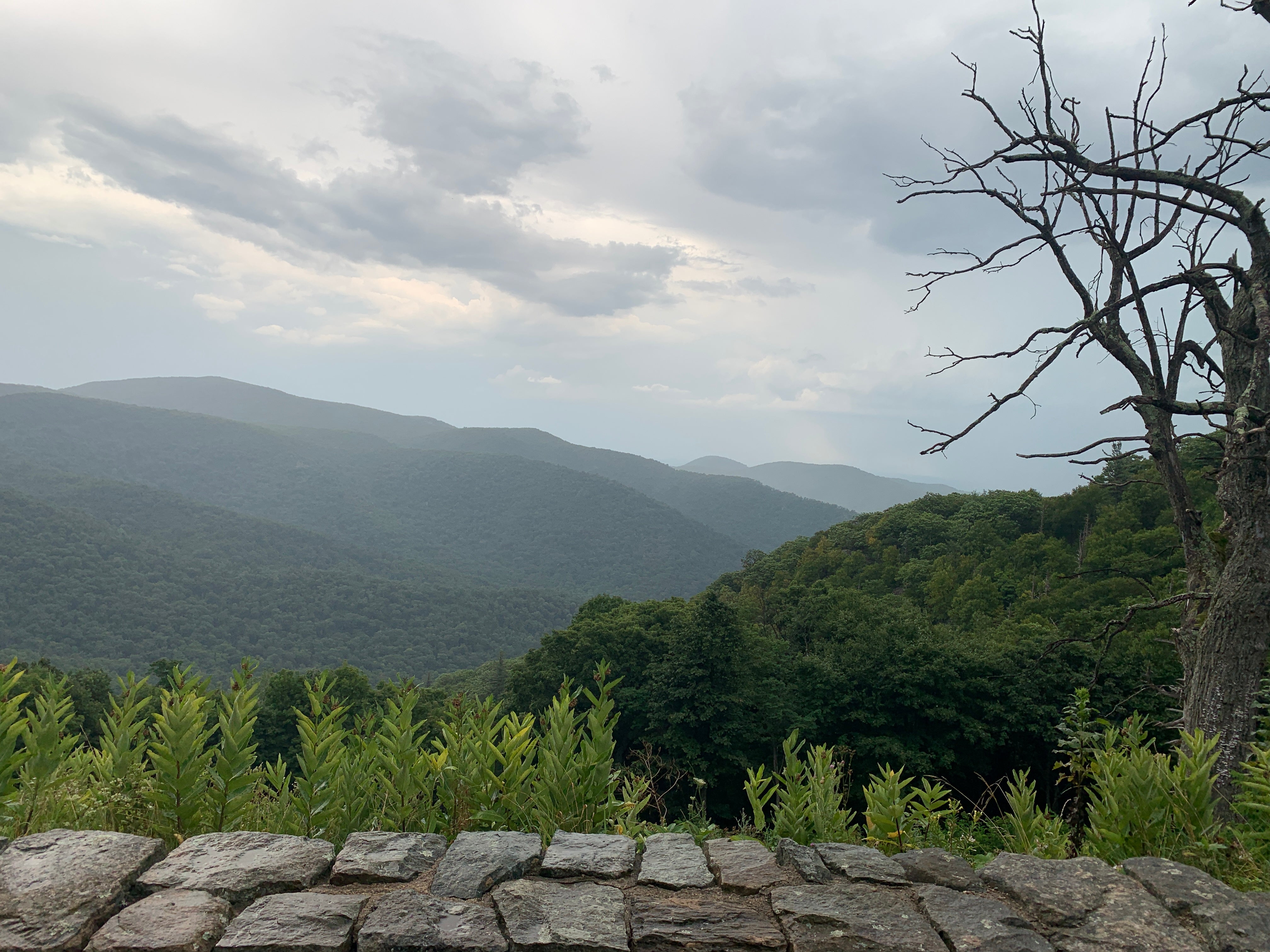
All 105 miles of Skyline Drive and the overlooks
-
The Appalachian Trail and PATC Shelters
-
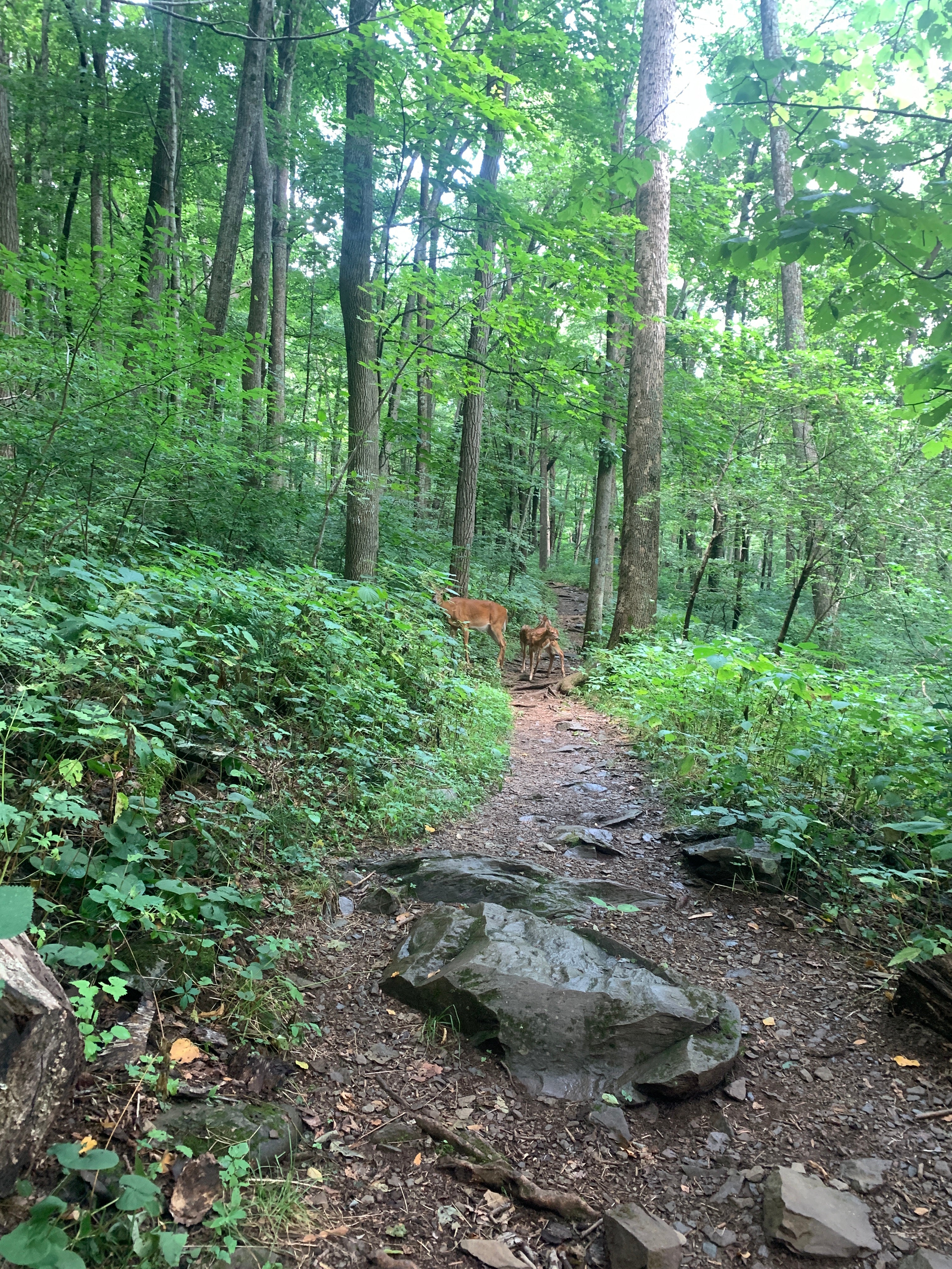
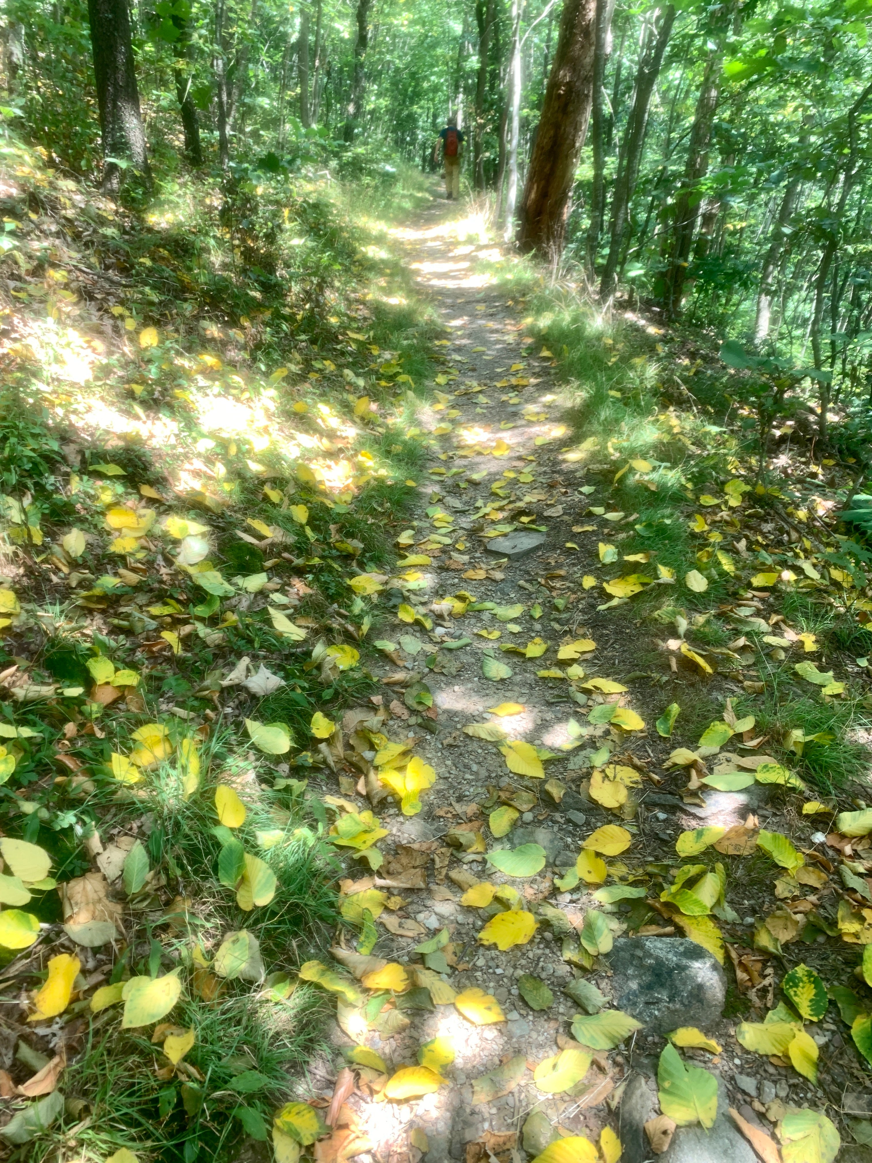
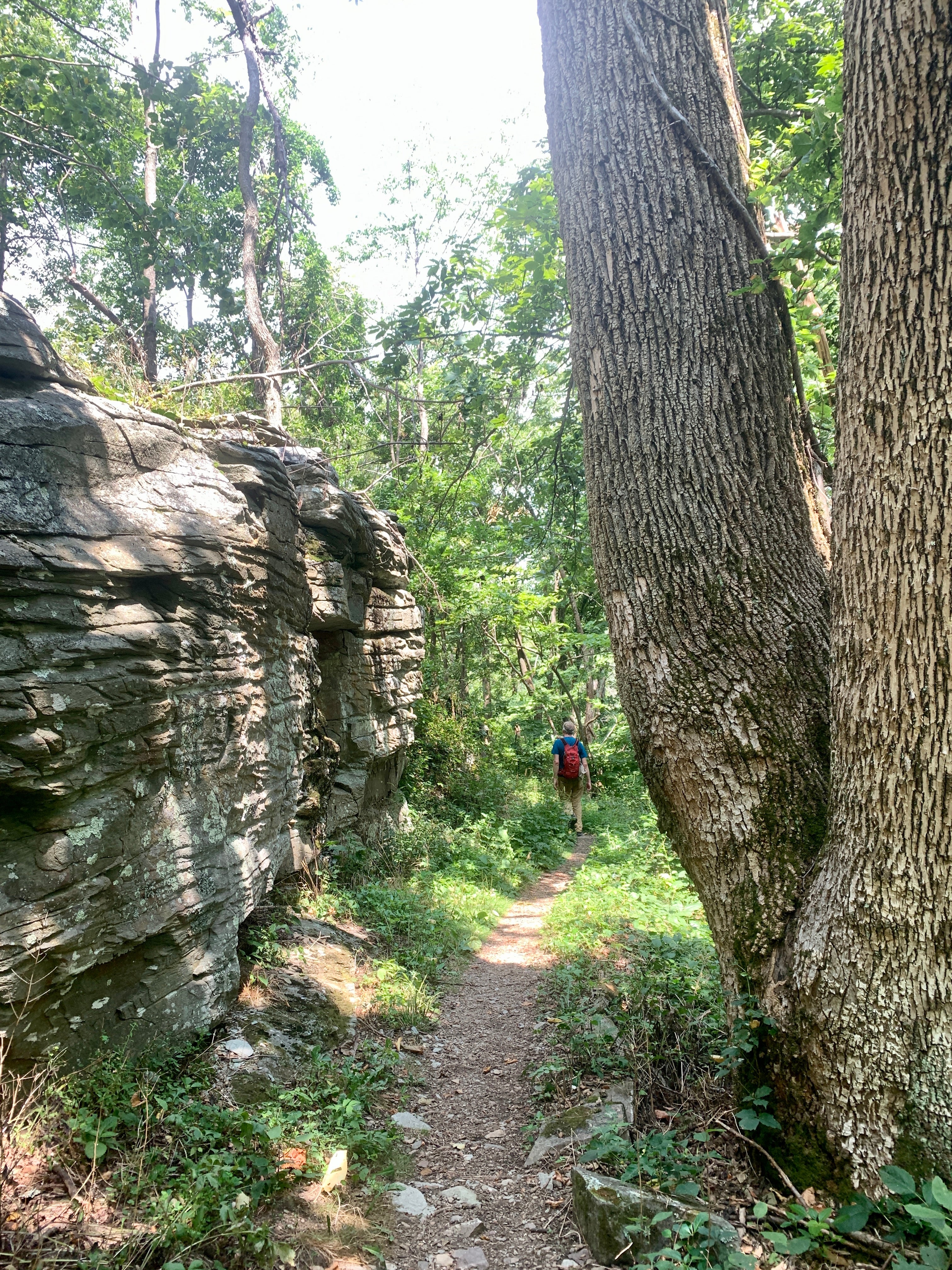
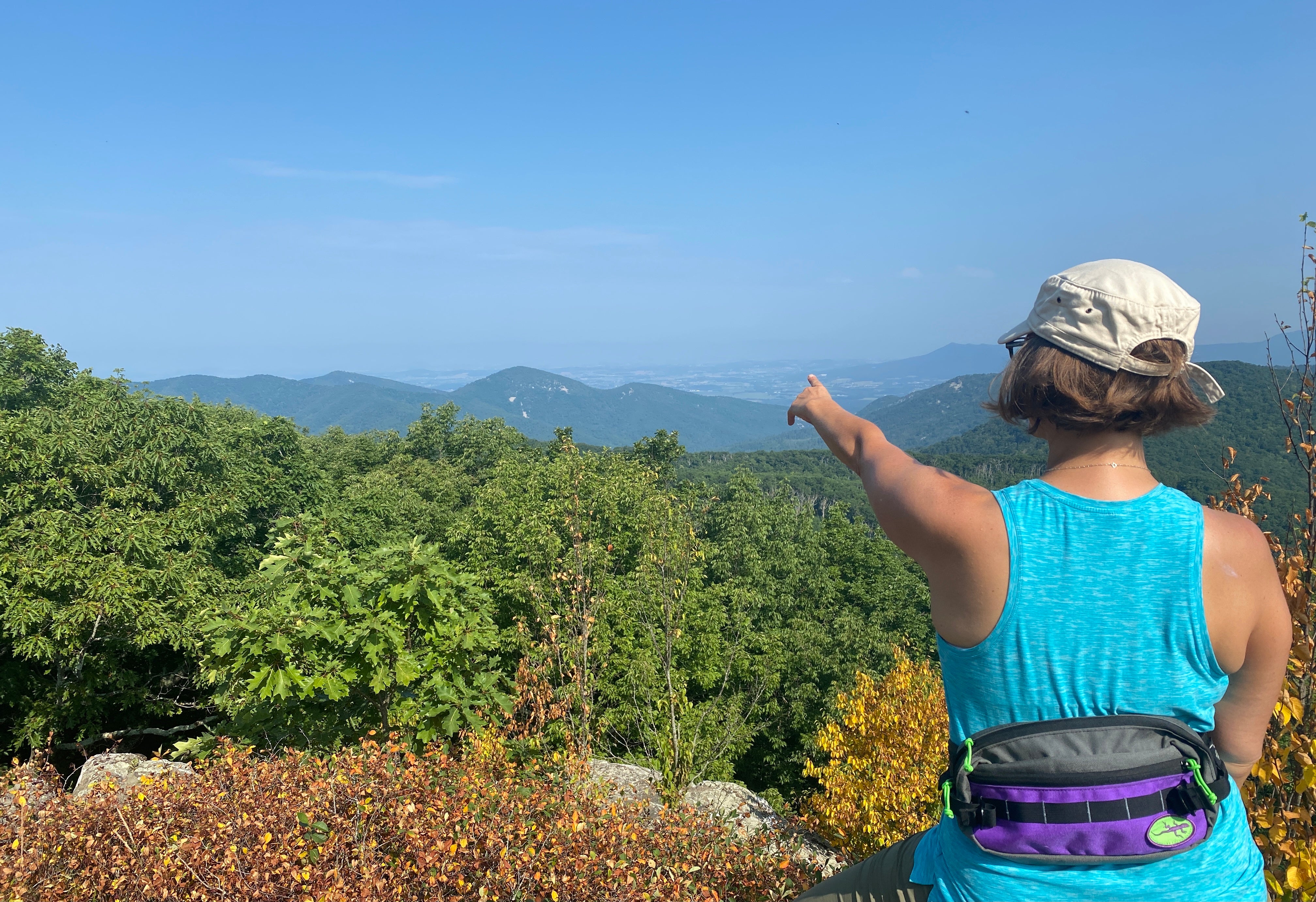
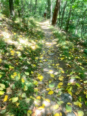
Some of the best hiking trails in the Eastern United States
-
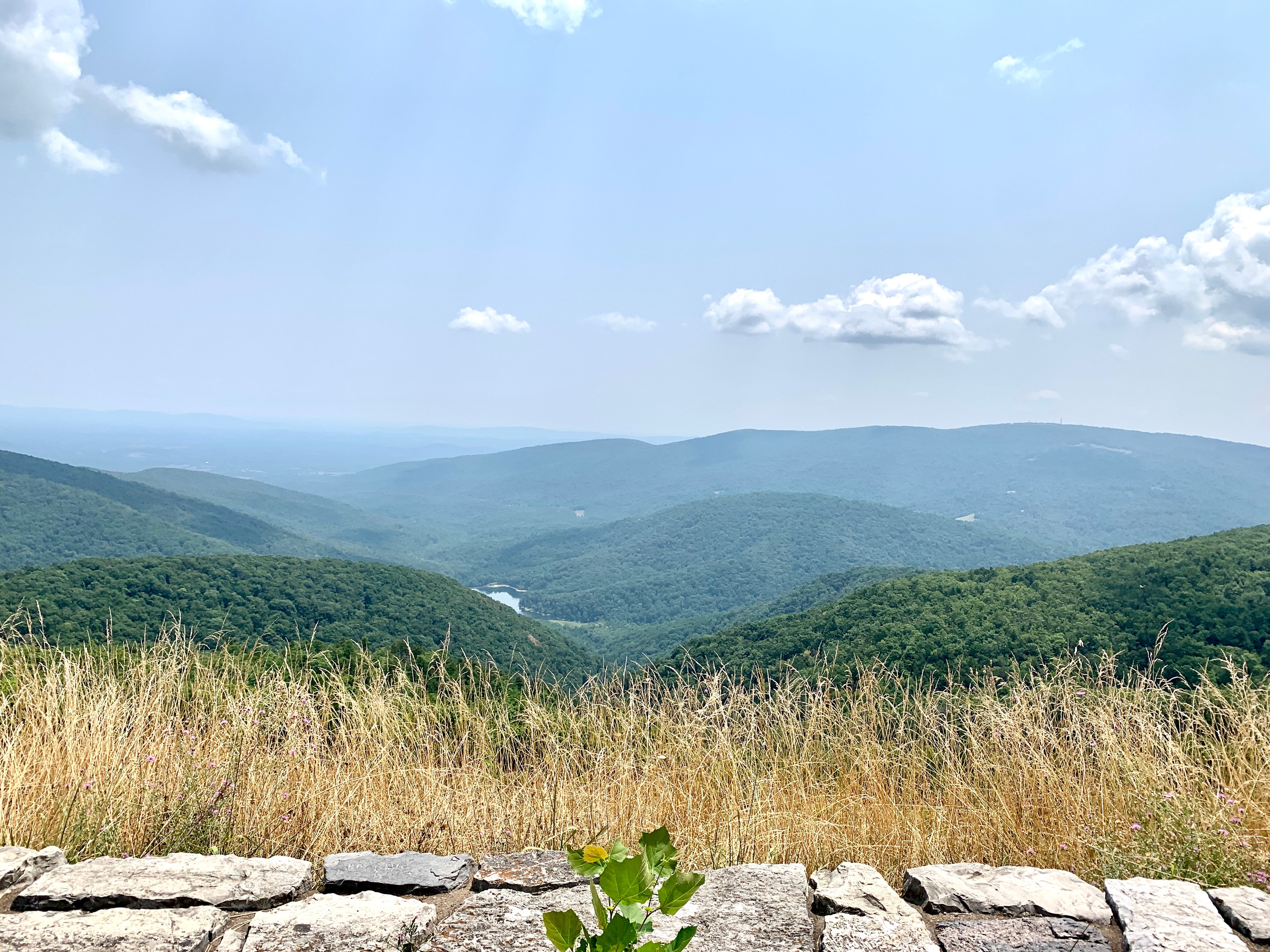
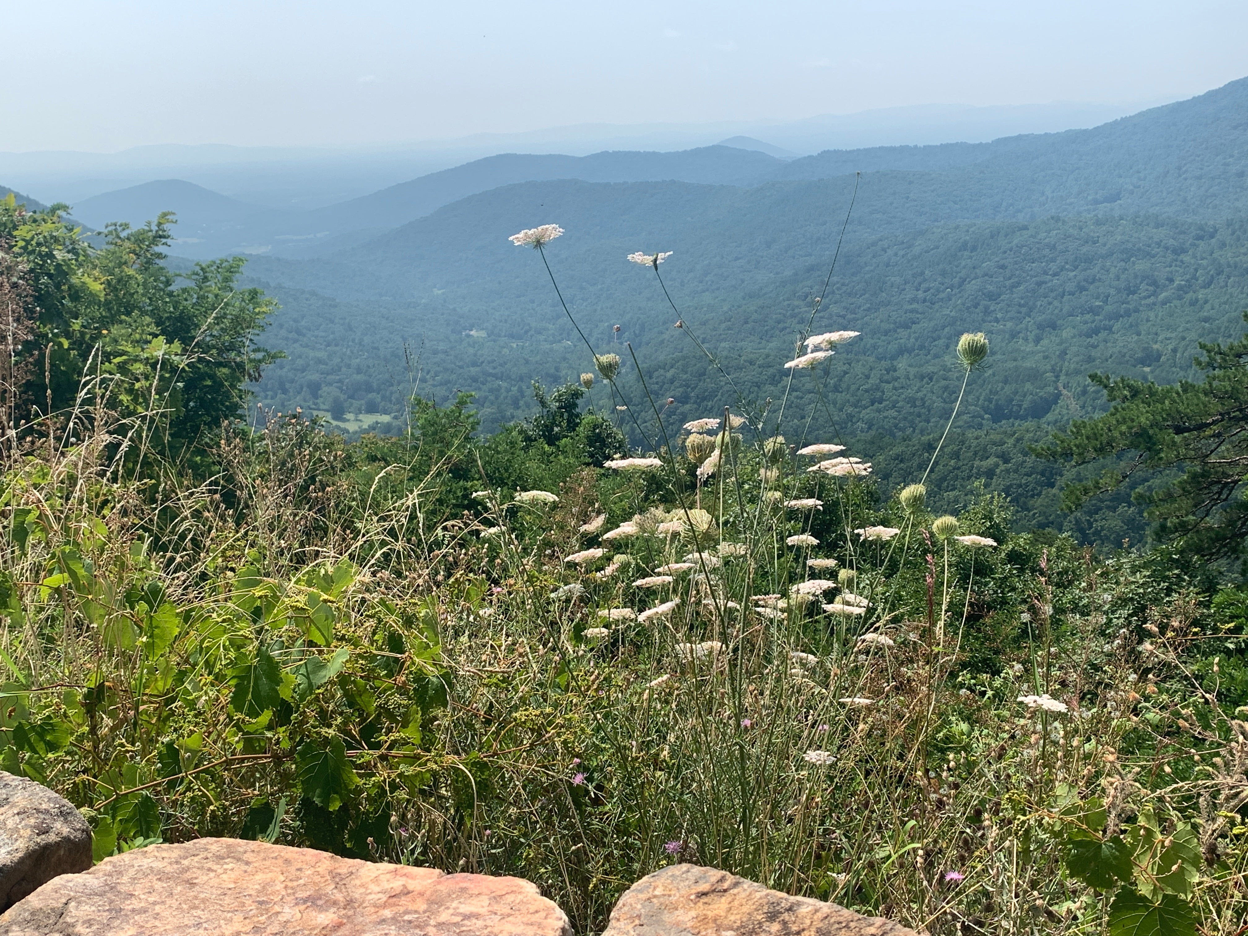
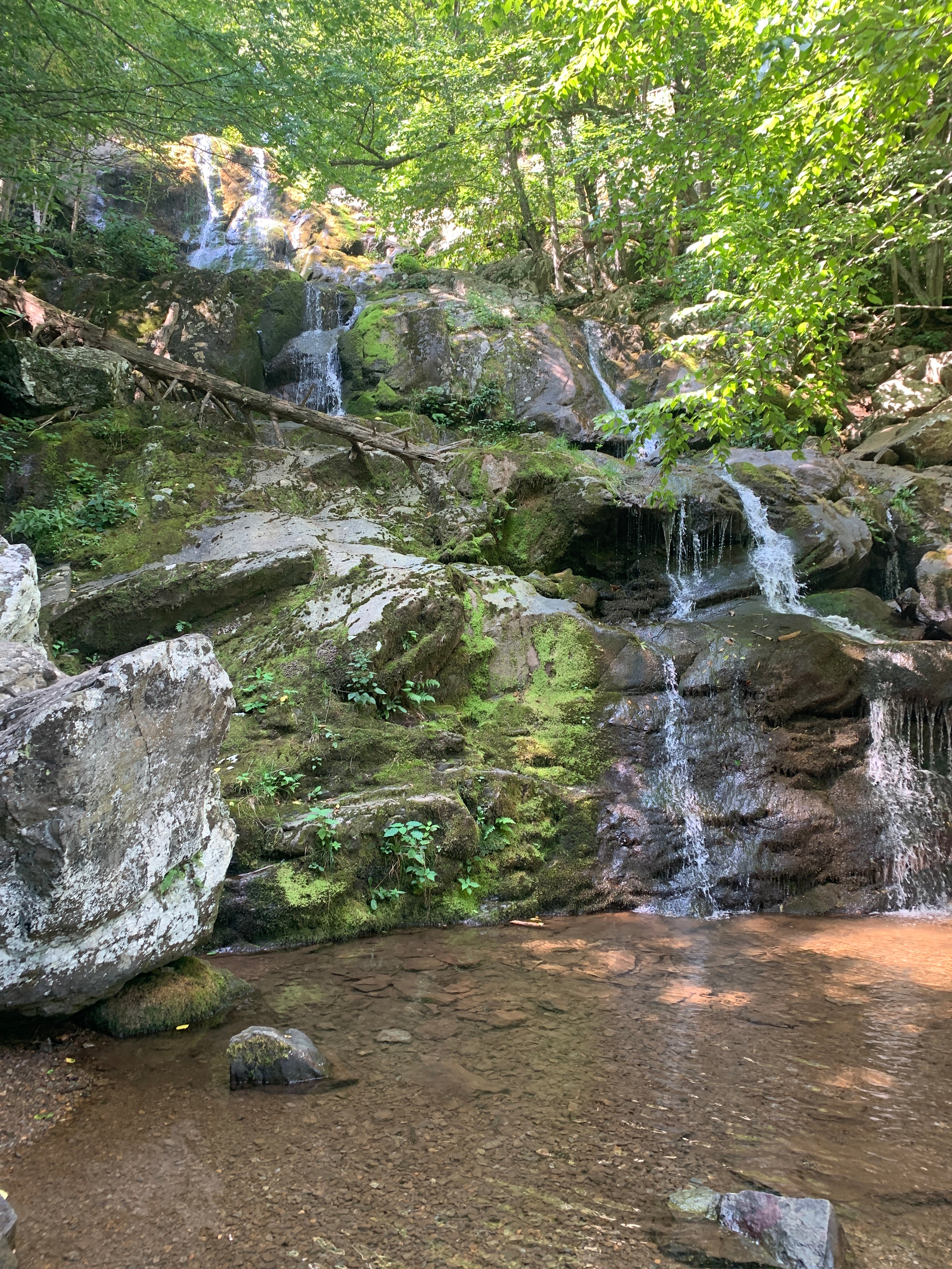
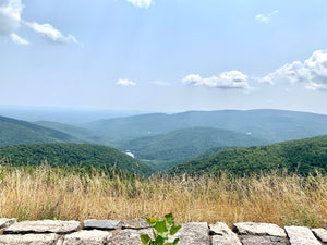
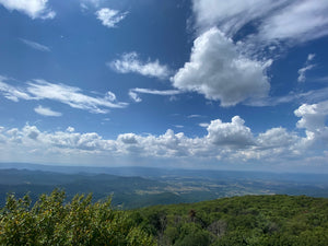
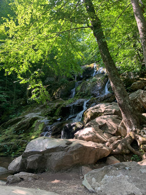
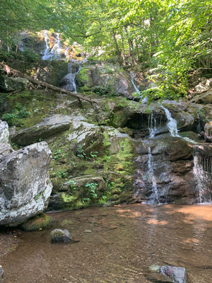
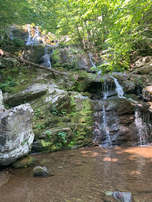
Waterfalls and vistas
-
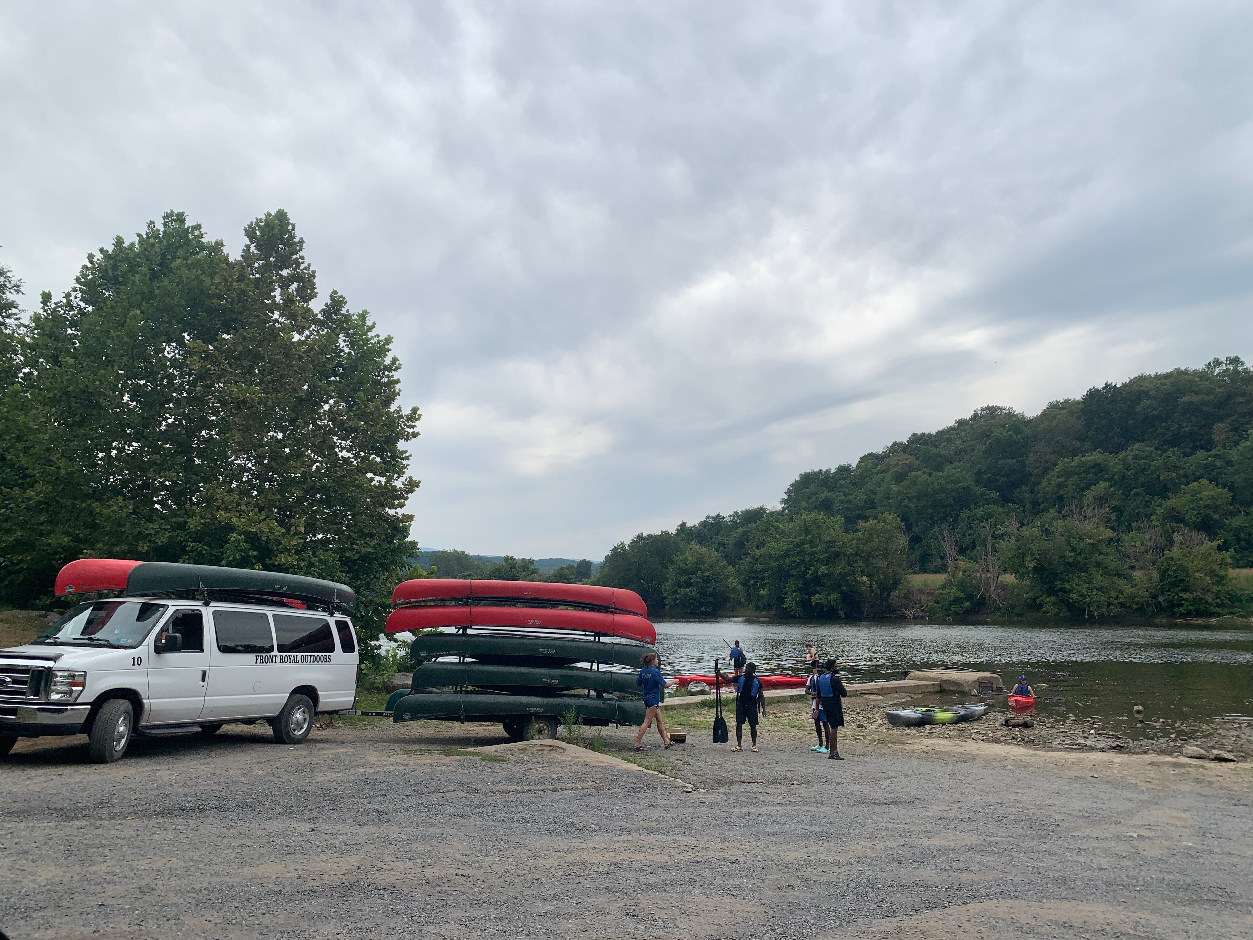
Shenandoah Valley and South Fork of the Shenandoah River
-
Backroads and byways
-
National Park Campgrounds and Picnic Areas
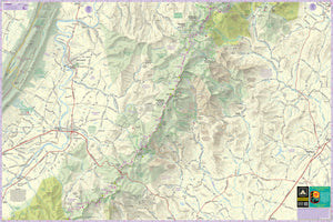
The Shenandoah Lizard Maps cover the eastern Shenandoah Valley, South Fork of the Shenandoah River and surrounding mountains as well as the Appalachian Trail throughout the National Park and Wilderness Areas.
They include the towns of Front Royal in the north to Waynesboro and Crozet in the south, including the National Park, South Fork Shenandoah River, Page Valley, Shenandoah Valley and portions of the George Washington National Forest to the west. It includes the towns of Front Royal, Luray, Sperryville, Shenandoah, Elkton, Madison, Grottoes, Waynesboro and Crozet,Virginia.
Lizard Maps are durable, waterproof, and give you the big picture – the map opens to 24” x 36” and folds easily to 4” x 8” to fit in your back pocket. The scale is 1:46,900, 1 inch equals 3/4 mile.
The Shenandoah Lizard Maps include one of our Skyline Drive Lizard Stickers to help you remind yourself where you'd rather be - perfect for your laptop, back window or water bottle.
Public land:over 200,000 acres of Shenandoah National Park Forest and NPS Wilderness Areas, plus parts of George Washington and Jefferson National Forest, as well as Shenandoah River State Park, Virginia Wildlife Management Areas, Virginia Department of Wildlife Resource Land, Appalachian Trail Corridor Land and town parks.
Destinations:include Skyline Drive, the Appalachian Trail, Old Rag, and a tremendous amount of hiking trails in and around Shenandoah National Park.
Roads:all Lizard Maps show which roads are paved, dirt/gravel or gated administrative forest roads. Perfect for anyone looking to put together a remote route using backroads and byways.
Major hiking trails:the Appalachian Trail in its entirety as it traverses Shenandoah National Park. The Tuscarora Trail from it's Southern origin with the AT west to George Washington and Jefferson National Forest. The entire hiking trail network of Shenandoah NP. Portions of the northern section of the Massanutten Mountain National Recreation Trail in the George Washington and Jefferson National Forest.
Major biking trails: There are no mountain bike trails in Shenandoah National Park. There are shared use trails open to mountain biking in the George Washington and Jefferson National Forest.
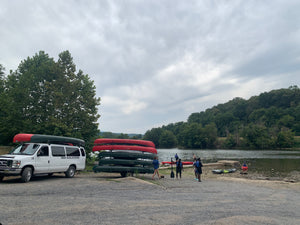
Even more trails: Lizard Maps highlight and designate public trails and paths including hiking, biking, equestrian and rail trails managed by federal, state and local authorities. For paddlers, the South River at Waynesboro is shown, and the entire South Fork of the Shenandoah River from Grottoes to Front Royal, including mile markers 1-44 along the most popular access stretch.
Points of interest: National Park Service campgrounds, picnic areas, scenic overlooks, waterfalls, observation towers, climbing areas and lizard spots.
Towns: Front Royal, Luray, Sperryville, Shenandoah, Elkton, Madison, Grottoes, Waynesboro and Crozet, VA.
Lizards!The little purple Lizards you’ll find scattered on the map signify an interesting spot to check out. The Legend says “This Could Mean Anything: cool place, sweet view, local legend”.
Shenandoah National Park and the surrounding area is one of the best outdoor recreation playgrounds in the United States. The Purple Lizard Shenandoah Maps are your key to planning your best adventure in this fantastic area.
Looking to have the best of both worlds on your adventures and also get this Lizard Map in an app?
Head over to the Lizard Avenza Store.
![]()
Product Type : Maps