Your Cart is Empty


Dolly Sods-Seneca Rocks Lizard Map: West Virginia
$18.00
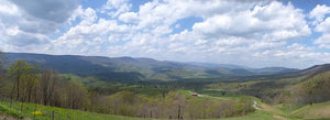
Dolly Sods-Seneca Rocks Lizard Map West Virginia
Love Monongahela National Forest?
Check out the Elkins-Otter Creek Lizard Map.
"THANK YOU Purple Lizard Maps!!!
We’re now planning a Monongahela National Forest long weekend to the Gandy Creek area. It’s been over 20 years since I’ve hiked/camped there. Your lovely map brought back so many great memories. Time to make more!"
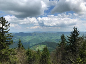
The perfect gift for anyone who loves extraordinary beauty and one of our most popular titles. A beautifully designed, easy to read topographic map featuring contour lines, elevation data, shaded relief, and all the key details you need to plan your adventures: backroads and trails, trail use designations, road surfaces (paved/gravel/4wd), parking access, campsites, public lands, historic sites and more.
Lizard Maps are durable, waterproof, and give you the big picture – the map opens to 24” x 36” and folds easily to 4” x 8” to fit in your back pocket. The scale is 1:48,000 (1 inch = 0.75 mile). Includes both lat./lon. and UTM coordinate systems.
"Thank you for making such amazing, thought provoking, and humorous maps. (Who’d ever think you could say these things about a map?!) Purple Lizard maps take adventuring to the next level!" - Lisa
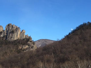
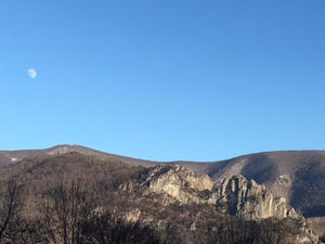
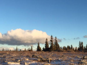
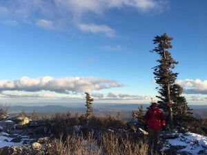
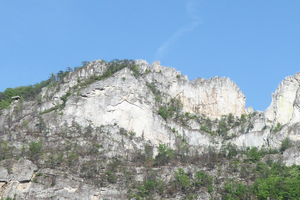
Public land: the northeastern tier of Monongahela National Forest, Blackwater Falls State Park, Canaan Valley National Wildlife Refuge, Canaan Valley State Park, Bear Rocks Preserve, Pike Knob Preserve, Dolly Sods Wilderness, Roaring Plains West Wilderness, Seneca Rocks, Smoke Hole and Spruce Knob.
Destinations: Red Creek Campground, The Road Across The Sky, Lower Glady Dispersed Camping Area, Gandy Creek Dispersed Camping Area, Spruce Knob Campground, Spruce Knob-Seneca Rocks National Recreation Area, Big Bend Campground and Johnny Meadows Camping Area.
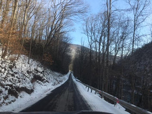
Roads: all Lizard Maps show which roads are paved, dirt/gravel or 4wd roads as well as which are gated. Perfect for bicyclists, dual sport riders and overlanders looking to put together a remote backcountry route across public lands.
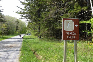
Major hiking trails: designated hiking trails in the Dolly Sods Wilderness, Blackwater Canyon Trail, North Fork Mountain Trail, sections of the 300-mile Allegheny Trail, Huckleberry Trail, Seneca Creek Trail and Allegheny Mountain Trail.
Major biking trails: the mountain bike trails of Thomas and Davis, WV, including Moon Rocks and HooDoo, Hellbender, Plantation, Splash Dam and Rock Shocks Trail, the Blackwater Canyon Trail as well as the entire North Fork Mountain Trail.
Even more trails: Lizard Maps highlight and designate public trails and paths including hiking, biking, equestrian, skiing, snowmobiling and rail trails managed by federal, state and local authorities, including trails of Blackwater Falls and Canaan Valley State Parks, Wilderness Area trails and Thomas City Park trails and the Thomas Rail Trail.
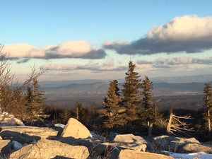
Points of interest: campgrounds, picnic areas, river access, boat launches, climbing areas, primitive car camping sites, scenic overlooks, observation towers, waterfalls and lizard spots.
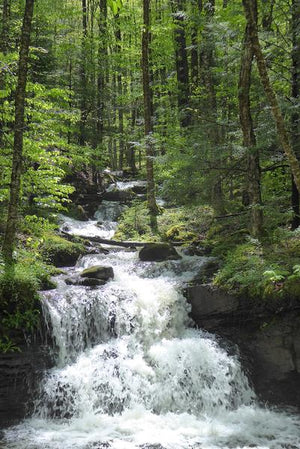
Major rivers: Blackwater River, Dry Fork of the Cheat River, Seneca Creek, and the South Branch of the Potomac River.
Towns: Davis, Franklin, Petersburg and Thomas, WV.
Lizards Galore! The little purple Lizards you’ll find scattered on the map signify an interesting spot to check out. The Legend says “ This Could Mean Anything: cool place, sweet view, local legend”.
Check out our 75 Lizard Sticker: do you know what it means?
All Purple Lizard maps are available flat (rolled up, unfolded) suitable for framing in a corporate lobby or just nailing to a cabin wall.
UPC: 8-09368-82024-0 ISBN: 9781792333163
Print edition updated 8/2024
Looking for this Lizard Map in an app? Head to Avenza!
![]()
Ready for more West Virginia Adventure?
More WV adventure is right next door to the Elkins - Otter Creek Map. Grab the Elkins-Otter Creek Lizard Map and start planing today.
Want some WV Adventure ideas?
Check out the WV Lizard Adventure Blogs
Health warning: continued use of Purple Lizard maps may result in an inability to stay indoors and a sudden criticism of traffic. Your skin may become covered with dust and dirt. Mild confusion will make it difficult to relate time and distance, which may alter your definition of weather. There is a potential for all of these side effects to occur simultaneously and without warning. That's why we are warning you now.
This Lizard Map is available flat (rolled up, unfolded) suitable for framing in your living room or just nailing to a cabin wall. The map cost is the same ($15) but shipping varies. E-mail info@purplelizard.com for specifics.
Shipping Privacy and Return Policies
We are a proud member of 1% For The Planet.

Product Type : Maps