Your Cart is Empty


Sold out
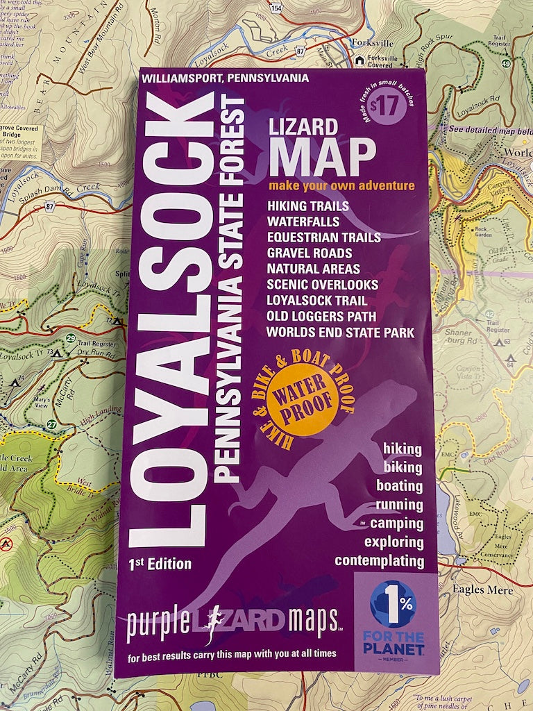
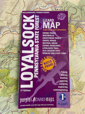
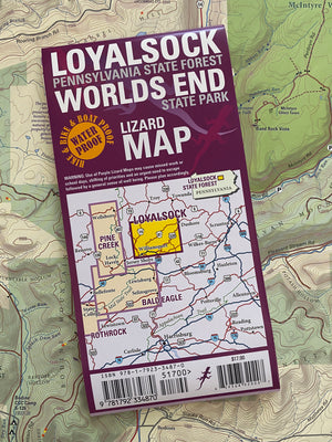
Loyalsock-Worlds End Lizard Map, Pennsylvania
$17.00
A map for people who love real-world experiences
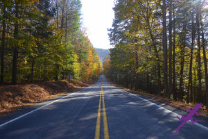
The Loyalsock - Worlds End Lizard Map will help you plan all your adventures in and around Loyalsock State Forest from Williamsport to Worlds End State Park. This is one of the most popular 4-season State Parks in Pennsylvania.
SOLD OUT! We have a new edition in the works! You might find a copy at your local shop or from one of our on-line retailers.
Check with PA Parks and Forests here!
You can also purchase the map digitally on Avenza!
"Thank you so much for the Loyalsock Lizard Map :) It has already enabled me to squirm my way into a good little wild trout stream in Lycoming County that I was unable to find a legal way in prior from another direction. I am finding more and more value in your maps primarily because you have updated trails, and have added new trails, that may not show on even the latest USGS topos" -John in PA
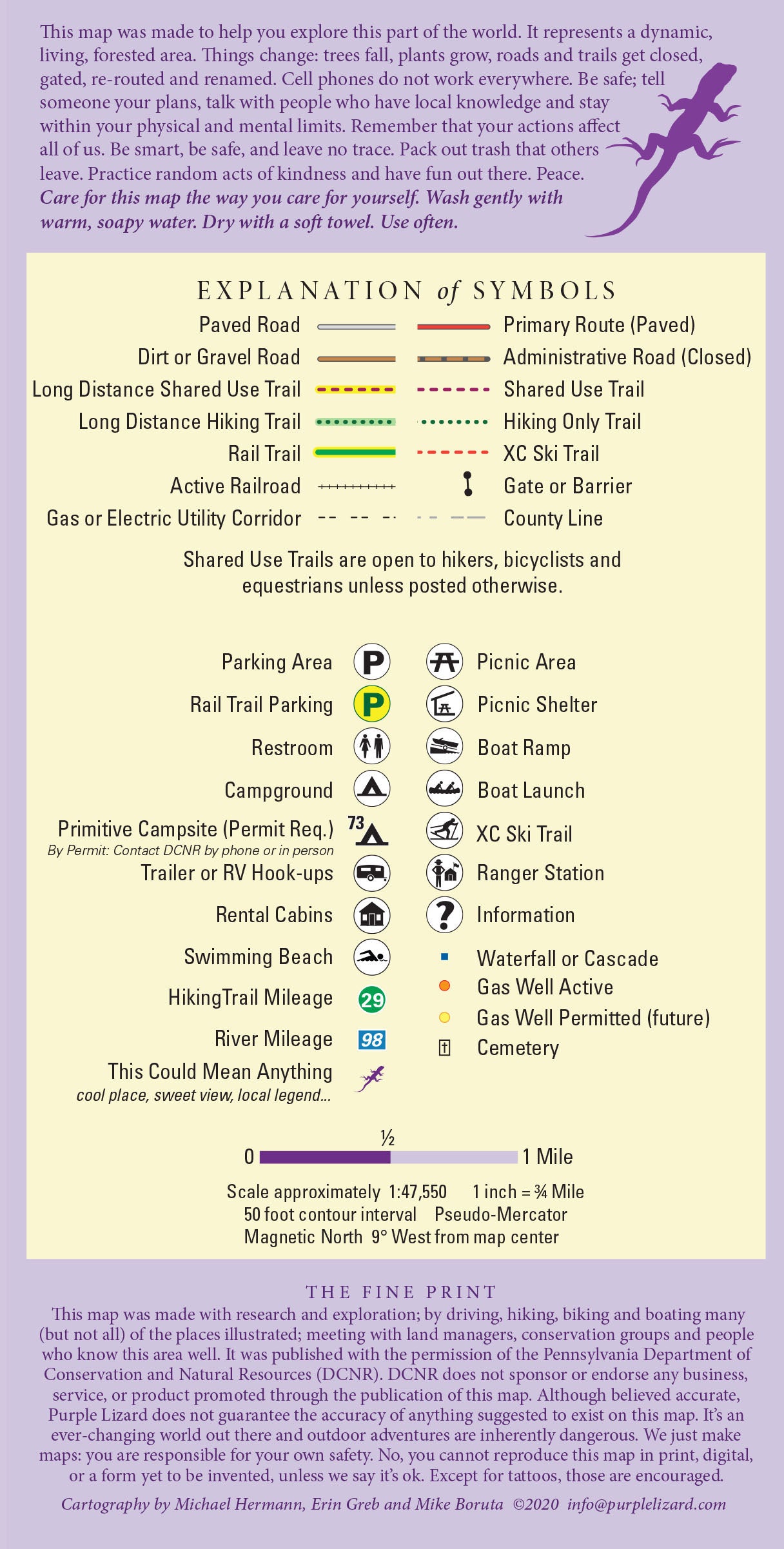
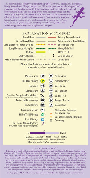
A beautifully designed, easy to read topographic map featuring contour lines, elevation data, shaded relief, and all the key details you need to plan your adventures: backroads and trails, trail use designations, road surfaces (paved and dirt), the Loyalsock Trail and Old Loggers Path, parking access, campsites, public lands, historic sites and more.
Lizard Maps are durable, waterproof, and give you the big picture – the map opens to 24” x 36” and folds easily to 4” x 8” to fit in your back pocket. The scale is 1:47,550 (1 inch = 3/4 mile). Includes both lat./lon. and UTM coordinate systems.
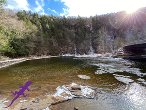
There is a detailed inset map of Worlds End State Park at a scale of 1:20,000.
Please note: DCNR has changed the numbering system of the motorized, drive-in backcountry campsites. The Lizard Map shows the 2-digit numbering system, but the new system is 3-digit. If you reserve your campsite on-line you will need to cross reference the locations, if you call the State Forest office to reserve they can help you 'translate'.
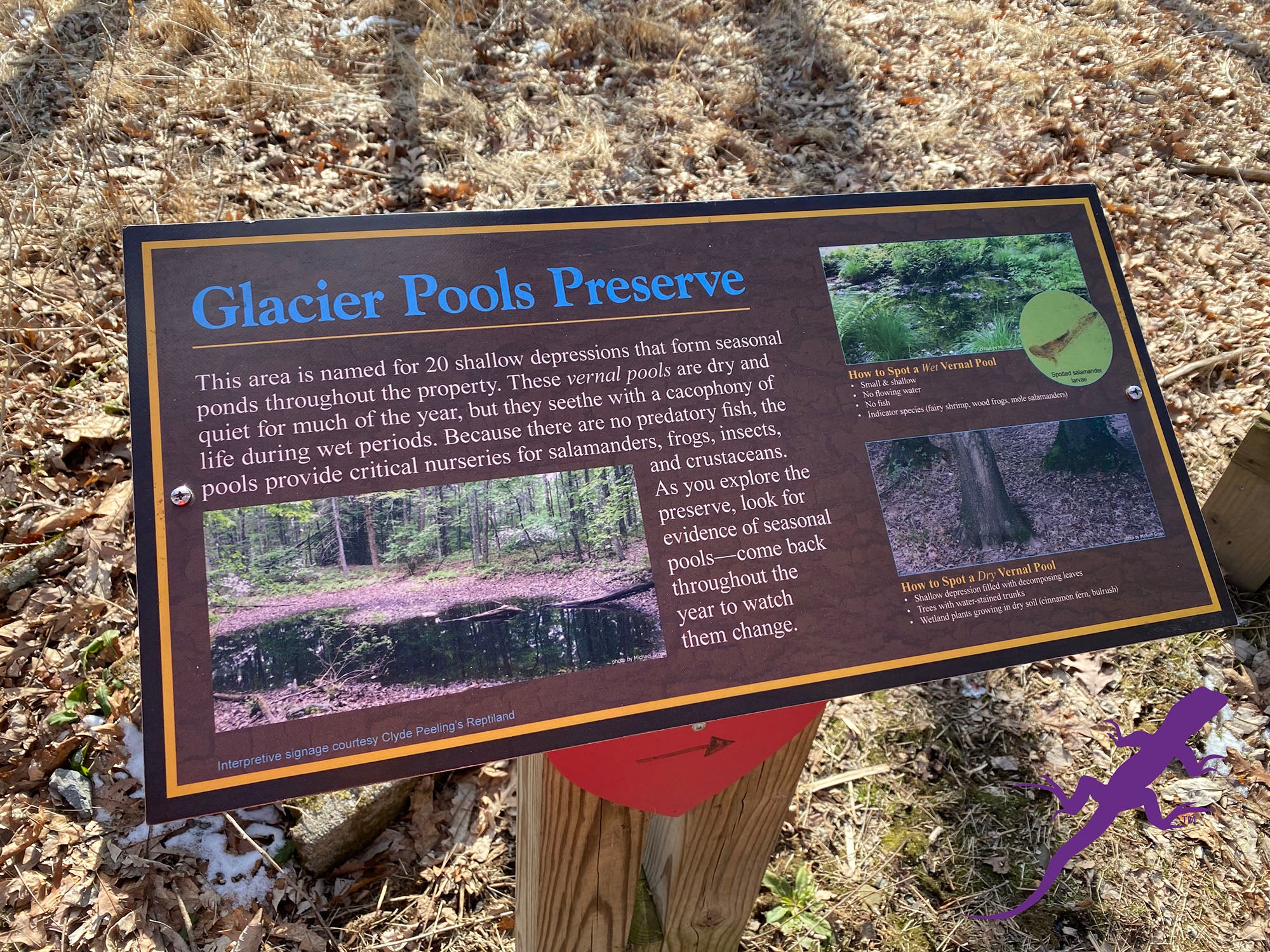
Public land: all of Loyalsock State Forest and Worlds End State Park, with a section of Tiadaghton State Forest south of Williamsport. Sections of State Game Lands 12, 13, 133, 134, and 298; McIntyre Wild Area, Devils Elbow Natural Area, Rider Park Trails, Kettle Creek Gorge Natural Area, Conklin Run Wilderness Area, Glacier Pools Preserve and the PA Fish and Boat Commission's Hunters Lake and Rose Valley Lake.
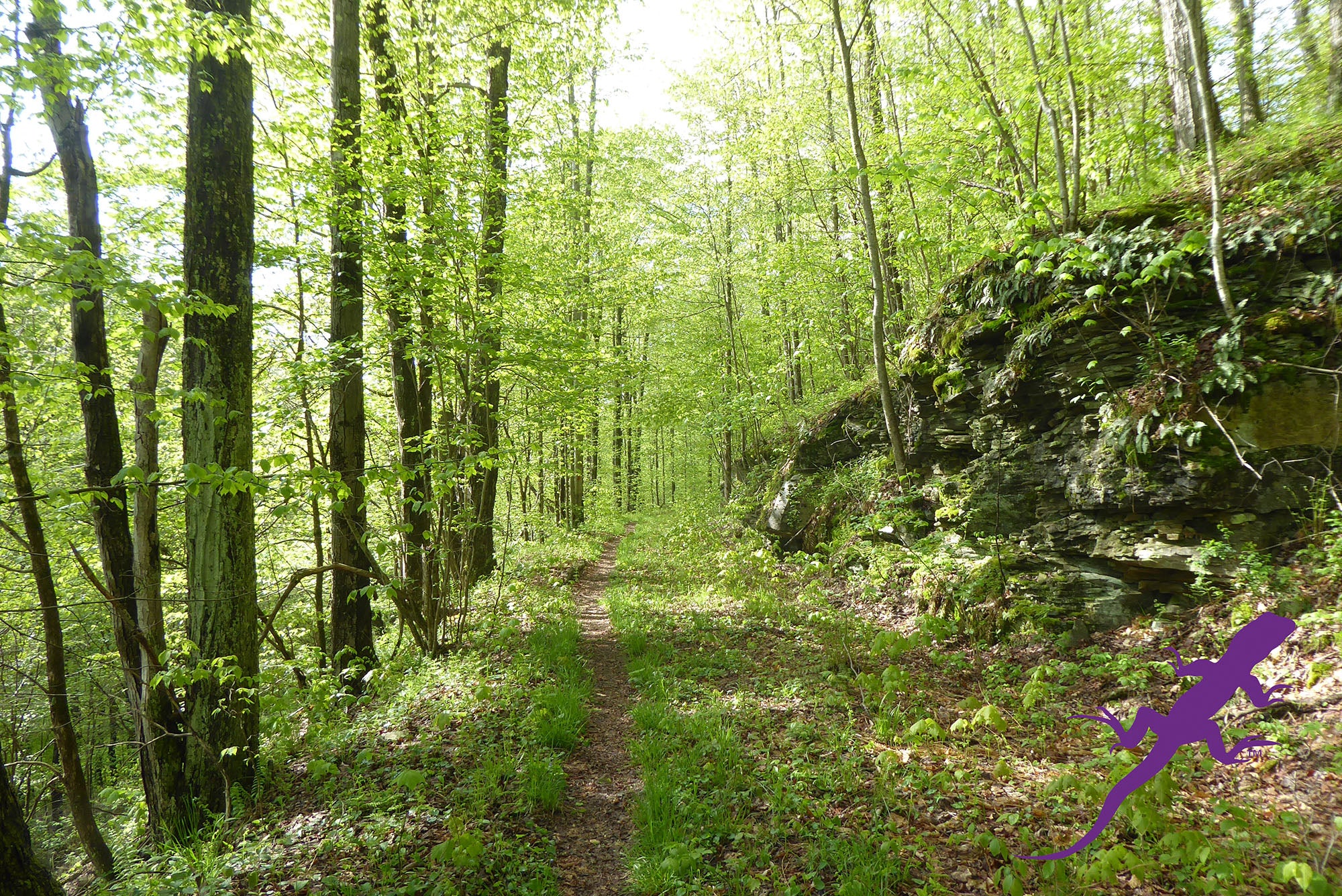
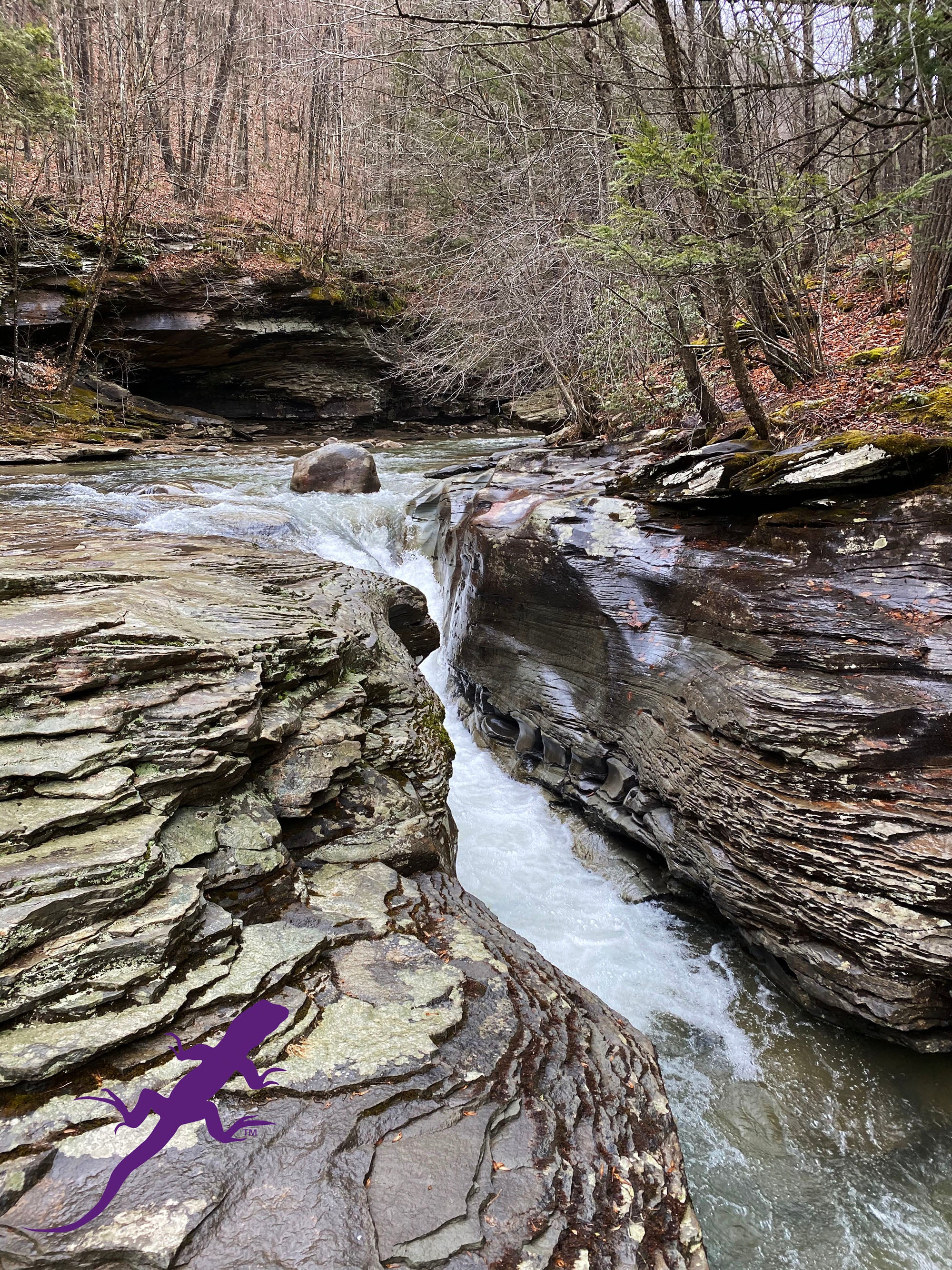
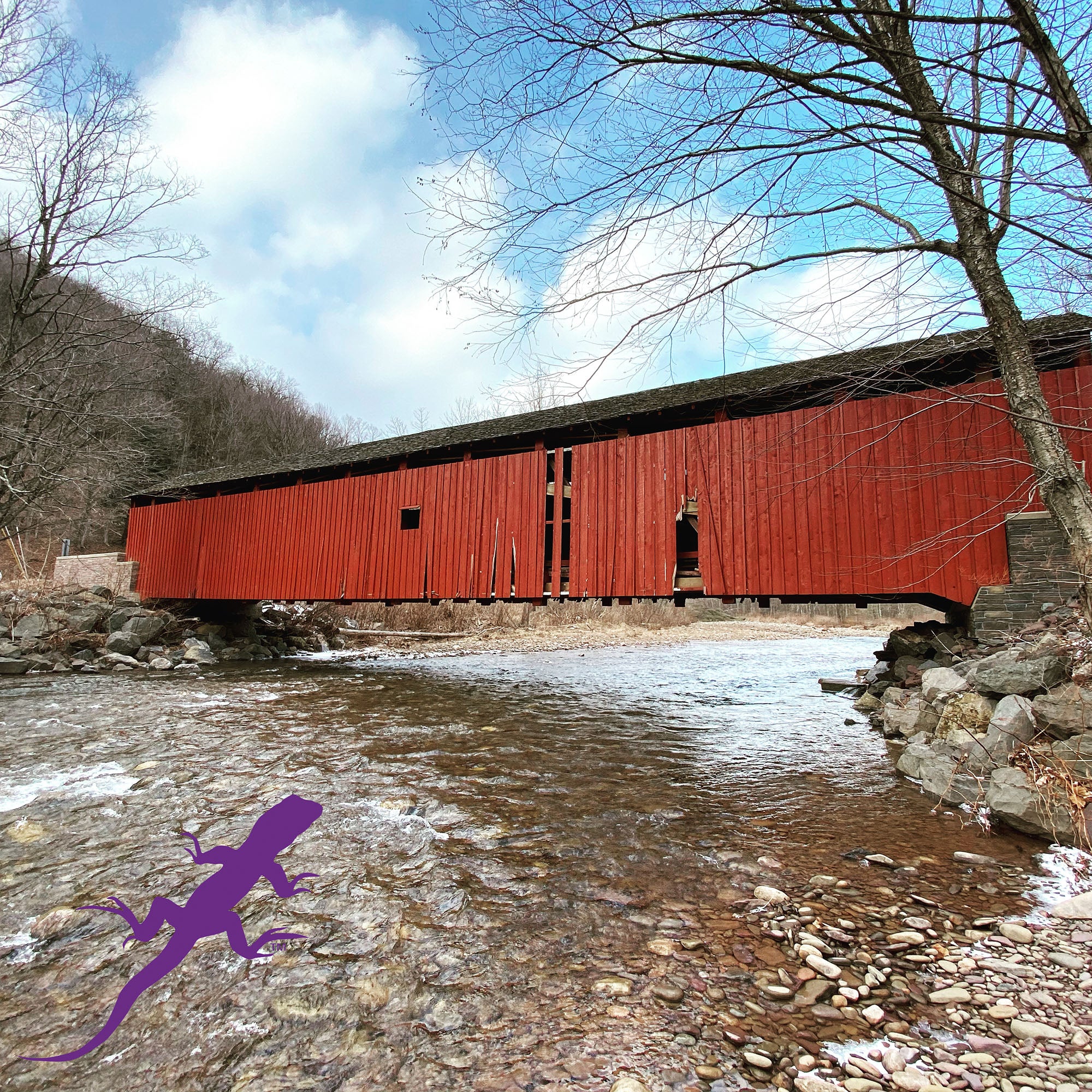
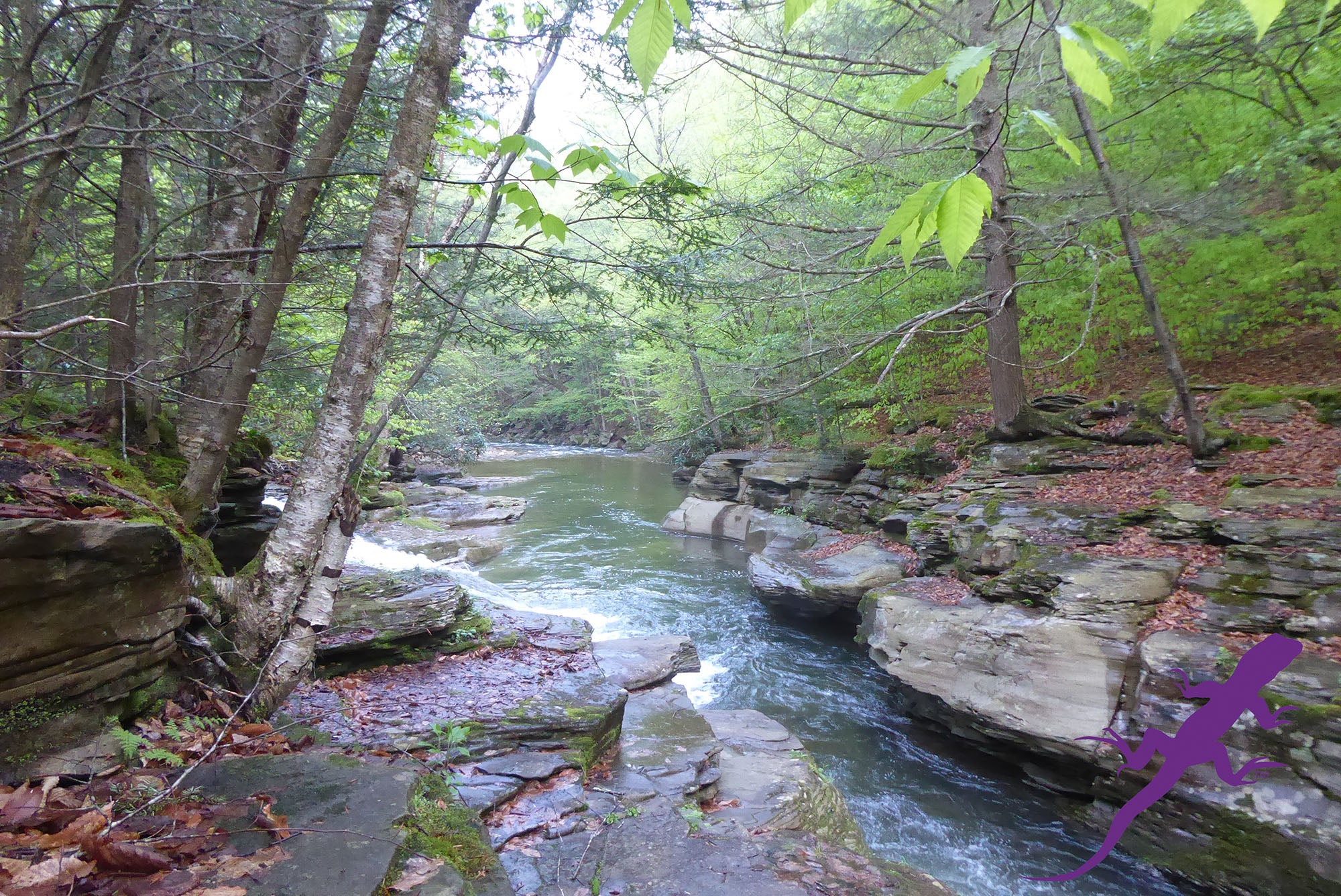
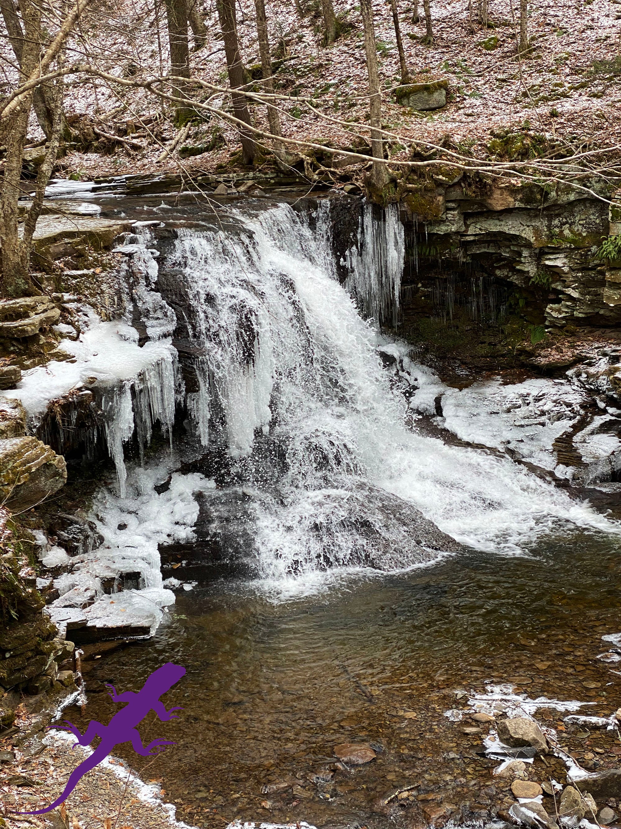
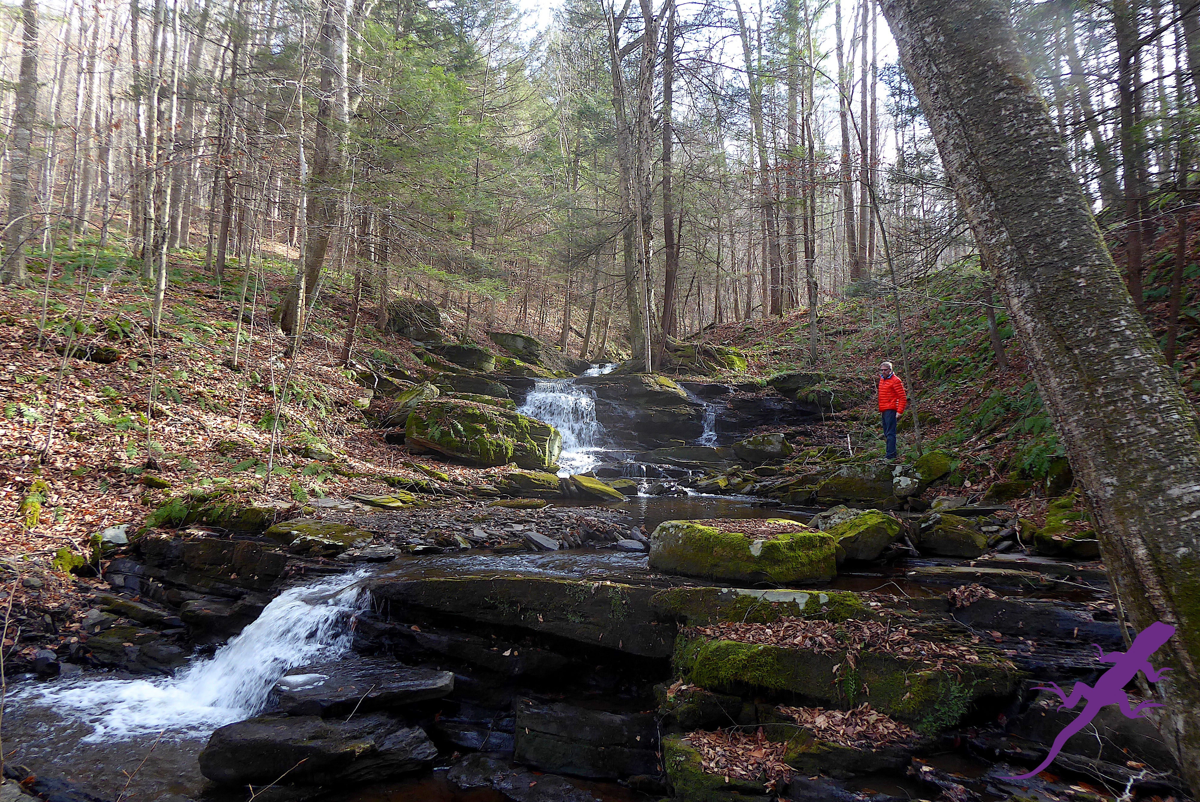
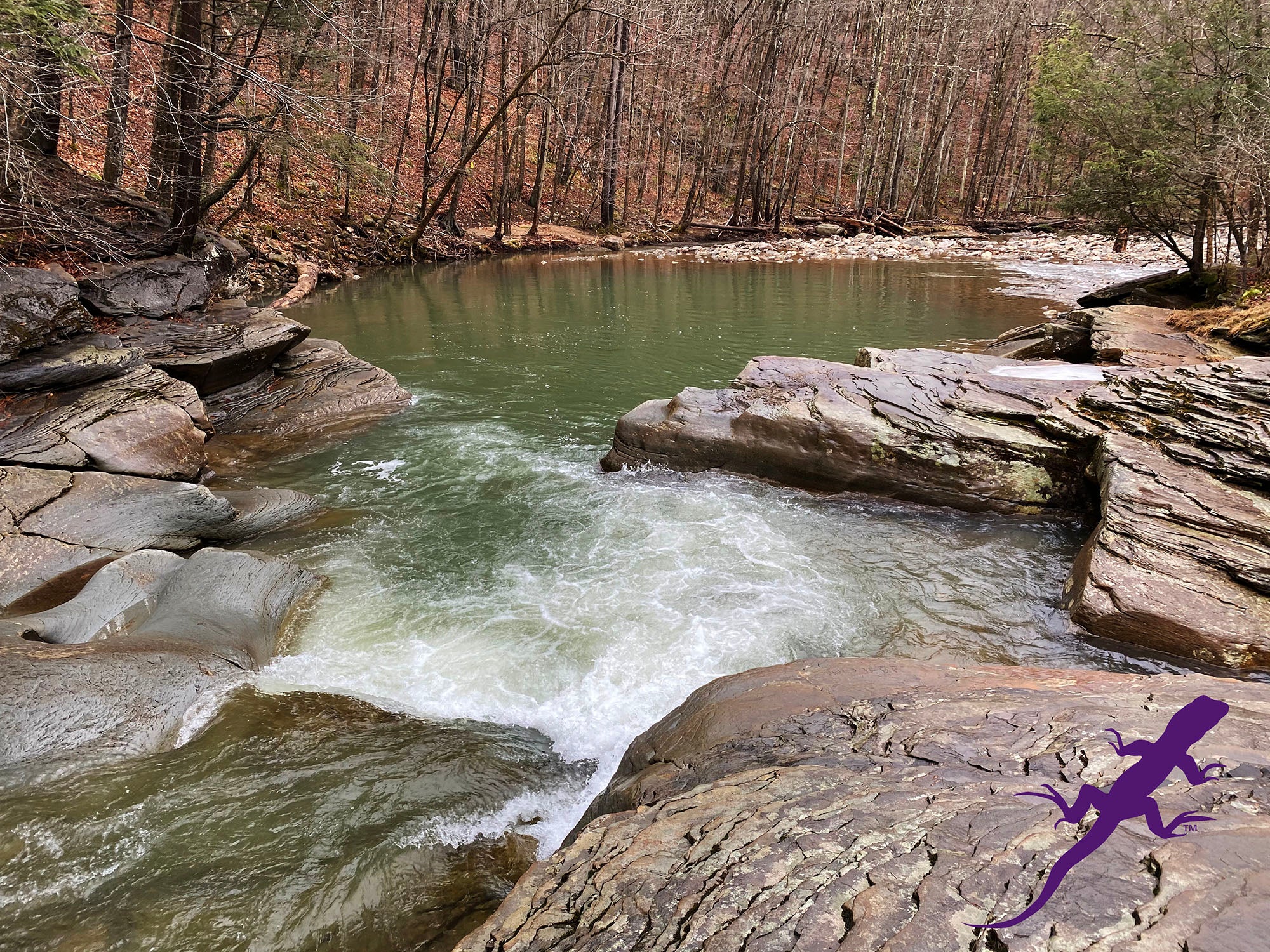
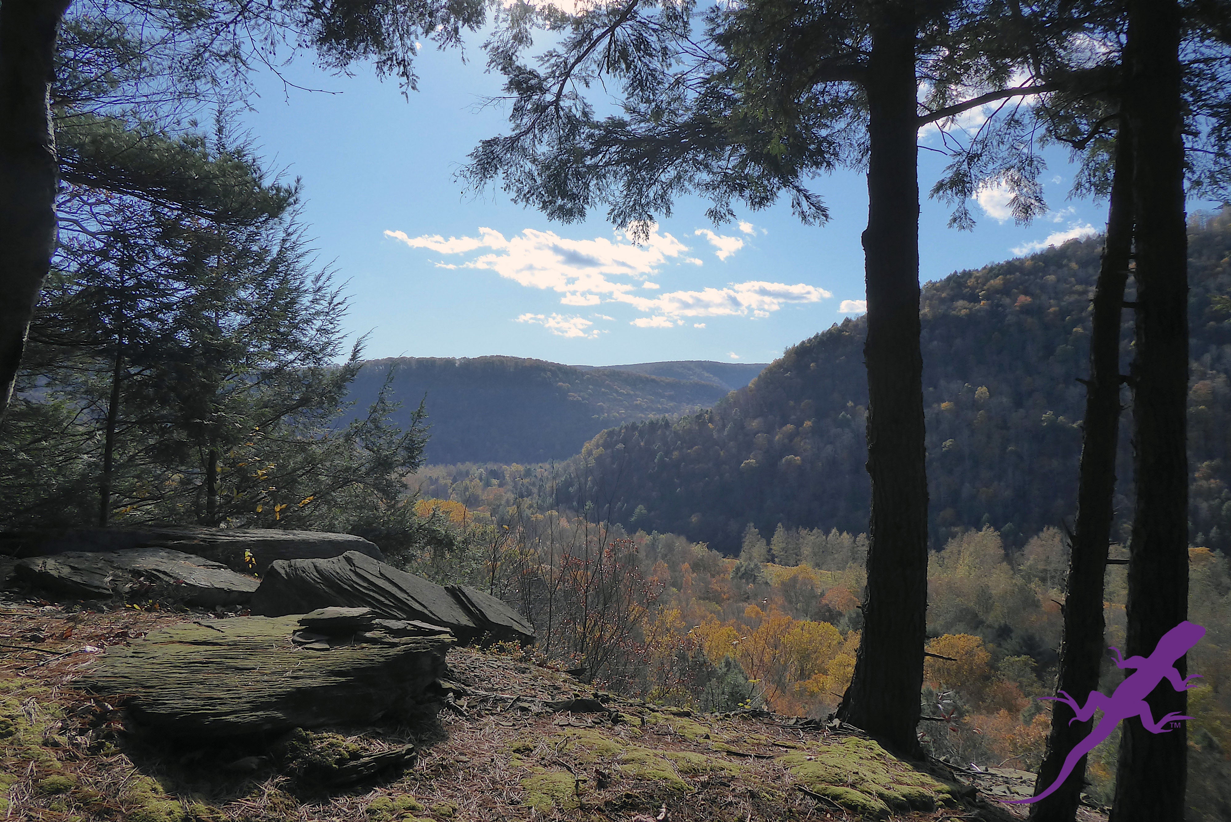
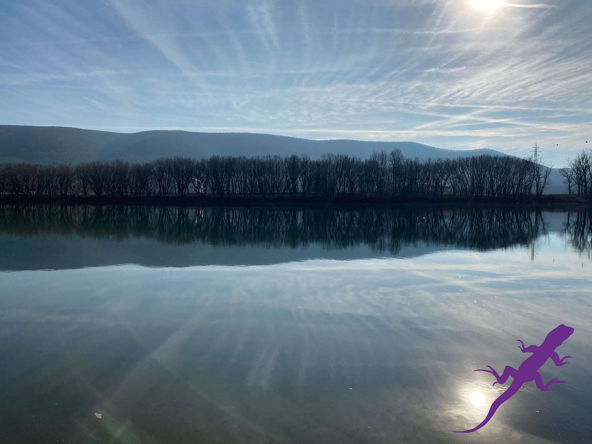
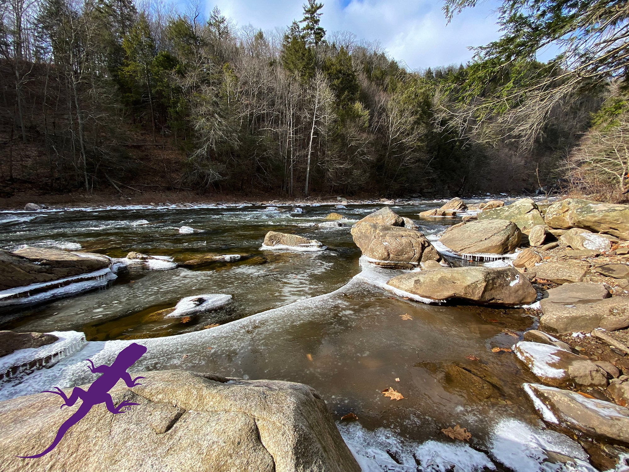
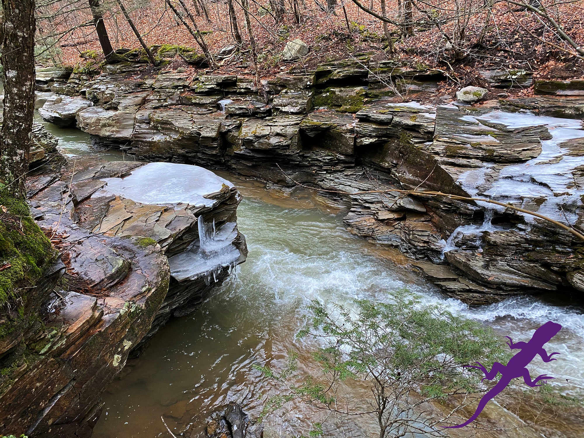
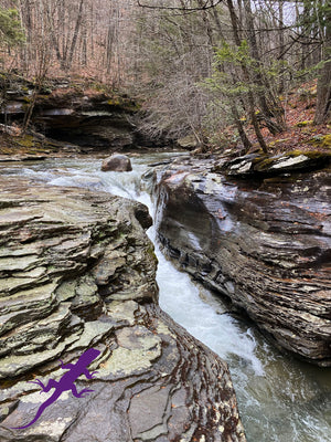
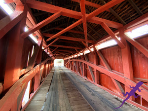
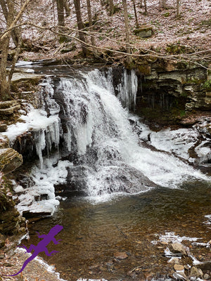
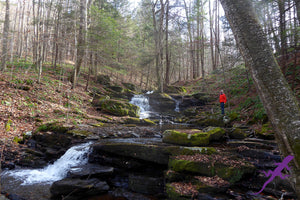
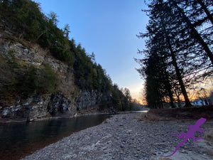
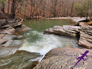
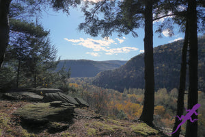
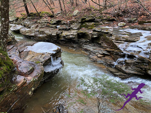
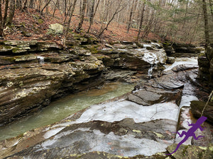
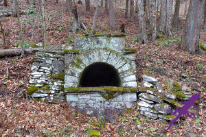
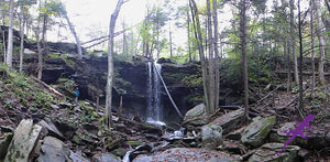
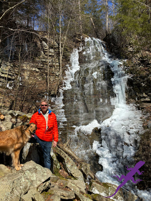
Destinations: The Loyalsock Creek, Haystack Rapid, Bear Wallow Pond, Sones Pond, historic CCC camps, numerous waterfalls, cascades and vistas throughout the trails system and roads.
"The maps are almost information overload!" Nick from PA
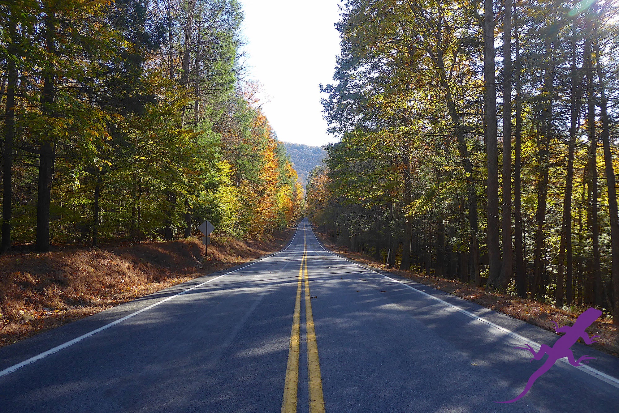
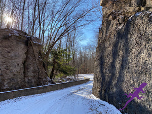
Roads: all Lizard Maps show which roads are paved, dirt/gravel and gated Administration roads. Perfect for bicyclists, dual sport riders and overlanders looking to put together a remote backcountry route across public lands.
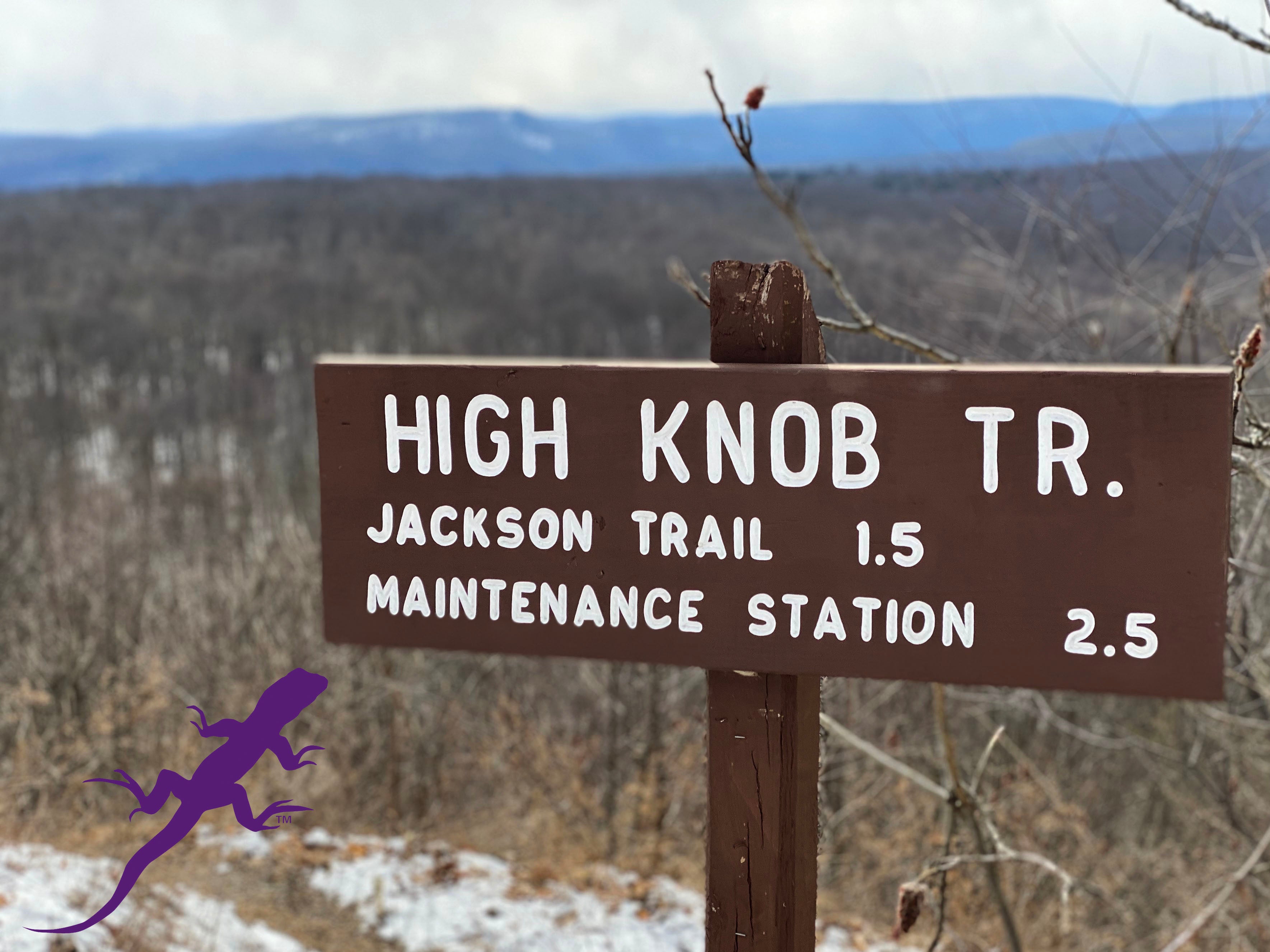
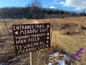
Major hiking trails: the complete 59-mile Loyalsock Trail, one of the best point-to-point remote backpacking trails in the State. The complete Old Loggers Path, a 27-mile backpacking trail that is a loop.
Equestrian trails: the 50-mile Loyalsock Bridle Trail is among the best in the State. Designed around two 25-mile loops that meet at a centralized campground designed for horses (and horse trailers), this shared use path uses old logging roads and trails to explore a large and diverse swath of Loyalsock State Forest.
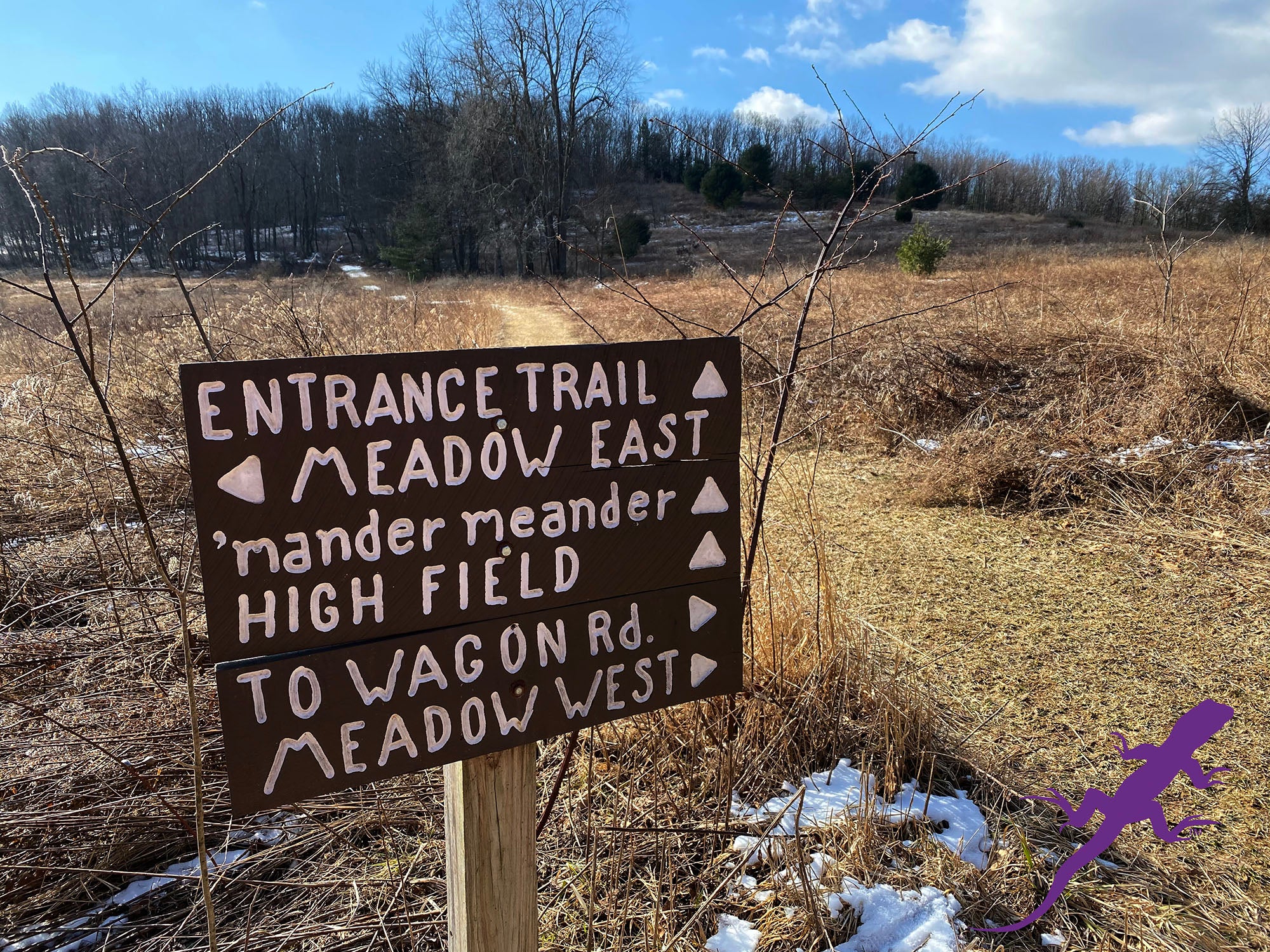
Even more trails! Lizard Maps highlight and designate public trails and paths including hiking, biking, equestrian, skiing and rail trails managed by federal, state and local authorities, including the Lycoming Creek Bikeway, Susquehanna River Walk, Loyalsock Bikeway and Montoursville Bikeway all located in and around Williamsport and the West Branch of the Susquehanna River. The Susquehanna Water Trail is shown from mile 44 at Susquehanna State Park to mile 28 at the confluence with Muncy Creek.
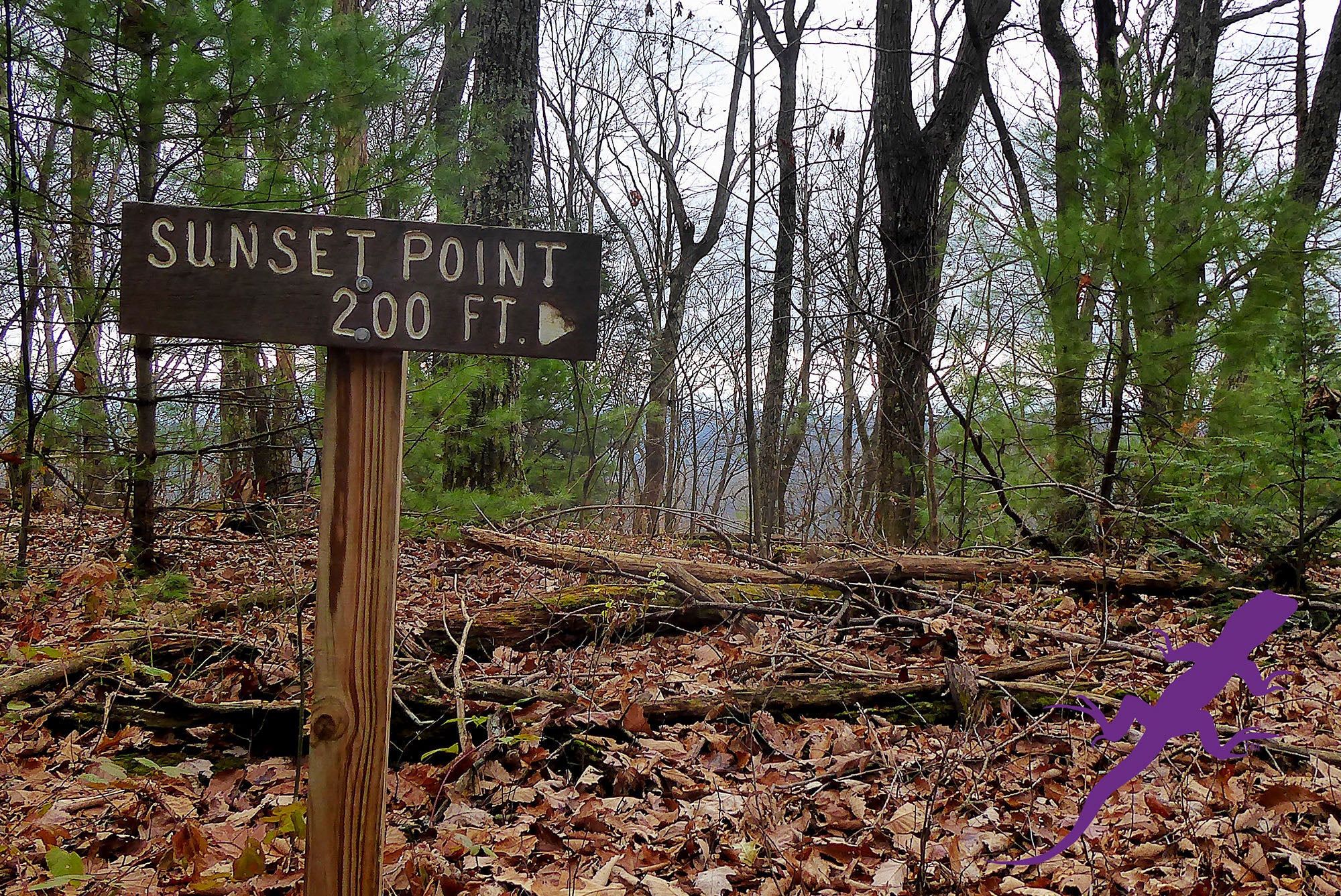
Points of interest: campgrounds, picnic areas, river access, boat launches, primitive car camping sites, scenic overlooks, waterfalls and lizard spots.
Wild and Natural areas plus: McIntyre Wild Area, Devils Elbow Natural Area, Rider Park Trails, Kettle Creek Gorge Natural Area, Conklin Run Wilderness Area, Glacier Pools Preserve (Merrill W. Linn Conservancy).
Towns: Dushore, Eagles Mere, Ellenton, Forksville, Laporte, Loyalsockville, Montoursville, Ogdonia, Picture Rocks, Shunk, Sonestown, Trout Run, and Williamsport, PA.
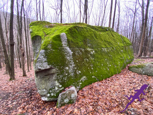
Lizards!The little purple Lizards you’ll find scattered on the map signify an interesting spot to check out. The Legend says “ This Could Mean Anything: cool place, sweet view, local legend”.
It will take you months, maybe years, to explore all the neat places on this map! It's time to start negotiating more time off!
"This is one of the most amazing landscapes we have ever mapped. The sheer number of waterfalls and cascades make it a special place, but the remote feeling that these trails offer is really special." Michael Hermann - Lead Cartographer
Health warning: continued use of these maps may result in an inability to stay indoors and a sudden criticism of traffic. Your skin may become covered with dust and dirt. Mild confusion will make it difficult to relate time and distance, which may alter your definition of weather. There is a potential for all of these side effects to occur simultaneously and without warning. That's why we are warning you now.
This Lizard Map is available flat (rolled up, unfolded) suitable for framing in a corporate lobby or just nailing to a cabin wall.
UPC: 809368320207 ISBN: 9781792334870
Shipping Privacy and Return Policies
Looking for this Lizard Map in an app? Head to Avenza!
![]()
We are a proud member of 1% For The Planet.

Product Type : Maps