Your Cart is Empty
Michaux Lizard Map, Pennsylvania
$18.00
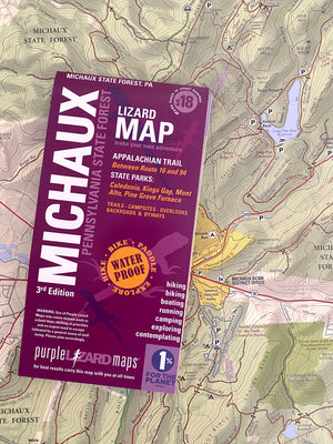
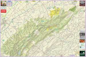
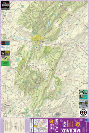
The most comprehensive outdoor recreation map available of Michaux State Forest, trails, dirt roads, back roads. Everything you need to plan your adventure in Michaux State Forest.
The Michaux Lizard Map will help you plan all your adventures in and around Michaux State Forest, one of the most popular outdoor recreation playgrounds in Pennsylvania. Michaux's 85,000 + acres of public land offers something for everyone!
Your Michaux map was so awesome I ordered it for a friend. Amazing. Thanks! –Buzz in Maryland
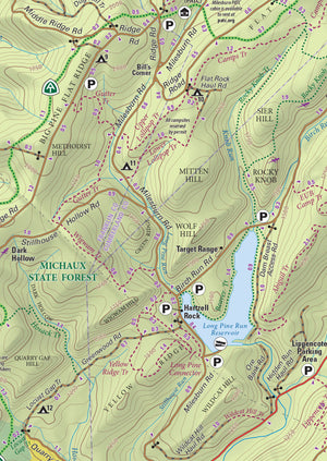
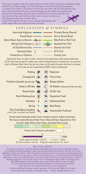
A beautifully designed, easy to read topographic map featuring contour lines, elevation data, shaded relief, and all the key details you need to plan your adventures: backroads and trails, trail use designations, road surfaces (paved/gravel/4wd), parking access, campsites, public lands, historic sites and more.
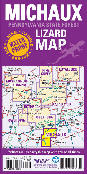
The Michaux Lizard Map covers the northern region from Shippensburg to Mount Holly Springs and south to Biglerville and Waynesboro PA.
Durable, waterproof, and gives you the big picture – the map opens to 24” x 36” and folds easily to 4” x 8” to fit in your back pocket. The scale is 1:37,270 (1.7 inches = 1 mile). Includes both lat./lon. and UTM coordinate systems.
Public land: all of Michaux State Forest (over 85,000 acres), Caledonia, Mont Alto, and Pine Grove Furnace State Parks and the Kings Gap Environmental Center.
Destinations: the Appalachian Trail Museum, which is considered the symbolic halfway point of the AT, historic iron furnaces and an ironmaster’s mansion, the mansion at King’s Gap, and the historic Camp Michaux, a former secret WWII POW interrogation camp.
Roads: all Lizard Maps show which roads are paved or dirt/gravel as well as which are gated administratve roads. Perfect for bicyclists, dual sport riders and overlanders looking to put together a remote backcountry route across public lands.
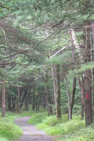
Major hiking trails: the Appalachian Trail (AT) as it traverses Michaux State Forest, the trails at King’s Gap, the Flat Rock Trail System, and Rocky Knob Interpretive Trail.
Major biking trails: Michaux is renowned for its advanced mountain bike trails featuring technical singletrack, steep climbs and steeper descents. The Michaux Lizard Map includes all of the DCNR officially recognized shared use trails at time of publication.
Even more trails: Lizard Maps highlight and designate public trails and paths including hiking, biking, equestrian, skiing and rail trails managed by federal, state and local authorities, including the Mount Hope equestrian trail system. Michaux has an extensive ATV trail system.
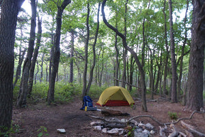
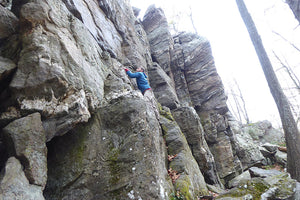
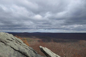
Points of interest: campgrounds, picnic areas, climbing areas, reservable car camping sites, scenic overlooks, observation towers and lizard spots.
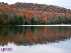
Natural Areas and special designated areas: include Meeting of the Pines Natural Area, Strawberry Hill Nature Preserve, Mount Holly Marsh Preserve, Carbaugh Reservoir, Waynesboro Reservoir, Long Pine Run Reservoir, and the Forest Pool Reserve (Nature Conservancy).
Towns: Biglerville, Mont Alto, Mount Holly Springs, Shippensburg, and Waynesboro PA.
Lizards! The little purple Lizards you’ll find scattered on the map signify an interesting spot to check out. The Legend says “This Could Mean Anything: cool place, sweet view, local legend”.
Accessible! Less than 3 hours from Philly, Pittsburgh, D.C., Williamsport. 2 hours from Baltimore, MD and State College, PA
"I have to say It is a really nice map. My first Purple Lizard map!" Jeff in Maryland.

"Your plasticized Michaux map has been in my hiking gear now since last summer, and it has been great! Paper maps are so perishable. I pull my map out quite a bit because viewing a backlit screen on the trail just doesn't work. And it folds up so nice. And it doesn't need a battery!" - Jeff in PA
Want to get to know all Michaux has to offer?
Check out these Michaux Adventure Blogs
Health warning: continued use of Purple Lizard maps may result in an inability to stay indoors and a sudden criticism of traffic. Your skin may become covered with dust and dirt. Mild confusion will make it difficult to relate time and distance, which may alter your definition of weather. There is a potential for all of these side effects to occur simultaneously and without warning. That's why we are warning you now.
This LizardMap is available flat (rolled up, unfolded) suitable for framing in your living room or just nailing to a cabin wall.
UPC: 809368520232 ISBN: 9798350711318
Looking for this Lizard Map in an app? Head to Avenza!
Shipping Privacy and Return Policies
We are committed to doing our part to help protect beautiful public lands and special places. We are a proud member of 1% For The Planet.
Product Type : Maps


