Your Cart is Empty
Sold out
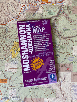
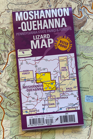
Moshannon-Quehanna Lizard Map, Pennsylvania
$17.00
Never enter the woods without a Purple Lizard Map...not because you might get lost, but because they show you all the cool things you would otherwise miss! —Nate from PA
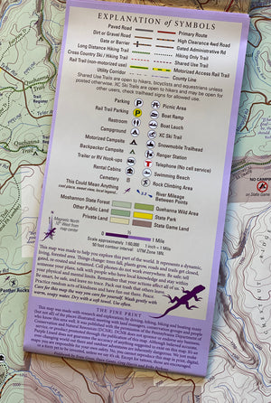
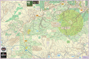
A beautifully designed, easy to read topographic map featuring contour lines, elevation data, shaded relief, and all the key details you need to plan your adventures: backroads and trails, trail use designations, road surfaces (paved/gravel/4wd), parking access, campsites, public lands, historic sites and more.
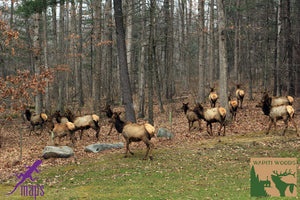
This is one map you are not going to be able to put down as you plan your PA Adventures, and if you want to find the elk herd this is the best map available!
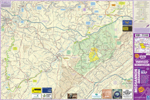
The Moshannon–Quehanna Lizard Map covers such a large swath of the PA Wilds it needs two names for one map! Anchored with State College in the southeastern corner it almost reaches Saint Mary's in the northwest edge. The entire Moshannon State Forest is mapped, along with parts of Elk and Sproul State Forest. The Quehanna Wild Area is the crown jewel of the map, with the Elk Scenic Drive and the town of Benezette and the Elk Country Visitor Center along the northern edge.
Lizard Maps are durable, waterproof, and give you the big picture – the map opens to 24” x 36” and folds easily to 4” x 8” to fit in your back pocket. The scale is 1:60,000 (1 inch = 1 mile). Includes both lat./lon. and UTM coordinate systems.
Public land: over 200,000 acres of Moshannon State Forest, the Quehanna Wild Area and parts of Elk and Sproul State Forests across three counties in Pennsylvania including Black Moshannon, Parker Dam and S.B. Elliot State Parks, Bennett Branch Headwaters, parts of State Game Lands 33, 34, 78, 98, 100, 103, 331.
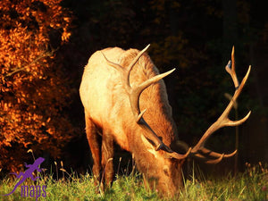
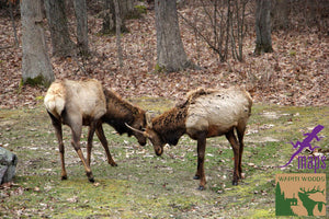
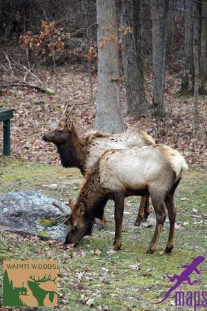
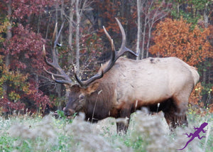
Destinations: Quehanna Wild Area, which is nearly 50,000 acres of protected land with an odd legacy of testing military jet engines as well as housing a nuclear reactor. The Elk Country Visitor Center and the Elk Scenic Drive attract visitors to watch the elk herd, especially during the rut season in fall.
Roads: all Lizard Maps show which roads are paved, dirt/gravel or 4wd roads as well as which are gated. Perfect for bicyclists, dual sport riders and overlanders looking to put together a remote backcountry route across public lands.
Major hiking trails: two long distance backpacking trails shown in their entirety: the 42-mile Allegheny Front Trail (AFT) and the 75-mile Quehanna Trail (QT), as well as the Quehanna Cross Connectors (East and West), with select backcountry campsites shown and every trail in between.
Major biking trails: Moshannon State Forest has miles of shared-use mountain bike trails, and the 13-mile Dimeling-Madera rail trail is a remote route that has not yet been ‘improved’ as a rail trail. The 10-mile Houtzdale Rail Trail is an improved surface trail.
"Your maps show more detail and share special things like no other maps or apps can do." - Todd in PA
Even more trails! Lizard Maps highlight and designate public trails and paths including hiking, biking, equestrian, skiing, snowmobiling and rail trails managed by federal, state and local authorities, including the Rockton Mountain trails, Fred Woods Trail, Thunder Mountain Equestrian Trail and the trails of Rock Run. The Snow Shoe Rail Trail is shown in its entirety, this is permit-required and open to motorized vehicles.
Points of interest: campgrounds, picnic areas, climbing areas, reservable car camping sites, scenic overlooks, observation towers and lizard spots.
Natural Areas and special designated areas: include the Quehanna Wild Area, Bucktail State Park Natural Area, MK Goddard Wykoff Run Natural Area, and Marion Brooks Natural Area which features 975 acres of white birch. For boaters, the put-in and take-out access areas of the West Branch of the Susquehanna River are shown from Clearfield to Karthus, PA. The Red and Black branches of Moshannon Creek (Red Mo) with access points and named rapids are illustrated.
Towns: Benezette, Clearfield, Driftwood, DuBois, Houtzdale, Karthus, Osceola Mills, Philipsburg, Snow Shoe, State College, and Weedville PA.
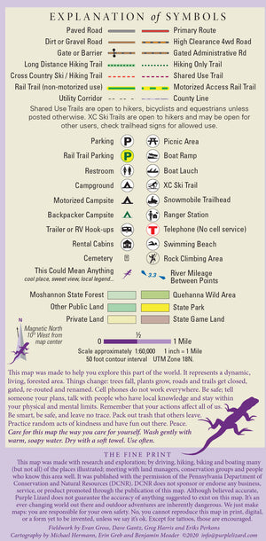
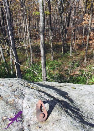
Lizards!The little purple Lizards you’ll find scattered on the map signify an interesting spot to check out. The Legend says “ This Could Mean Anything: cool place, sweet view, local legend”.
Want a special wildlife experience? Head over to Benezette, in the heart of Elk Country!

This is one map you are not going to be able to put down as you plan your PA Adventures!
Want to explore all Moshannon Quehanna has to offer?
And check out the Moshannon Quehanna Adventure Blogs
Health warning: continued use of these maps may result in an inability to stay indoors and a sudden criticism of traffic. Your skin may become covered with dust and dirt. Mild confusion will make it difficult to relate time and distance, which may alter your definition of weather. There is a potential for all of these side effects to occur simultaneously and without warning. That's why we are warning you now.
This Lizard Map is are available flat (rolled up, unfolded) suitable for framing in a corporate lobby or just nailing to a cabin wall.
Shipping Privacy and Return Policies
We are a proud member of 1% For The Planet.
Product Type : Maps


