Your Cart is Empty

Lizard Adventure Blog
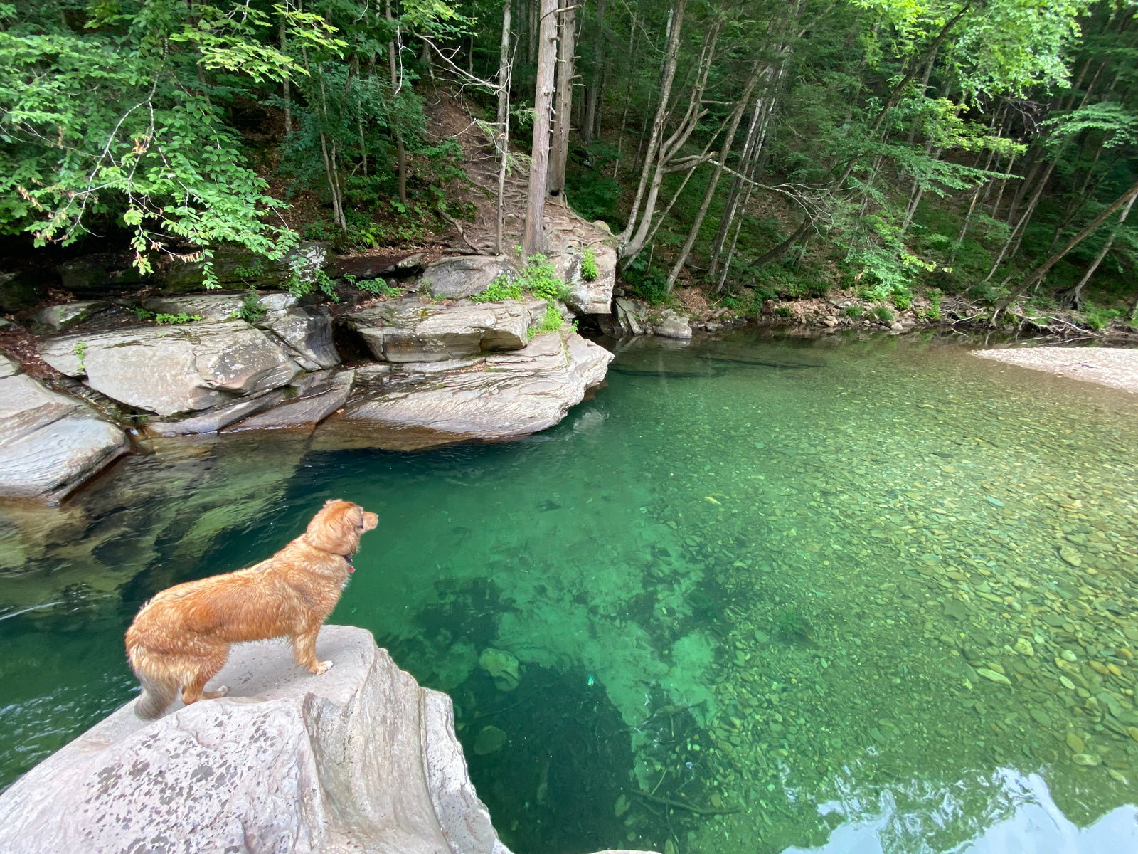
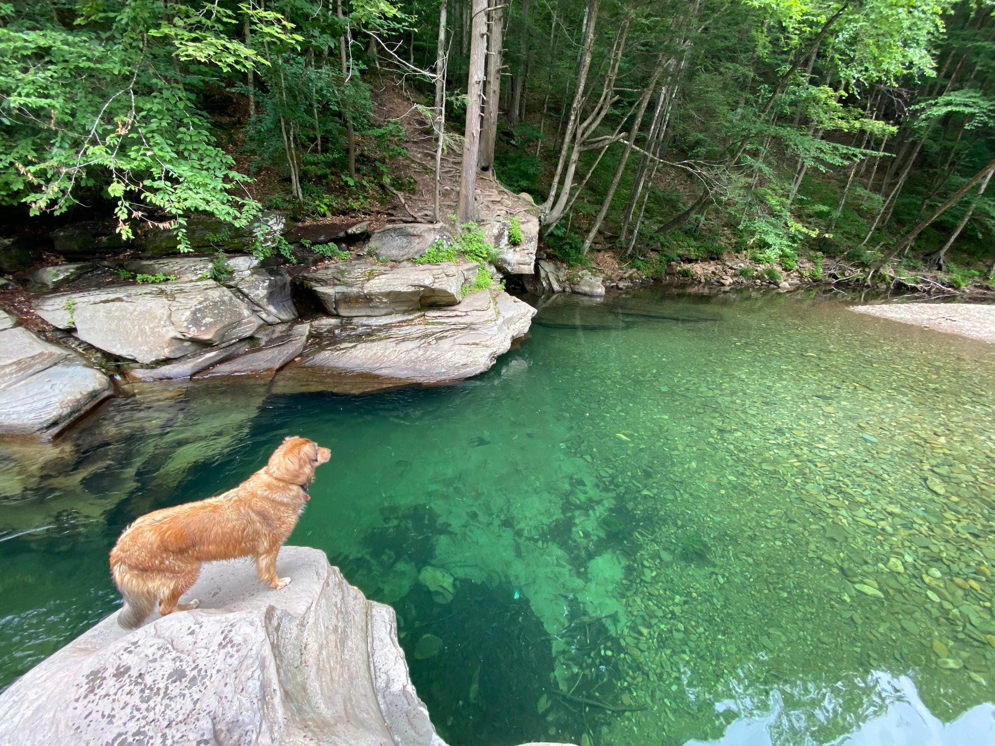
Sinking into Summer in Loyalsock
Loyalsock is one of our go-to choices when we are looking for somewhere to unwind away from the world. There is something magical about this forest. Perhaps it is the fact that "Worlds End" is literally a place name in this forest, or perhaps it's the fact that in the era of overstimulation with technology and news and. . . well everything, this is one of those increasingly rare, beautiful places where for the most part you won't have cell service.
Read More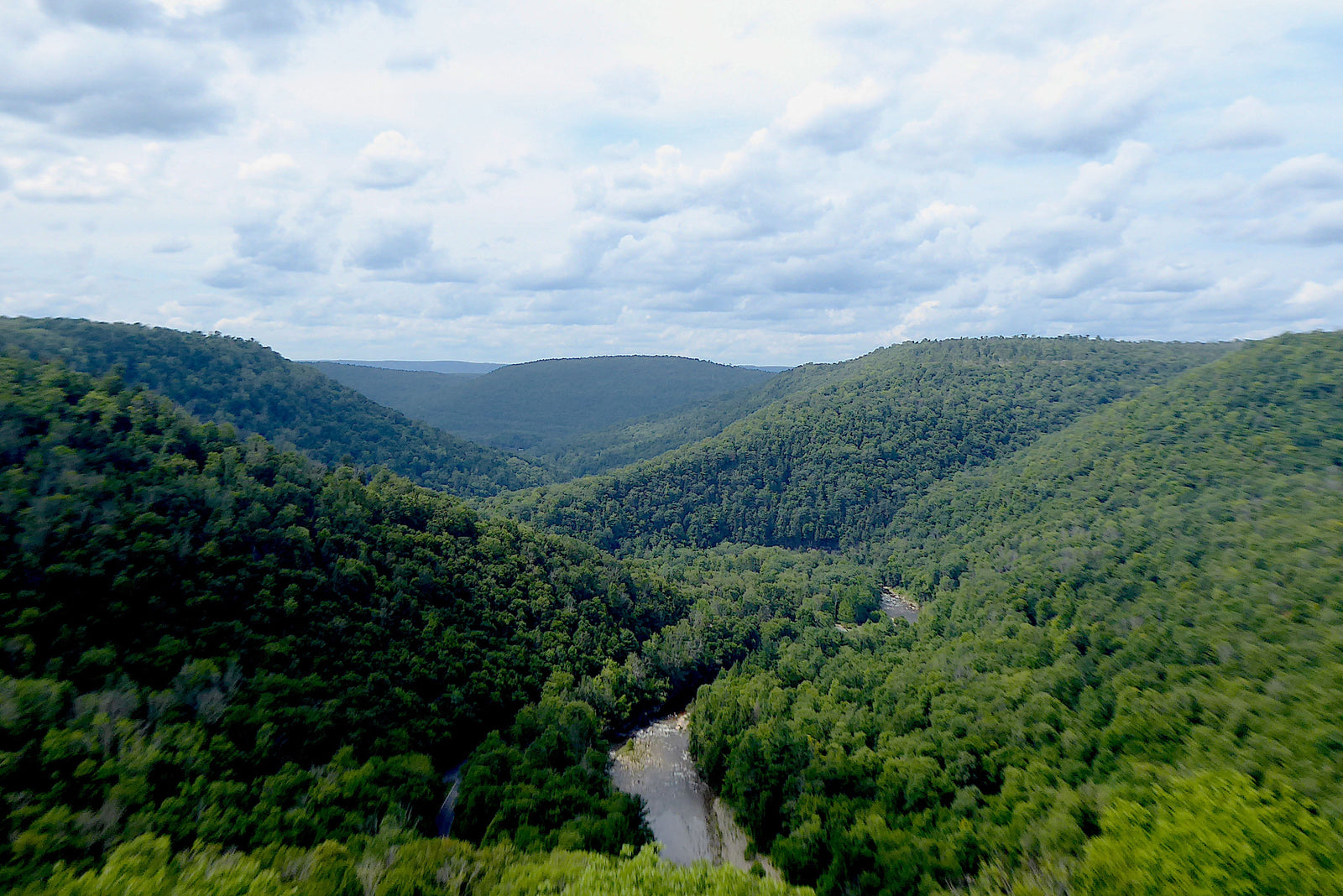
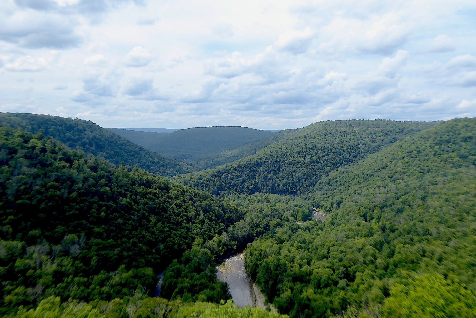
Explore Loyalsock State Forest in the PA Wilds
Loyalsock State Forest, located in the heart of the PA Wilds has just about everything that an outdoors lover could want. Waterfalls, vistas, trails, forest roads, swimming holes, historical relics, camping sites; this forest has it all!
Read More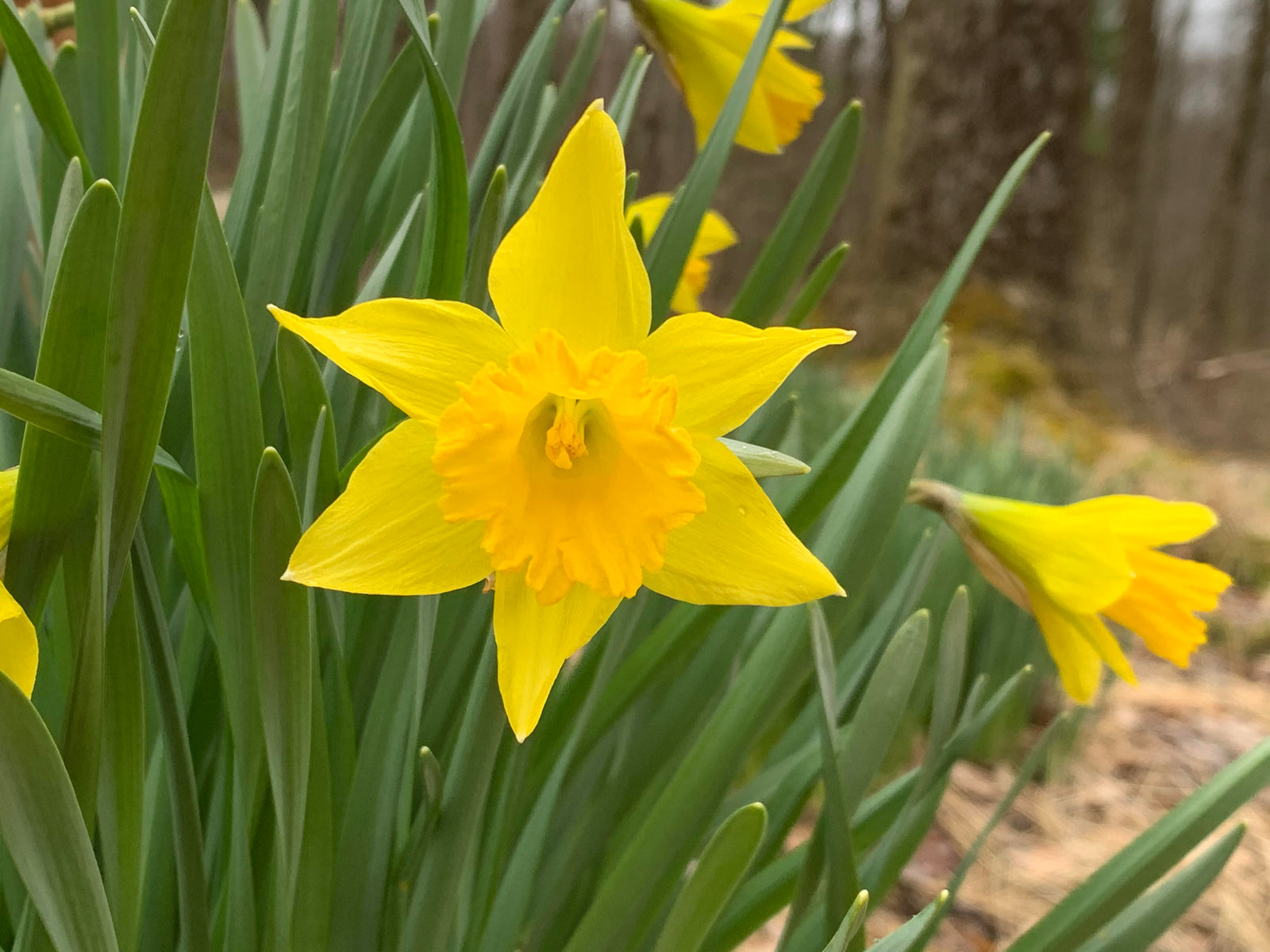

Planning Mid-Atlantic Spring Outdoor Adventure
Throughout the winter, the thousands of miles of state forest gravel roads are often inaccessible in the Mid-Atlantic Region. As spring thaw unfolds, outdoor adventurers of any speed can once again dive deeper into the forest to explore. Start planning your spring outdoor adventures with these tips today. Adventure is for every body!
Read More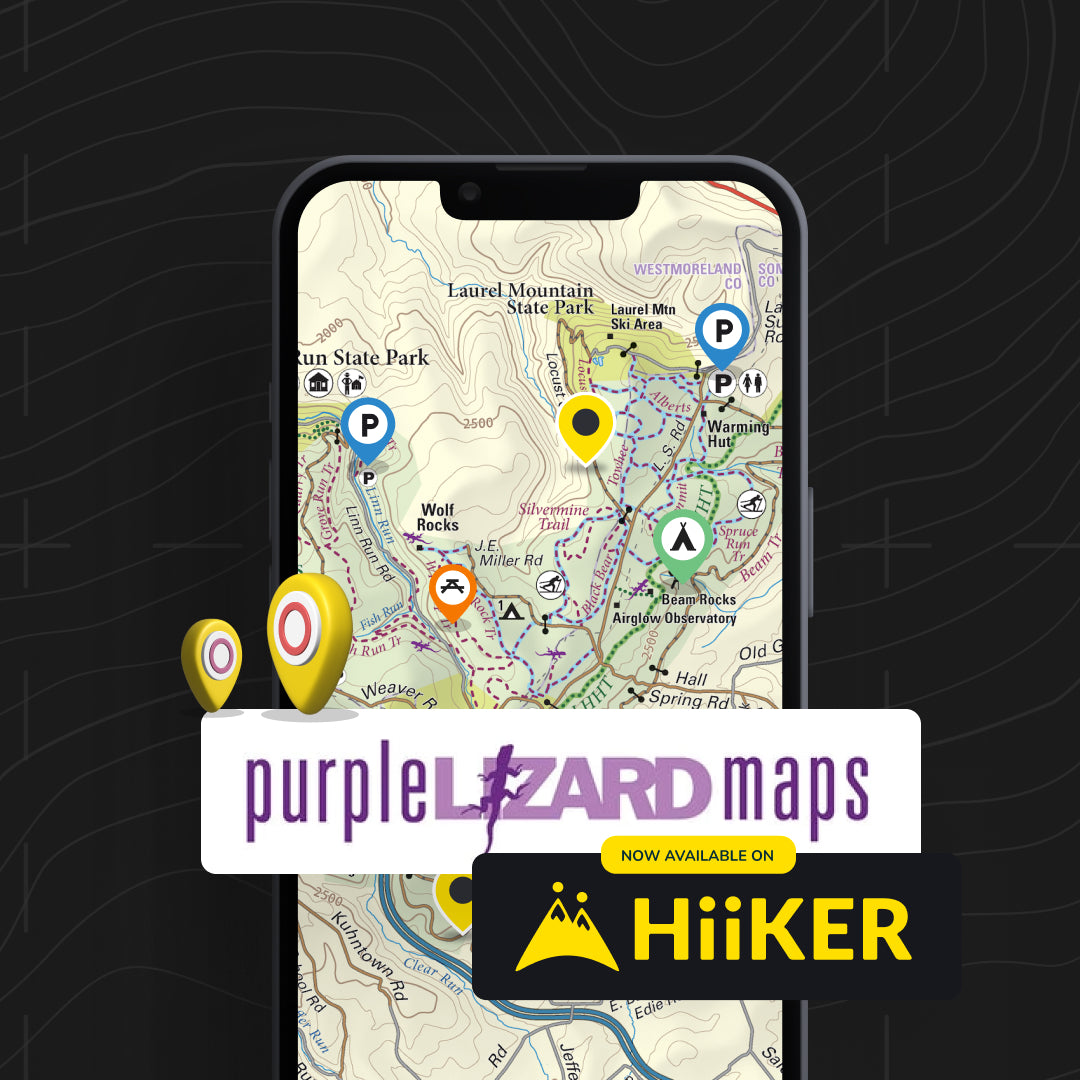

On the Trail with HiiKER: Purple Lizard Maps Digital Partnership
We are proud to announce that we are the first ever US Partner for HiiKER, bringing together two organizations with a shared commitment to quality and adventure.
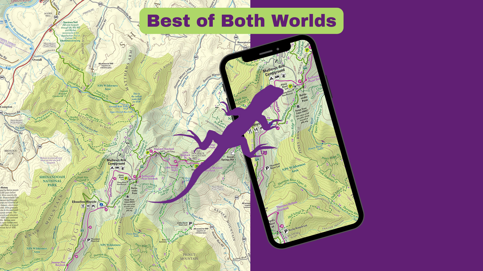

Unlocking the Great Outdoors: The Best of Both Worlds with Purple Lizard Maps
Next time you plan an outdoor escape, consider the synergy of combining Purple Lizard Maps and Digital Purple Lizard Maps on HiiKER or Avenza.
Digital plus real world maps offer the best of both worlds, ensuring that you can immerse yourself in the artistry of "real-world" maps while benefiting from the digital navigation.
Your best adventure begins here, where exceptional cartographic old world tradition meets cutting edge design technology to create the ultimate outdoor exploration experience.

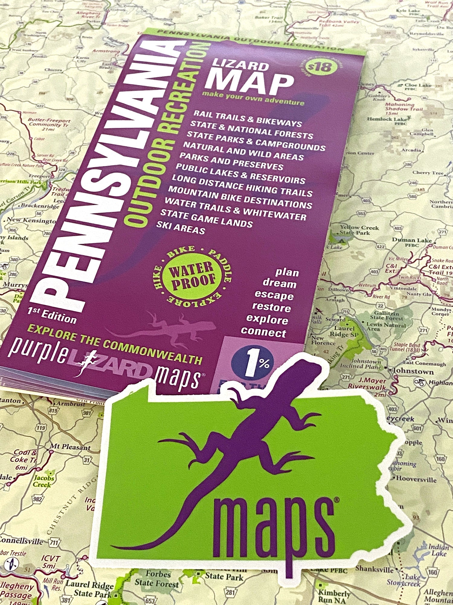
Purple Lizard's Pennsylvania Statewide Outdoor Recreation Map: Elevate Your Adventure Plans
Read More
Gearing Up For A Winter Adventure
Winter is a fantastic time for fun in the outdoors, but small mistakes can add up to big problems for explorers who aren't prepared for winter weather.
Read More
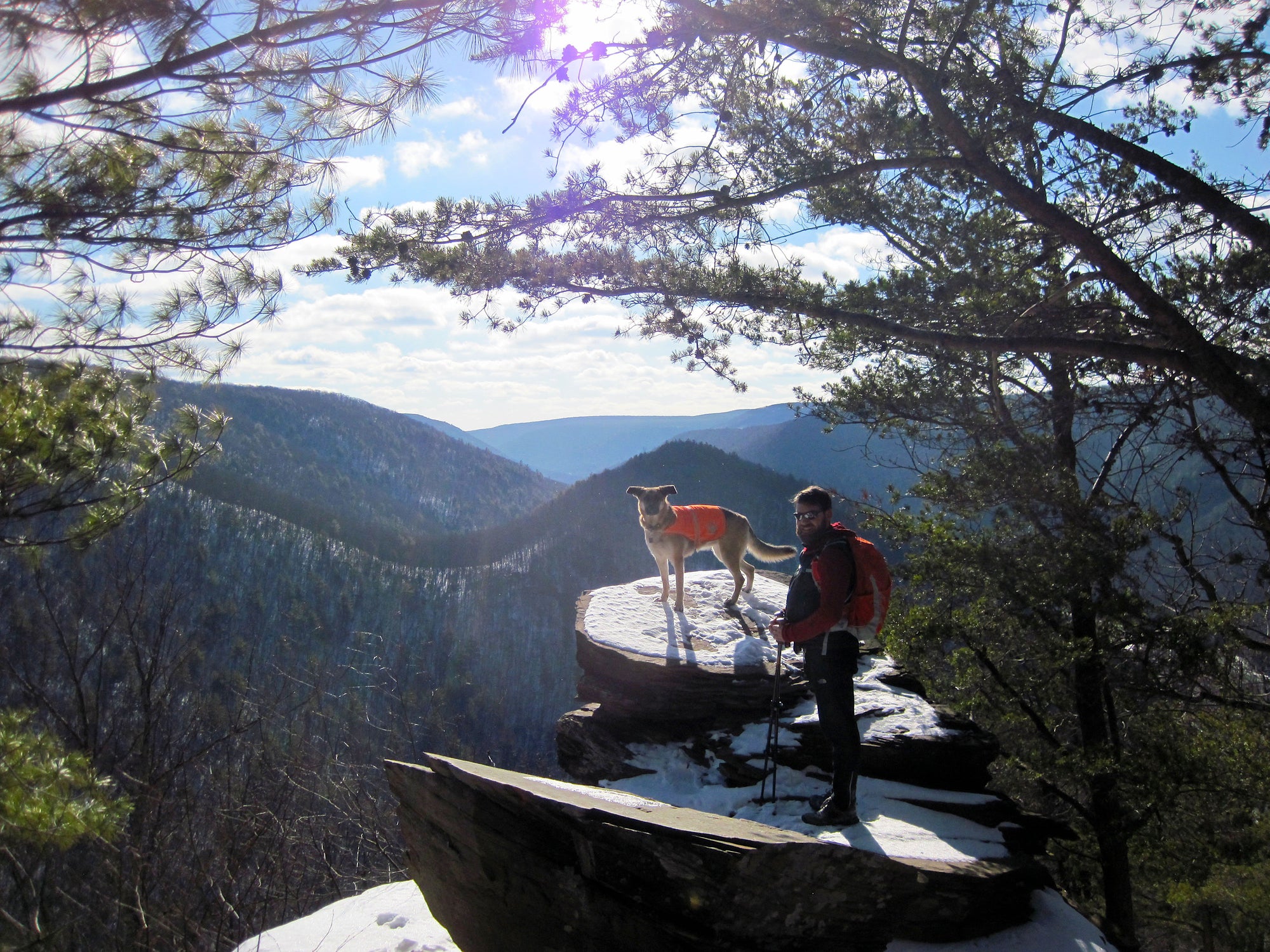
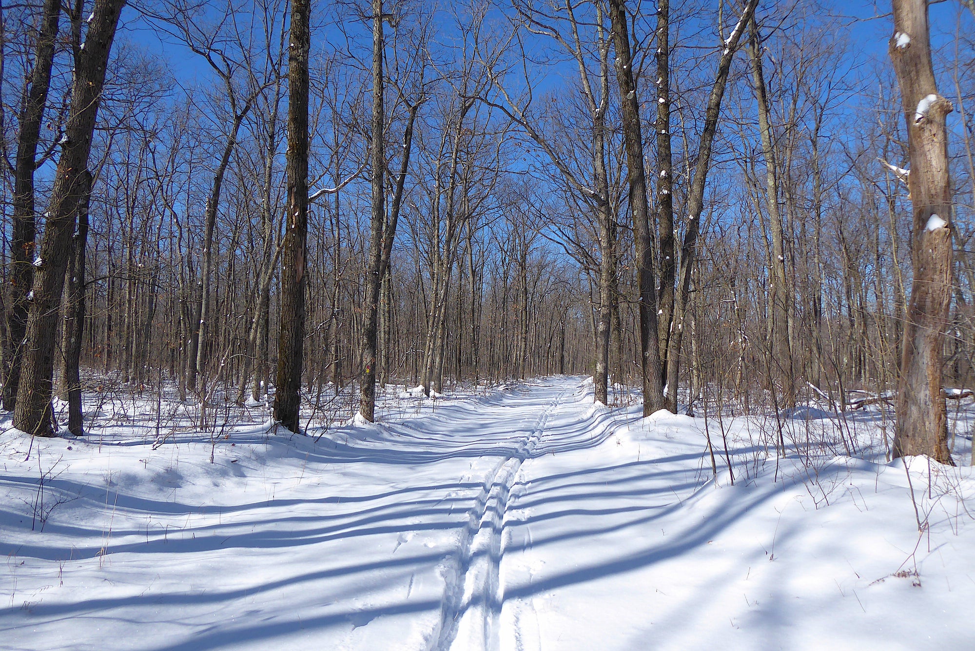
Six Mile Run South: A Winter Day Hike In Moshannon State Forest, PA
Get outside to enjoy evergreen trees while discovering trails near Black Moshannon State Park! Snow or no snow? Doesn't much matter! It's always a great time to grab yourMoshannon Lizard Map and follow along on a short adventure along Six Mile Run that includes green leaves and clear streams all year long - and often a beautiful winter blanket of snow!
Read More
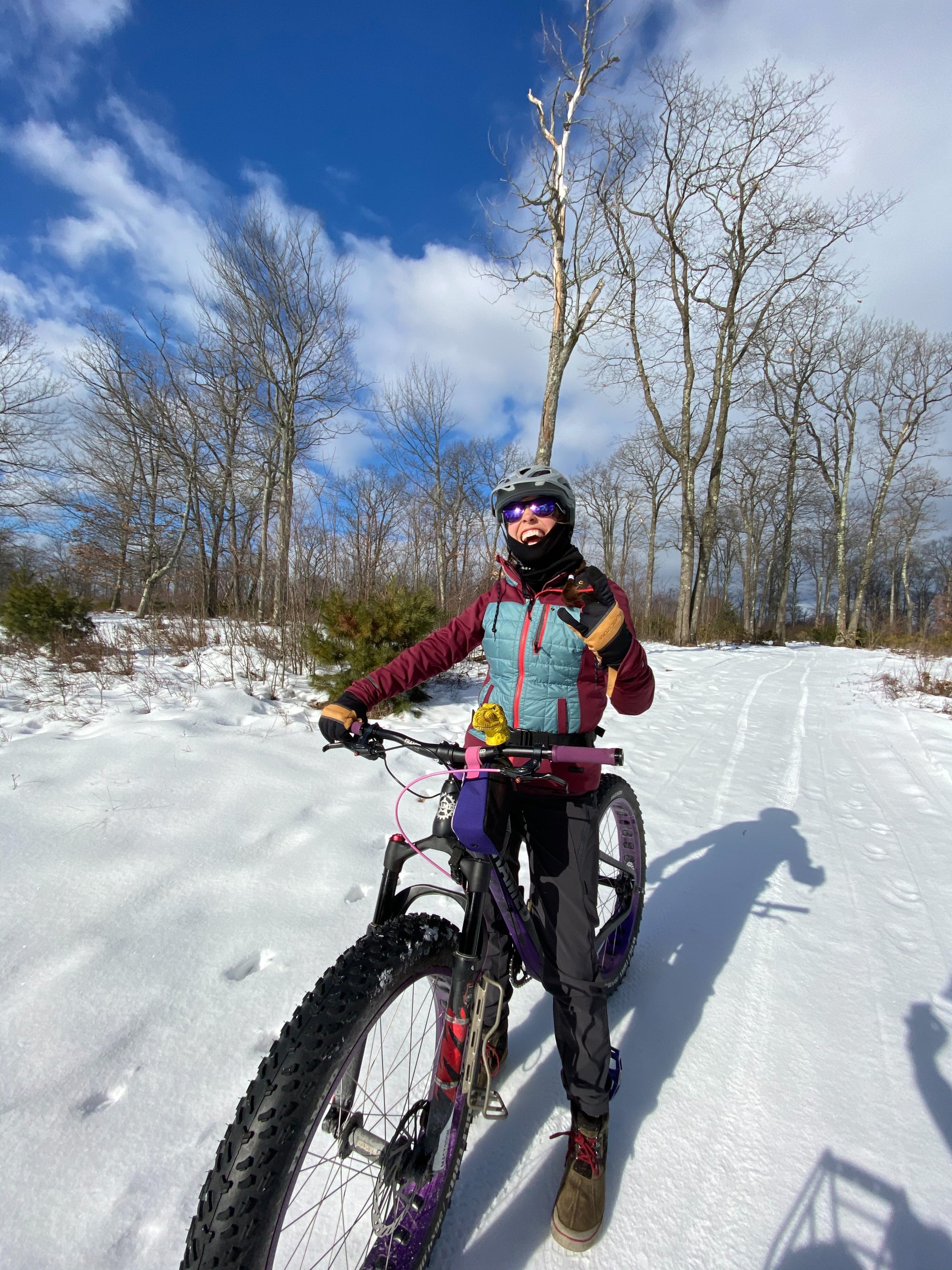
Fat Snow Biking - Winter Adventure on Wheels
Whether exploring forest roads, crushing bike-friendly trails or cruising down the neighborhood lane, fat biking in the winter is a great way to stay active and enjoy the outdoors.
Read More
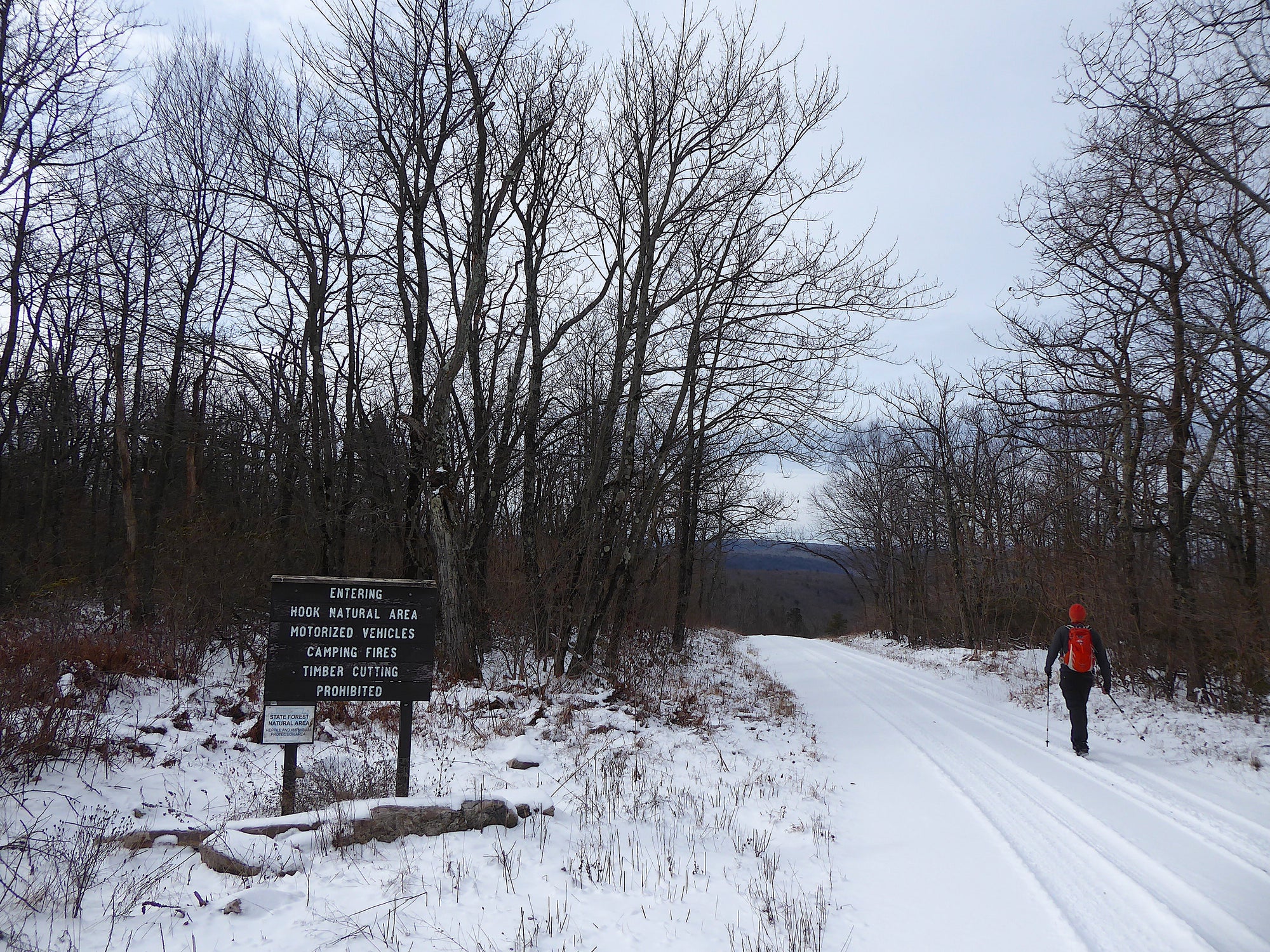
Caught In The Hook: Pennsylvania's Largest Natural Area
What exactly is a designated Natural Area? The goal is to allow nature to take its course as it would without human interruption. Rather than being managed by humans, the State allows these lands to mature and regenerate naturally. To support this goal only exploring on foot is permitted: there is no camping, campfires, bicycles or horses allowed in a designated Natural Area. All motorized vehicles are restricted to the borders and roads around the area. Only day hikers can explore within the borders. The Hook Natural Area, found on ourBald Eagle Lizard Map, is PA's largest Natural Area and offers many opportunities for a great adventure.
Read More
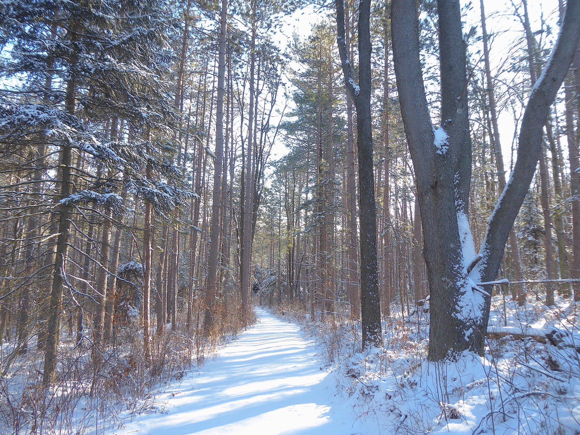
Winter Adventure Getaways in Moshannon State Forest, PA
Winter is very unpredictable in Pennsylvania, regardless of what that silly rodent thinks about his shadow. Some seasons we see a week of substantial snowfall, followed by a warming trend that feels like spring, but we know it's too early... or is it? You can take advantage of these winter/spring/winter conditions and enjoy what Mother Nature offers by considering all the things you can do in Moshannon - ski, snowshoe, hike, bike, or just hang out in a sweet cabin for the weekend!

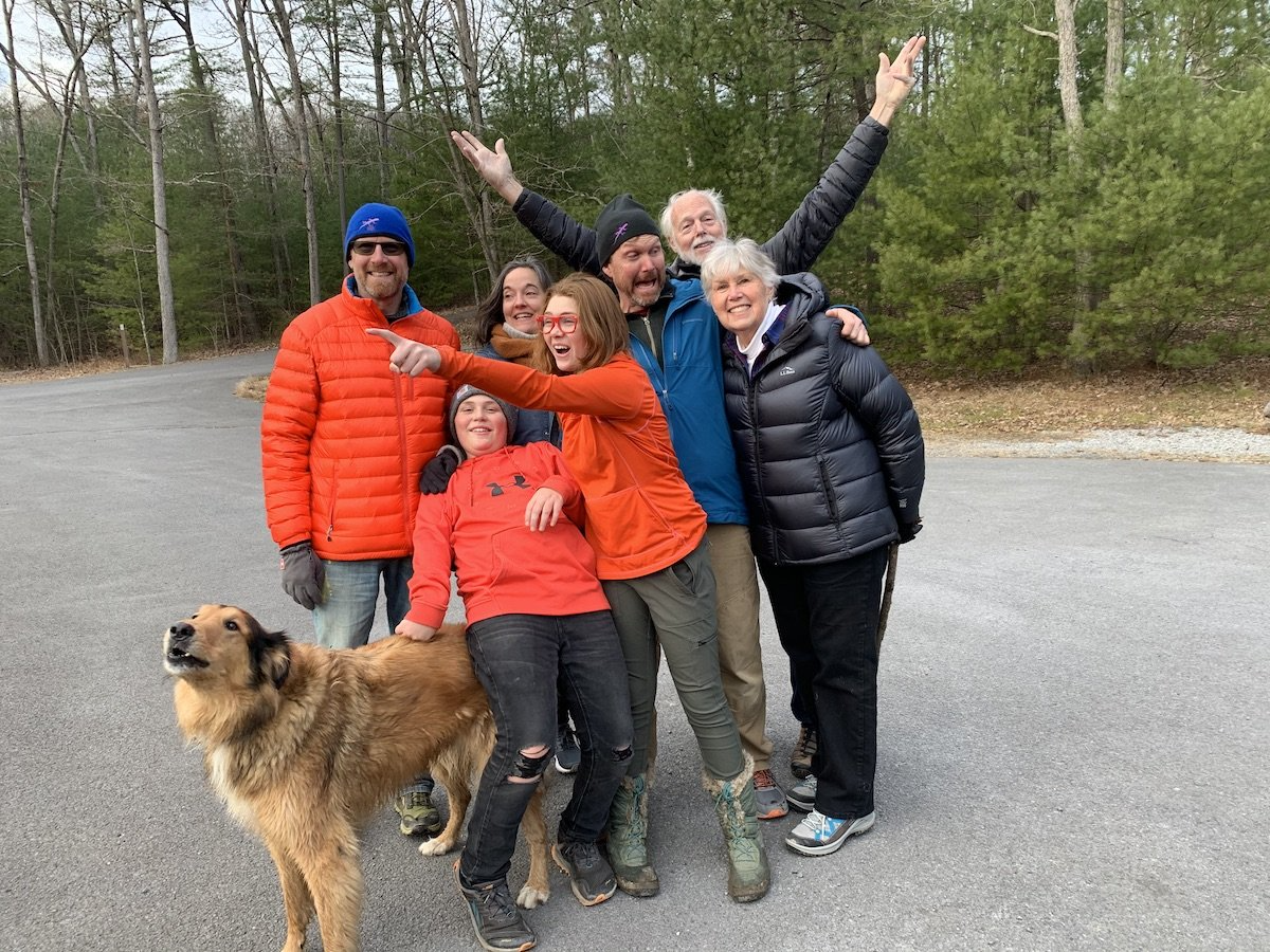
Plan a Festive Holiday Outdoor Adventure
Enjoying the outdoors with friends and family is a great way to celebrate the holidays! Add some outdoor adventure to your family traditions this year.
Read More