Your Cart is Empty
Sale
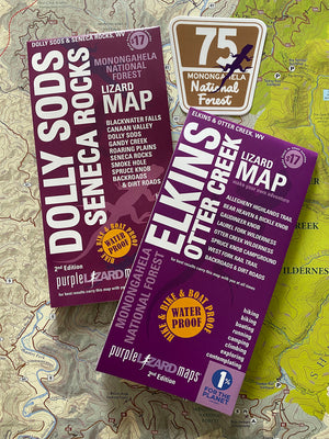
West Virginia Two-Pack: Dolly Sods, Elkins and a Lizard 75 sticker!
$33.00$36.50
Just like two days off are better than one, two Lizard Maps are better than one!
Our Dolly Sods-Seneca Rocks and the Elkins - Otter Creek Lizard Maps cover the northern tier of Monongahela National Forest. These two maps are designed to work together, they are the same scale and overlap by an inch to help you transition east to west. And west to east, because once you dive into these amazing back roads you won't want to stop exploring!
In addition to both West Virginia Lizard Maps we'll include one of our Lizard 75 stickers - this is the Forest Service road sign for the dirt road across the high plateau of Dolly Sods Wilderness, also called the 'Road across the Sky'. When you get there you'll understand why.
Check out this blog on exploring the northern tier to get an idea of what's out there. And this is just a tiny bit!
Shipping Privacy and Return Policies
We are a proud member of 1% For The Planet.
Product Type : Maps


